
We’ve picked up vary amounts of rain the last 36 hours. Most of that rain is moved off to our east, but we will see drizzle cloudiness for much of today. A bright spot is the temperatures which are hovering around 50 at present and might get up to 55 later. Higher still if we can get a bit of sun.
Tomorrow through Wednesday will be lovely days with highs in the low 60s and plenty of sun.

From there we get back into a moisture rich pattern…

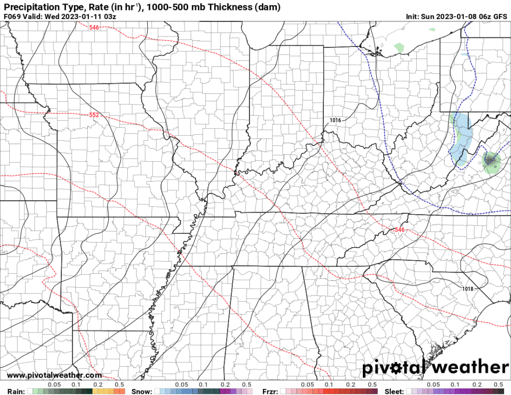
A low will move across our Area Wednesday evening. Will see the risk of showers and thunderstorms on Thursday as a result. These storms do not appear severe using current information, but we’ll keep an eye on it. Here’s the GFS description. Remember, it’s just one run of one model.
There is some hint at a wraparound frozen precipitation event on Friday. Too soon to tell how serious but every indication is that it will be very minor for us.
Quick References:
Weather changes constantly.
Follow @NashSevereWx on Twitter for any changes to this forecast.
Live coverage during tornado and severe thunderstorm warnings.

Look good.
Support the mission.

We are 100% community supported. No ads. No subscription fees. Keep it free for everyone.


Categories: Forecast Blogs (Legacy)
You must be logged in to post a comment.