
Fairly nice day today and tomorrow, highs near 60°. Maybe some drizzle throughout the day Wednesday.
For Thursday, the Storm Prediction Center has outlooked our counites with a 5% chance of severe weather within 25 miles.
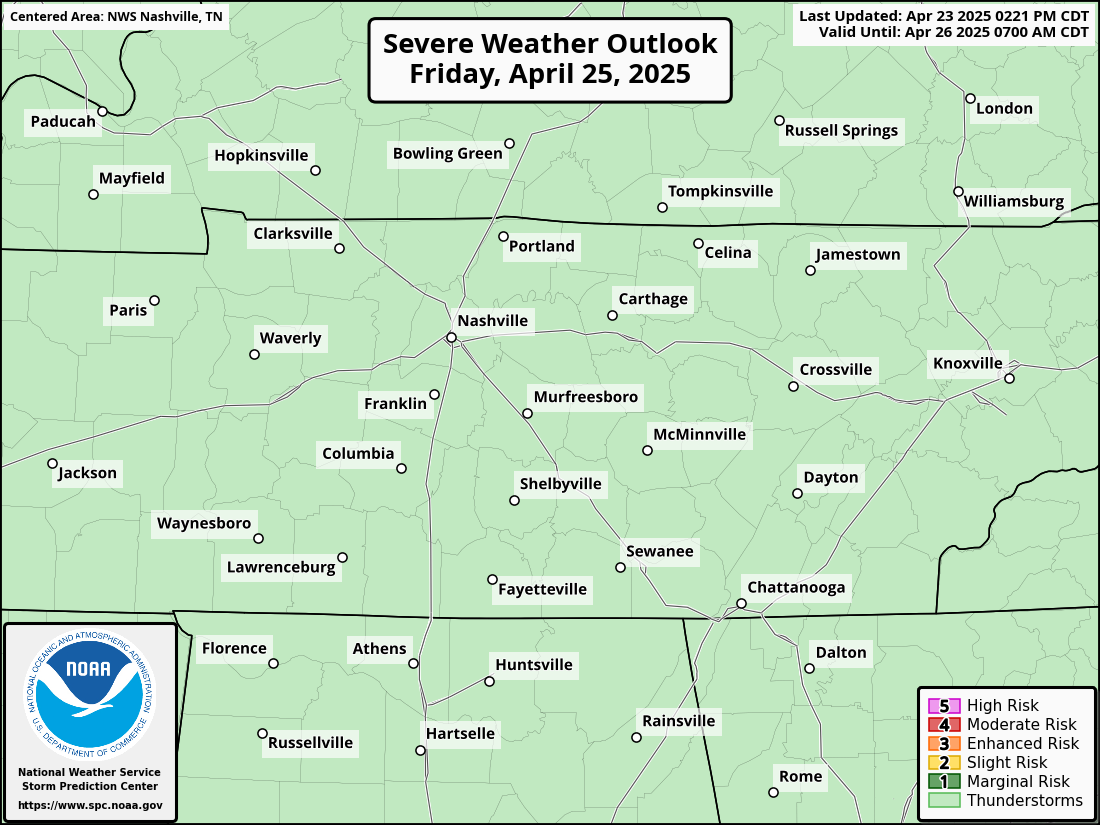
The main threats look to be damaging winds and maybe some hail, but a tornado cannot be ruled out.
Timing for now looks to be morning through about midday. This could change. This certainly isn’t anything to freak out about, more of just have an eye on. Ingredients do not look all that impressive, better chances are down in Alabama.
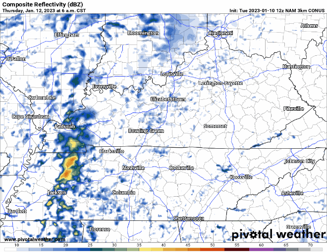
Rainfall totals look to be around half an inch, no flooding concerns.
We’ll briefly cooldown after that system, but slowly warm back up. You may see a snowflake or two fall Friday, no big deal, won’t accumulate, no impacts. Snowfall icon on crap app is misleading you. Maybe a #Blerg on Friday.
Quick References:
Weather changes constantly.
Follow @NashSevereWx on Twitter for any changes to this forecast.
Live coverage during tornado and severe thunderstorm warnings.

Look good.
Support the mission.

We are 100% community supported. No ads. No subscription fees. Keep it free for everyone.


Categories: Forecast Blogs (Legacy)
You must be logged in to post a comment.