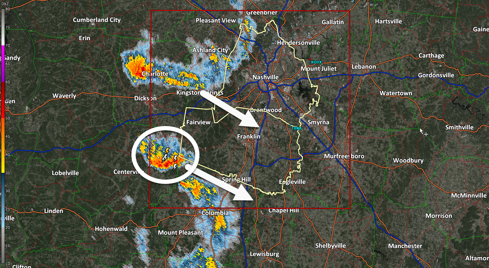
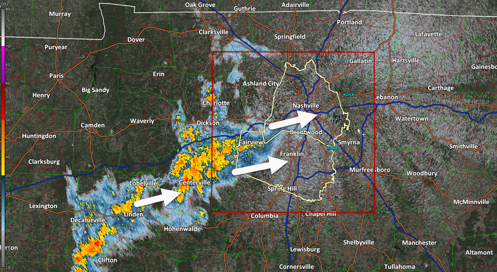
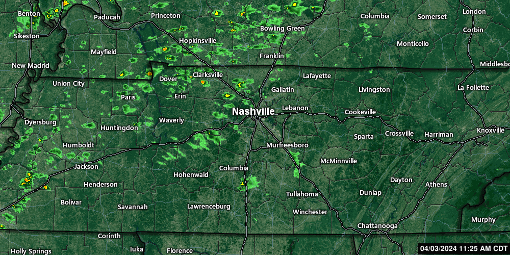
731 PM one thunderstorm is tossing CG lightning heading along and south of I-840. Other scattered rain showers ready to make some of that chilly rain no one likes. Ok maybe some of y’all like it. No severe, no worries.

731 PM one thunderstorm is tossing CG lightning heading along and south of I-840. Other scattered rain showers ready to make some of that chilly rain no one likes. Ok maybe some of y’all like it. No severe, no worries.
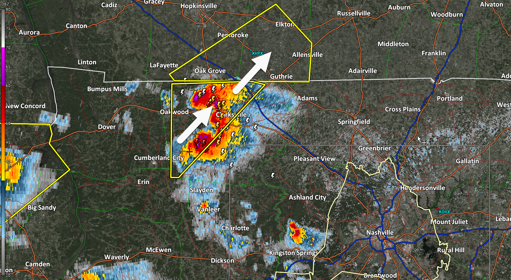
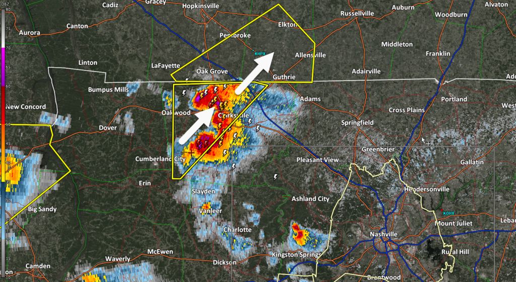
Travel Alert: Large hailstorm about to cross I-24 near Clarksville, TN/KY line. If you’re coming back from the eclipse and stuck in traffic there, maybe pull off. This storm is legit.
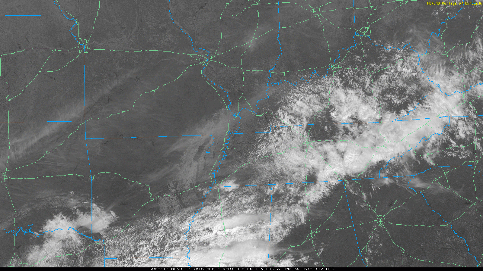
1:00 PM cloud update. Most of us will get Adventure Science Centered. Partial Local Eclipse in just over an hour.
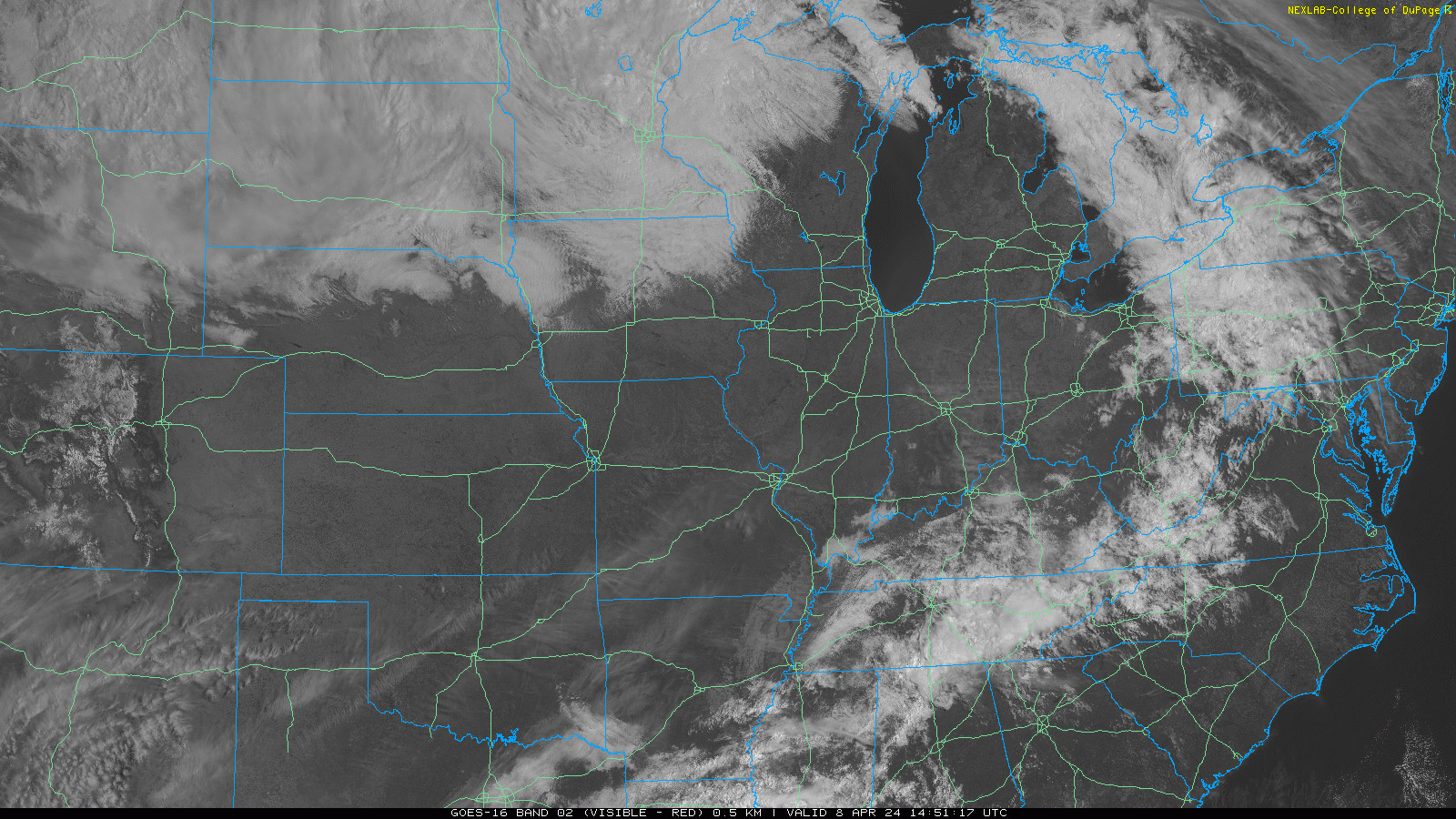
Noon cloud update. Partial eclipse in 2 hrs.
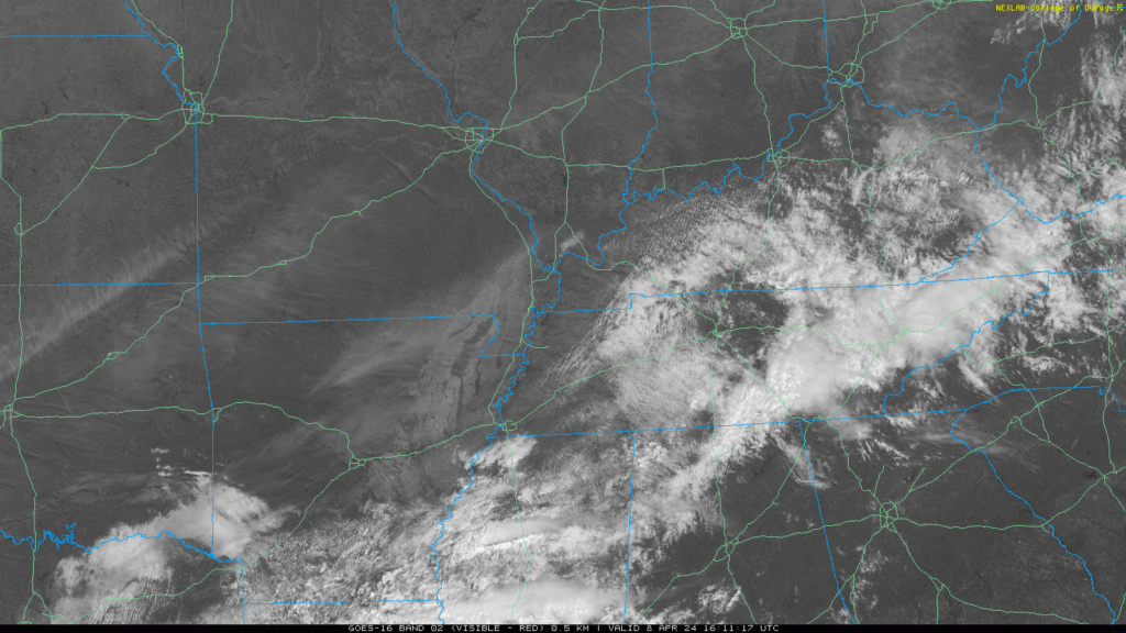
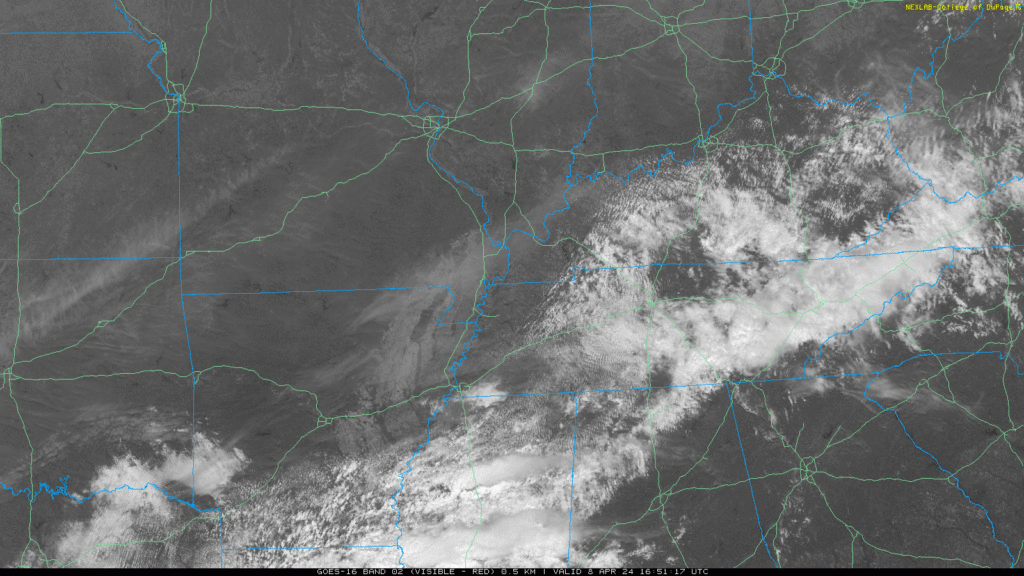
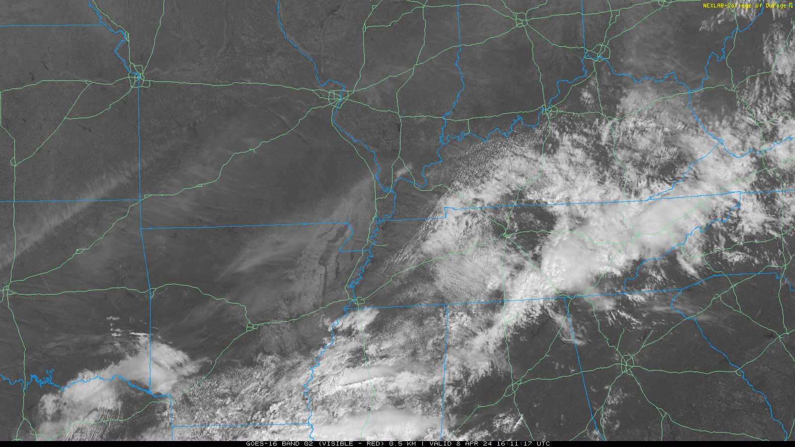
11 AM satellite update. Eclipse in 3 hours. 2:06 PM is what I’m reading.
No concerns. Go back to sleep. Rain, infrequent lightning coming through. Winds are fine. No hail. No chance of tornado. We good, fam.
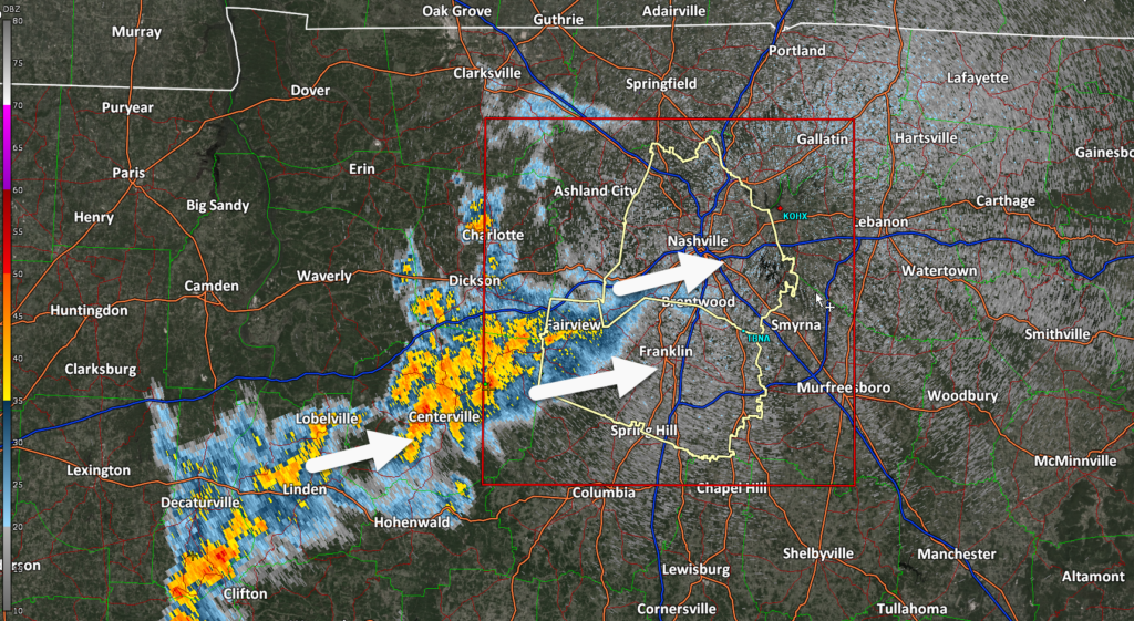
Weak thunderstorms on radar. Not a big deal. Go back to sleep if they wake you.
In this update: (1) Storms Late Tonight. (2) Eclipse Cloud Cover guesses.
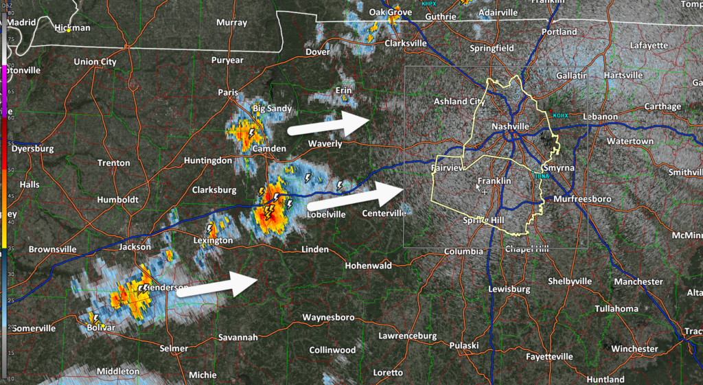
(1) Storms Late Tonight.
ETA midnight tonight, ETD 4 AM. Timing may change.
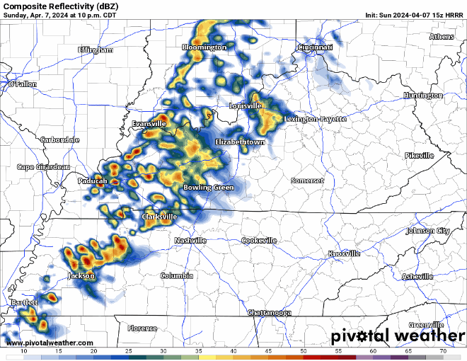
Heavy rain, lightning likely.
Severe (tornado, damaging straight line winds, hail) unlikely. We’re not outlooked by SPC. Those outlooks apply west of us.
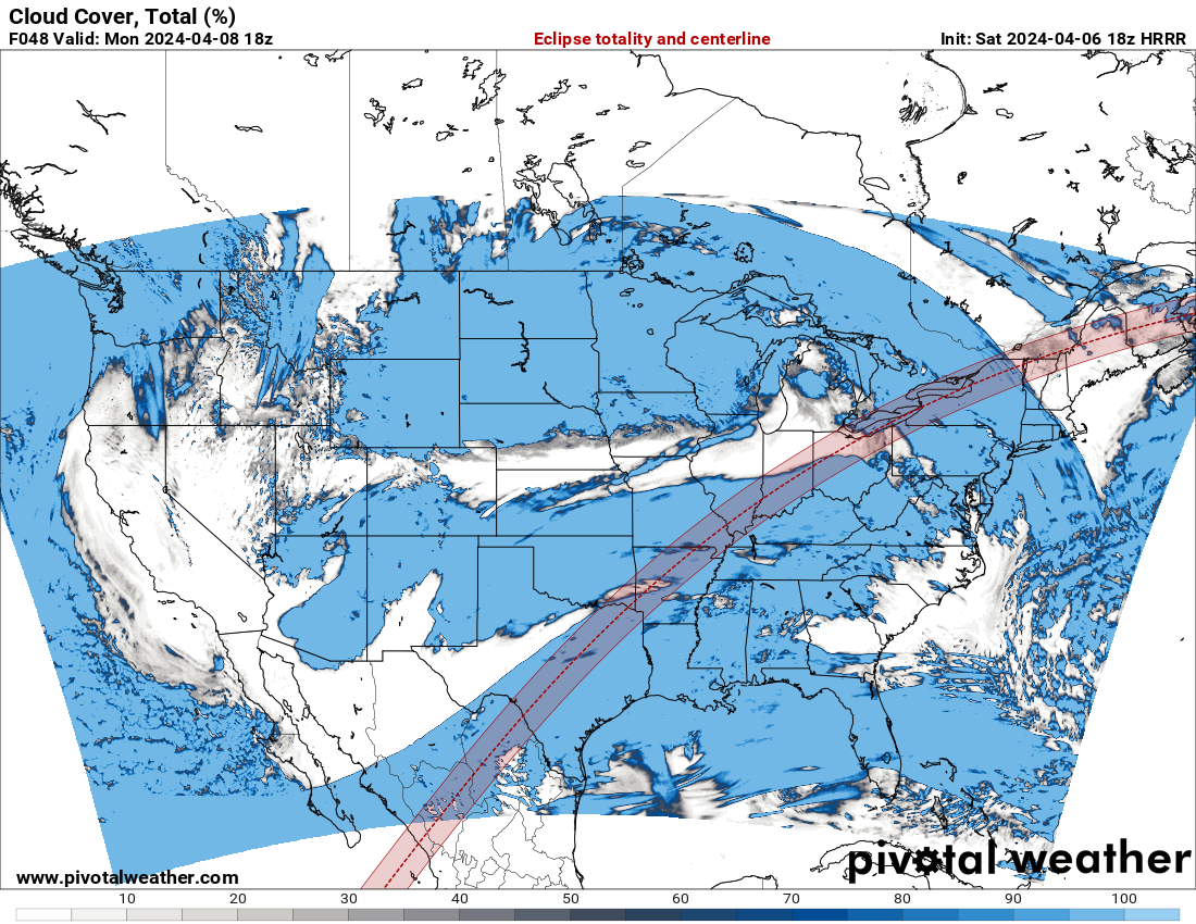
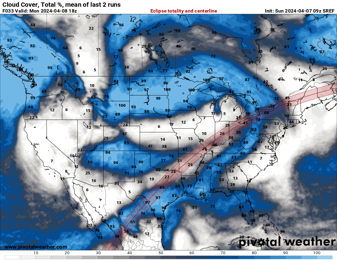
About eclipse cloud cover and sirens …
Clouds are in blue below. This is the HRRR model. It’s probably going to change. Probably change A LOT. Also, I have no idea what track record the HRRR has with cloud cover success 48 hours out. So take with grain of salt.
Temps aloft below freezing. Graupel/frozen precip like Sonic Ice may fall out of these showers this afternoon.
You must be logged in to post a comment.