
45° now but all-day jerk north wind making it feel 38°. Afternoon high 60° but that cold wind doing its thing.
David
Radar check. Rain light. Also lightningless. Will last until midnight or so. Totals 0.25” put many rollyball sports in peril.
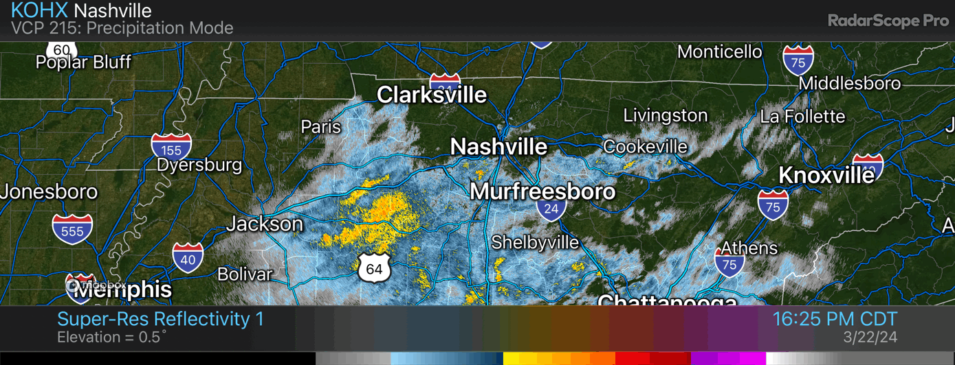
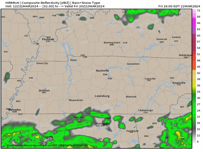
New HRRR model run keeps most rain, late afternoon and tonight, south of 840. Think most will see a light, drizzly, obnoxious rain. No lightning.
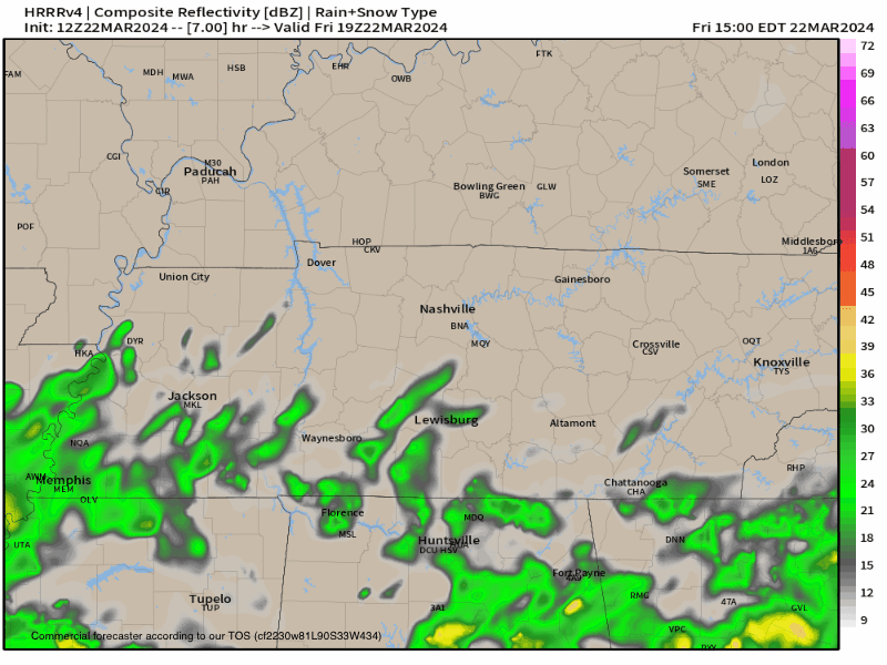
Rain arrives late afternoon and continues thru tonight per HRRR model. No lightning. 0.25” total on avg.
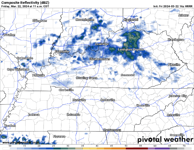
HRRR model has light rain tomorrow night. Most of it misses to our SE. Model may be wrong. Will update.
Rain likely Friday. Lightning unlikely. Hi Res data in range tonight w/ deets. After a quiet weekend, another system late Mon-Tue. Strong winds likely but severe (at least for now) appears unlikely (bc no CAPE). This will be watched.
Spending this blue sky Weds emotionally preparing for a summertime of questions about cicadas and inaccuracies in the coming Twister movie reboot.

Green Thumbers and Burners, heads up. OTW your need to read: low.
Very little overnight rain, meh.
Do No Burning Monday, Tuesday. “There is an initial concern that most of mid state region will experience marginal fire dangerthresholds at least on Monday and Tuesday due to dry conditions, low afternoon humidity levels, and favorable 20 foot winds. Too early to issue any specific fire weather related products, but something certainly to keep an eye out for.” NWS-Nashville.

Next Event Thu/Fri. Deets here. Must read? Nah.
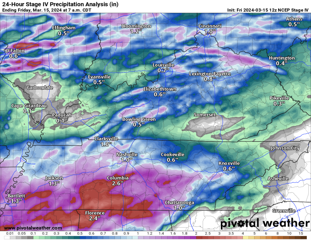
Last Night Review. Rain last night avg around 1″+, more for those south of 840.
One family in my hood got lightning through the roof. No fire, somehow, and thankfully. No one hurt.
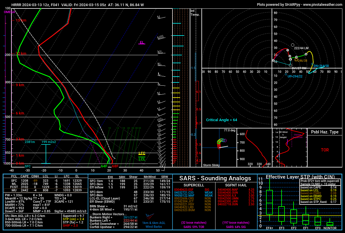
My anxiety level rising for Thursday night. What looked like a meh line incoming is now in range of convective allowing models like the HRRR. Those models show strong/severe storms arriving late night Thursday or the wee hours Friday AM.
You must be logged in to post a comment.