Author Archives

David

3 “Meh” Chances for Snow Next Week

Love snow? Don’t get excited. At least, not yet.

All quotes from NWS-Nashville.

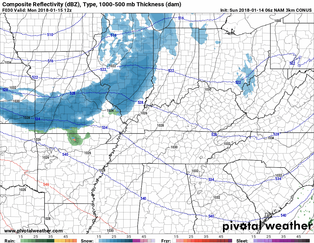
Chance #1: Monday, Very Low, Almost Not Worth Mentioning

So low, it’s not even in the weekly summary:

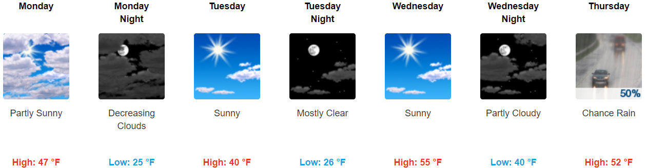
Clearing will be brief as a fast-moving shortwave clips the mid state tomorrow [Monday] and even brings a chance of light rain/snow mainly to the northern Plateau before making a quick exit. read more

Snow Likely Early Tuesday Morning, 0.5″ to 1.5″, Winter Weather Advisory Likely

No Worries Flurries Possible Tonight/Overnight

As I write, radar indicates a weak clipper system producing flurries in Missouri and north Arkansas. As it creeps east into Middle Tennessee, it should encounter low moisture content. Therefore, at most only flurries are expected here. NWS-Nashville wrote: “There should be no impacts from this quick-hitting clipper.” read more

Winter Weather Advisory, Ice 0.1″ to 0.2″, Snow Up To 1″ to 2″, Watching Those Jerk HRRR Model Runs

First let me acknowledge and thank our Intern, Brendan Schaper, for his help with this update.

Winter Weather Advisory – 8 AM Friday through Midnight Friday Night

We remain under a Winter Weather Advisory, beginning Friday at 8 AM, ending midnight Friday night.

Rain will transition to freezing rain and sleet in the morning, then to snow late morning or early afternoon. Ice accumulation of one to two tenths of an inch will occur along with the possibility for 1-2 inches of snow. read more

Updated – Friday’s Ice, Snow, ETAs, Flights, Travel, & Other Info

Winter Weather Advisory – Now In Effect Through Midnight Friday Night

Updated: We are under a Winter Weather Advisory, beginning Friday at 8 AM, ending at MIDNIGHT Friday night.

Rain will transition to freezing rain and sleet in the morning, then to snow late morning or early afternoon. Ice accumulation of one to two tenths of an inch will occur along with the possibility for 1-2 inches of snow. read more