Current Temps and Radar

Overnight we will remain clear and temps will cool into the lower 40’s.
Tuesday – Mostly Sunny, Isolated Showers & Thunderstorms Possible After Noon – Wake Up 44°, High 74°

Current Temps and Radar
Overnight we will remain clear and temps will cool into the lower 40’s.
Tuesday – Mostly Sunny, Isolated Showers & Thunderstorms Possible After Noon – Wake Up 44°, High 74°
Current Temps and Radar
Tonight – A Few Thunderstorms Overnight, Lows in the 40°s
The Hard Freeze Warning expired at 10 AM. I hope you were able to give it a proper farewell….

Clouds have increased this evening ahead of an approaching front. Temperatures will drop to the mid 40°s overnight. (No Freeze Watches, Warnings, or other silly stuff. Woohoo!)
Current Temps and Radar
Today – Cold Start – High: 47°
The National Weather Service has placed Middle Tennessee under a Hard Freeze Warning until 10 AM because today’s morning low temperature is in the mid 20’s.
Current Temps and Radar
Tonight – Getting Colder
The light rain/sleet shenanigans from this afternoon and evening are moving east to bother others.

Cold temperatures will continue to be a bit of a Debbie downer tonight…
Current Temps and Radar
Tonight – Rainy, Getting Colder
Temps are diving into the 40°s right now, and won’t stop falling overnight until they hit 35° early Friday morning.
As for the rain, check out the radar, above. Rain should end well before midnight.
Current Temps and Radar
Wednesday – Our Last Warm Day
The HRRR model below keeps any rain away until the evening. Even then, just spotty showers are likely. The NAM agrees.
More clouds move in today, but we’ll still see enough sunshine to warm us up to the mid 70°s this afternoon. Get out and enjoy it.
Current Temps and Radar
Below is what the High Res NAM weather model is showing at 3 AM Wednesday morning.

Wednesday – Gathering Clouds, Slight Chance of Rain/Thunderstorms – Wake Up 57°, High 75°
Current Temps and Radar
Tuesday – Patchy Fog Early. Clouds Start to March In – Wake Up 48°, High 74°

Wednesday – Chance of Showers & Thunderstorms – Wake Up 56°, High 72°
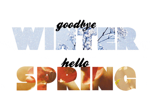
It’s time to say some words.
Current Temps and Radar
Monday – A Dry Day – Wake Up: 45°, High: 70°
Temps will climb to the upper 60s with northeast winds around 5 mph, making for a nice afternoon.

Tuesday – Clouds Return with Next System – Wake Up: 50°, High: 70°
Current Temps and Radar
Spring has sprung!
Sunday – Mostly cloudy – Wake Up 49°, High 66°
We will be mostly cloudy during the day. Rain will pass south of us, but we don’t think we will see anything. Still, we cannot rule it out.
You must be logged in to post a comment.