
Current Temps and Radar

Monday – A Dry Day – Wake Up: 45°, High: 70°
Temps will climb to the upper 60s with northeast winds around 5 mph, making for a nice afternoon.

Tuesday – Clouds Return with Next System – Wake Up: 50°, High: 70°
Tuesday will be another warm day with highs nearing 70. However, the clouds will return ahead of our next system.
By Tuesday evening, that system will be to our northwest.
A slight chance for thunderstorms is in the forecast beginning Tuesday night and into Wednesday as this system passes through the area.
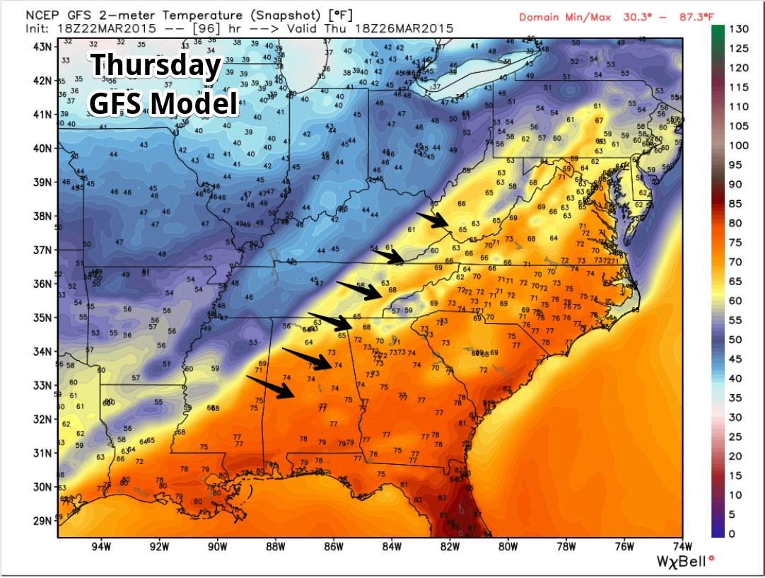
A cold front will move through on Thursday, bringing a slightly better chance of thunderstorms and really cooling us down headed into Friday.
*No severe weather is expected with either round of thunderstorms. Also, it’s still a few days out. We’ll keep an eye on it.
Extended:
Thursday will signal the arrival of an unwelcome cold front, which will send low temperatures during the weekend below freezing.
This website supplements @NashSevereWx on Twitter, which you can find here.
Categories: Forecast Blogs (Legacy)