
We’re been on a bit of a roller coaster lately. We are seeing disturbances here and to our north cause us to swing from lovely spring days to blerg. It’s the same story this week.
At this hour (Noon), the radar looks rain free. But the satellite and super mega cam tell a different story.
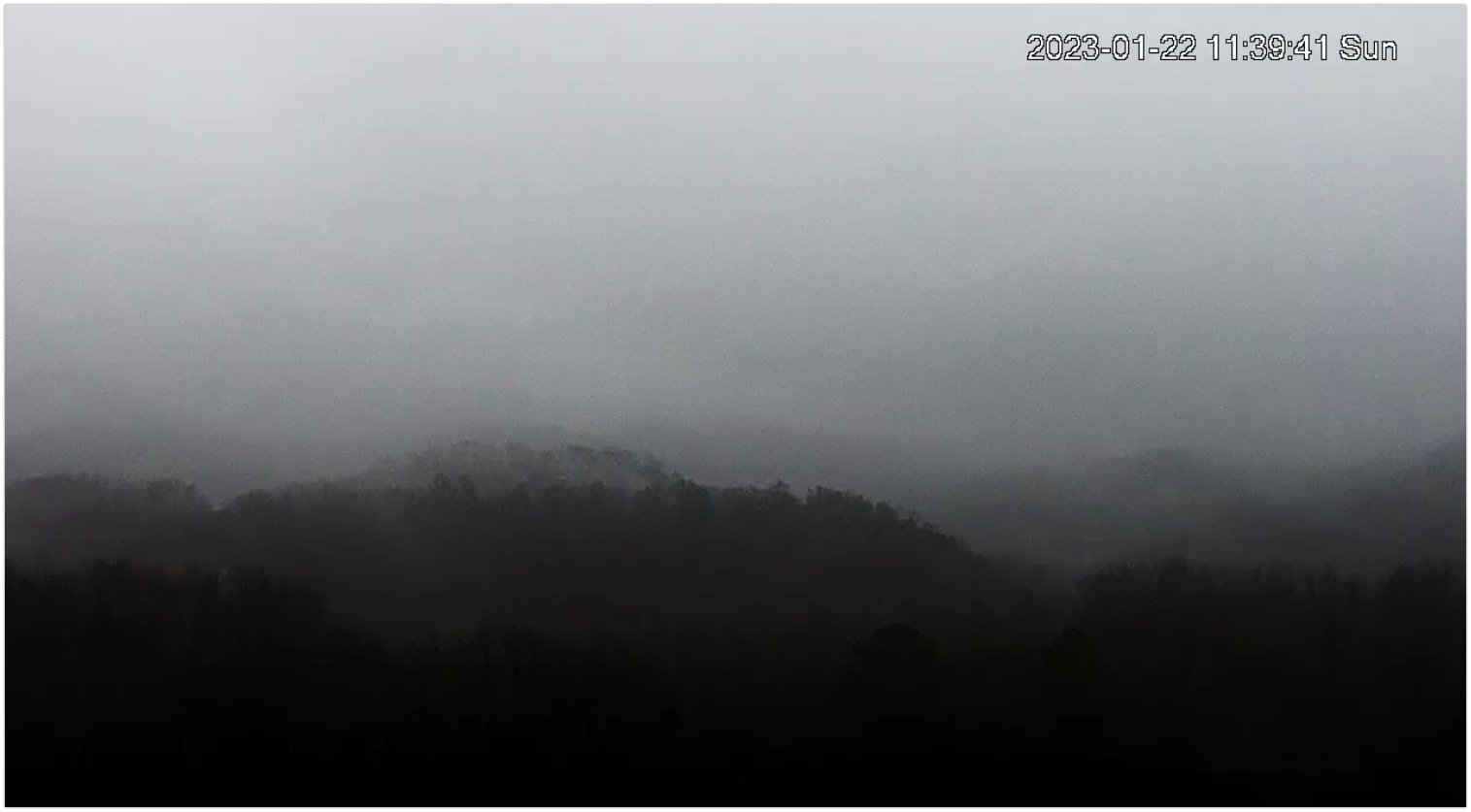
High res satellite shows little in the way of thinning or gaps to let the sun in. Although most of the rain has moved to the east, low clouds are making for a drizzly day.
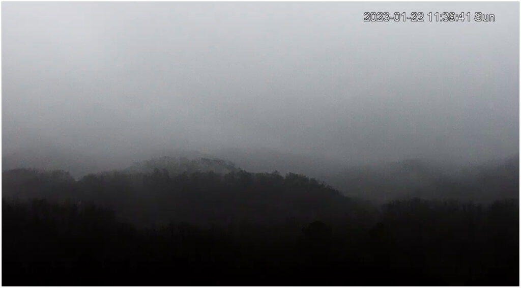
Super Mega Cam looking toward Nashville from Gallatin.
Just to our north, the system that pulled away from us is dropping snow and rain on parts of Kentucky and Ohio. Glad we aren’t there!
We’ll see a bit more rain tonight along with a jerk northwest wind putting temps into the 30s for tomorrow morning. But the things brighten up for tomorrow.
By Monday afternoon we’ll be in the sun and the wind will have died down and through Tuesday things are great. Temps in the seasonal mid 40s with plenty of sun and high clouds. Then, the roller coaster dives.
A bowling ball of a system rolls just to our north bringing rain overnight Tuesday into Wednesday. A wind advisory is likely for the day on Wednesday, even after the rain exits midday. We can see over an inch of rain Tuesday – Wednesday. The good news is that at this point, we don’t see any concern for severe or winter weather. We’ll be watching it while eating our lunches outside Tuesday and Wednesday. Wind will continue on Tuesday but temps will rise and skies will be mostly clear as we approach another upswing of mild temps.
Quick References:
Weather changes constantly.
Follow @NashSevereWx on Twitter for any changes to this forecast.
Live coverage during tornado and severe thunderstorm warnings.

Look good.
Support the mission.

We are 100% community supported. No ads. No subscription fees. Keep it free for everyone.


Categories: Forecast Blogs (Legacy)
You must be logged in to post a comment.