
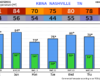
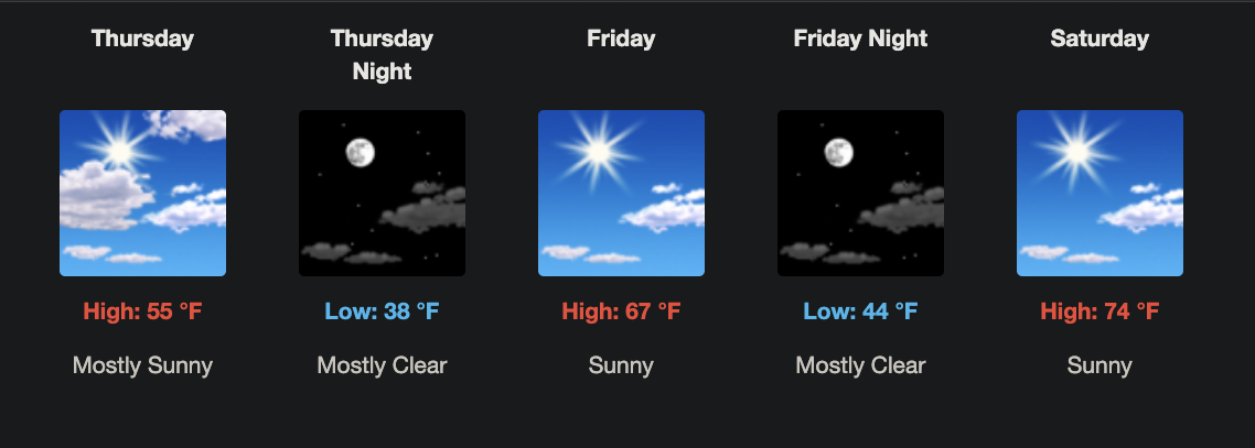
Beautiful weather coming this weekend.
The only wrinkle is a round of showers and a few thunderstorms Sunday afternoon into Monday morning, and even that looks pretty tame.
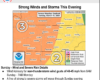
NWS-Nashville’s key messages back this up:
Warming this weekend with highs mostly upper 70s and lower 80s. Medium to high rain chances Sunday afternoon into early Monday. No hazardous weather through the next 7 days.
You must be logged in to post a comment.