Current Hourly Observation:

Tonight – Brine Watch
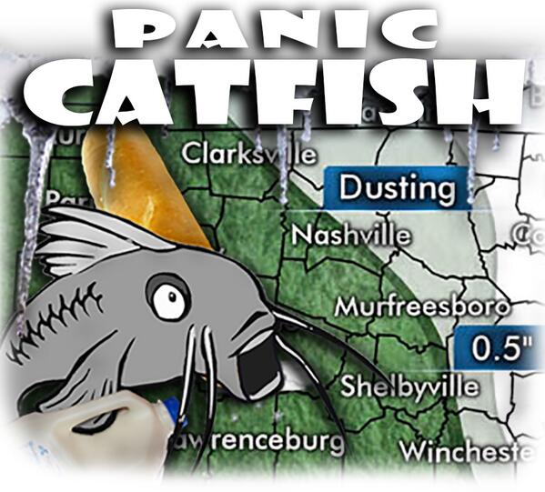
He’s freaking out.
We’re not getting emotional. We prefer to stay calm during this crisis.
Here’s what (we think) we know:

Current Hourly Observation:
Tonight – Brine Watch
He’s freaking out.
We’re not getting emotional. We prefer to stay calm during this crisis.
Here’s what (we think) we know:
715PM Update

6 PM Update
A Tornado Watch is in effect until Midnight. We’re on the eastern edge of the Watch area.

A Watch means conditions are favorable for a tornado. You should closely monitor the weather and know where you’re going to go in the event a Warning is issued.
451 PM Update
Latest ETA according to the HRRR is 10 PM:

3:30 PM Update

There’s not a lot of certainty with this ETA. We could see the storms in Fairview/Bellevue and other places in Western Williamson and Western Davidson Counties by 8 PM or after, crossing I-65 between 9 PM and midnight.

Summary: Damaging Winds are the main concern tonight. There is a smaller — but certainly a real — chance of a tornado or two tonight.
Current Radar:

Special Weather Statement for Middle TN from our NWS
Now
Latest Official Hourly Observation:
Current Radar
Tonight/Overnight – Rain Arriving
Rain is on the way. HRRR 9 PM Friday to 4 AM Saturday

Saturday – Rain, Wind, & Possible Severe Weather
Latest Official Hourly Observation:
Today
Off and on (mostly off) rain is expected.
Current Radar:
Here’s the RAP model predicting rain from noon Friday to 9 pm Friday:

Saturday Severe Weather Details
9p 40 . Midnight 38
Light rain will increase, then give way to steady rain after midnight. HRRR 1 a.m. Saturday morning:
There’s a remote chance a few snowflakes could mix in. Do not freak out. Surface temps will be comfortably above freezing.
Latest Official Hourly Observation:
Friday – Increasing Clouds, Evening Rain/Snow – Morning Low 24 / Afternoon High 48
6a 24 . 9a 33 . 12p 43 . 3p 46 . 6p 42 . 9p 40
After a cold morning, we’ll warm almost to 50 in the afternoon.
Current Official Hourly Observation
First and foremost, thank you to everyone who tweeted in reports last night via #tSpotter and as replies to @NashSevereWx. Every single report was seen by the forecasters at our NWS office in Old Hickory. Your reports provide ground truth to forecasters; the radar can only show so much. Your reports enable the NWS to serve us better, furthering their mission of protecting life and property.
Current Official Hourly Observations
Overnight snow totals:

This was created by the Snow Blob that came through after midnight, seen here at 11:52 p.m.:

We’re starting to rise above freezing: