Now
Latest Official Hourly Observation:

Current Radar

Tonight/Overnight – Rain Arriving
Rain is on the way. HRRR 9 PM Friday to 4 AM Saturday

Saturday – Rain, Wind, & Possible Severe Weather
6a 59 . 9a 64 . Noon 71 . 3p 73 . 6p 67 . 9p 64
Rain is in the forecast all day. We may see breaks from the rain in the morning and afternoon, but late afternoon/evening looks like a wet mess. However, the heaviest rain will be to our NW.

No one is ruling out flooding, but it’s not currently a concern. Expect no more than 2″.
A Wind Advisory is in effect from 10 AM Saturday to 4 AM Sunday. Expect strong sustained winds, with gusts 40+ mph. Secure your inflatables and other Christmas decorations.

Severe Weather appears likely Saturday night, in the form of a squall line.
Damaging straight-line winds are the most likely form of severe weather, but tornadoes are also a concern.
A cold front is on the way, pushing storms along with it. Higher dewpoints will stream in from the south during the afternoon, creating storm-friendly instability. This will coincide with impressive shear/helicity (“spin” in the atmosphere) values. Severe weather ingredients will be in place.
What a few models say:


ETA remains unchanged from this morning. We think we’ll see the storms after dark, maybe even shortly after dark.

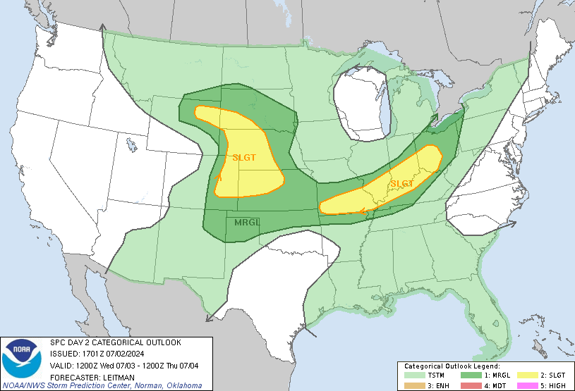
The Storm Prediction Center’s convective (severe weather) outlook (below) remains the same from this morning. It’ll be updated at 1 AM.

Travel into the red area Saturday is especially discouraged.
Sunday – Cold Front Arrives – Morning Low 57 / Afternoon High 64
Rain will clear out by the time we wake up. Expect clouds to supervise the slow process of colder air very slowly moving in. We’ll feel it Monday & Tuesday:

Christmas Day looks mostly sunny. We’ll start in the low 20s, then rally to the upper 40s by the afternoon.
More information can be found on Twitter @NashSevereWx. We’ll update this blog in the morning and after a 1 p.m. NWS conference call.
Categories: Forecast Blogs (Legacy)
