
451 PM Update
Latest ETA according to the HRRR is 10 PM:

3:30 PM Update

There’s not a lot of certainty with this ETA. We could see the storms in Fairview/Bellevue and other places in Western Williamson and Western Davidson Counties by 8 PM or after, crossing I-65 between 9 PM and midnight.
HRRR thinks we’ll see the squall line arrive around 10-11 PM:

Further, the 322 PM Forecast Discussion from our NWS noted:
“This might be a slightly diminished risk for tornado formation across the mid state tonight . . . but a damaging straight line wind event is still expected . . . and straight line winds can do as much damage as most tornadoes do. Please exercise caution on area roadways travel tonight and monitor the updated latest forecasts to keep current on this developing potential severe weather situation.”
2 PM Update
Our Wind Advisory remains in effect. Wind speeds (40+ mph) will increase through the day.
A squall line is approaching and will be the “main event” for severe weather tonight. More on that below.
Current Radar

Moderate Risk
The Storm Prediction Center maintained our “Moderate Risk” of severe weather through tonight/overnight.
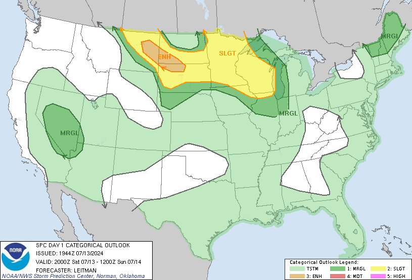
NWS: “A moderate risk means the expected storm system is atypical. This is an above-average intensity severe weather event.”
Late Afternoon / Early Evening
Before the “main event,” supercells forming ahead of the main line (and therefore arriving before the main line) are possible late this afternoon or early tonight.
These supercells could be tornado-producers; however, the odds of us getting one are rather small. Supercells are more likely in SW Middle TN. This is only a small concern for us in Davidson & Williamson Counties.
Tonight
A squall line with damaging winds will develop and arrive tonight.

The ETA from our NWS is now 8 PM tonight to 2 AM Sunday.
Tornadoes are a concern, but they’re not the main concern with this line.
The main concern will be damaging winds in excess of 58+ mph, with gusts to 74+ mph possible.
The late arrival of the storms is certainly a good thing, but there will be plenty of severe weather dynamics in place when the storms arrive. Also, sunshine has been peeking through a few of the clouds this afternoon, which is never a good thing in advance of a powerful storm system.
Tornado. Not much has changed with the 2 PM SPC update.
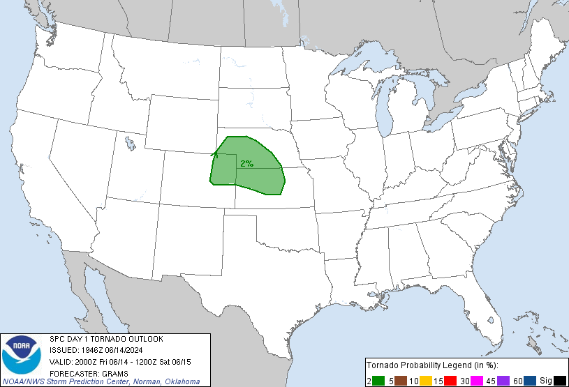
This means there is a 10% probability of a tornado happening within 25 miles of you.
Damaging Winds. Again, this is the main concern with the main event squall line tonight:
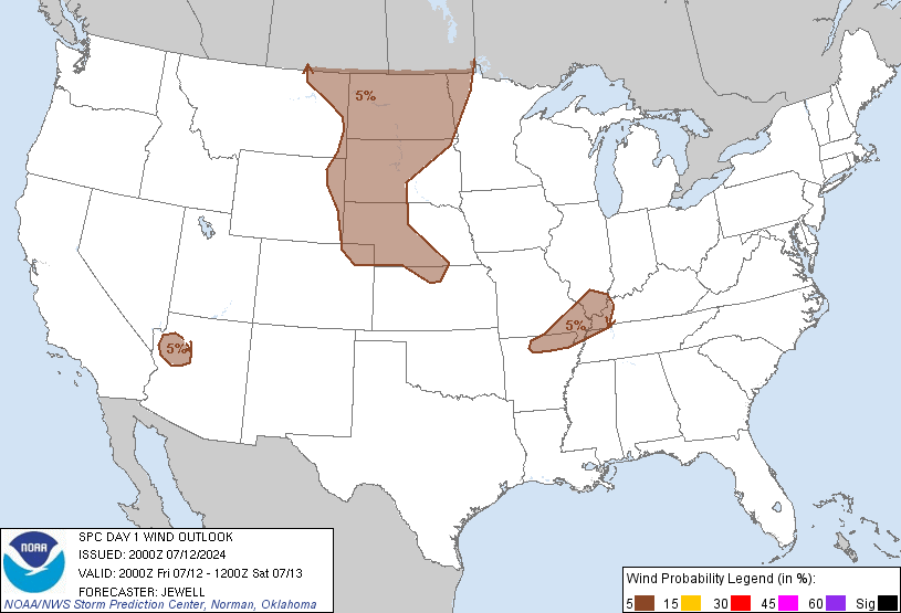
This means the probability of damaging thunderstorm winds or wind gusts of 58+ mph within 25 miles of you is 45%. We’re also in the Hatched/Shaded Area, which means there is a 10%+ probability of wind gusts 65 knots (74 mph) or greater within 25 miles of you.
Flooding. Localized flooding is possible where storms persist, but there are no widespread flooding concerns.
Good News
This is mainly a severe wind threat.
No hail is expected.
Tornadoes are possible, but this is not a high-end tornado threat. We’re also on the edge of the 10% tornado probability.
There is a “bust potential” for this event if the higher instabilities do not arrive here tonight. At best, we’ll just get a lot of wind and a lot of rain around midnight (that would mean a “bust”). At worst, we’ll see 75+ mph winds and a few tornadoes.
Travel. As we wrote earlier this morning . . . We cover only Davidson and Williamson Counties. Always consult other reliable weather sources, especially when traveling elsewhere. Travel West and Southwest of our area is increasingly discouraged the later in the day we go. Waiting until Sunday is the best idea.
Those with Christmas parties and Preds tickets tonight — I’m not telling you to go or not go. I think your plans should have you home before 11 PM (no OT tonight please, Preds). Also, while you’re out, you need to closely monitor the weather all afternoon and evening in case the ETA of the main line is pushed forward or a few discrete supercells form ahead of the main squall line.
You don’t want to be on the road when the squall line arrives. Rain will be intense, and the winds will make driving very, very difficult.
Freaking Out? Don’t. Just be prepared. We’re all going to get a lot of wind and rain tonight. There’s a chance of a tornado, but it’s by no means a certainty. Keep in mind the above probabilities. We’re stressing this event because the best forecasters in the world are stressing it, and your safety and well-being is worth taking a few precautions, having a plan in case there is a warning, and keeping an eye on things today and tonight.
Few Twitter Reminders
1. Safely report all wind damage, funnel clouds, wall clouds, etc., to the NWS by tweeting your report with the hashtag #tSpotter. During severe weather, I can’t thank you individually for your report – so I’m thanking you now. Each report is a community service.
2. Please send us all your questions. Your questions help us know what information gaps we need to fill in. Even if we can’t individually reply (especially when we get very busy), we try to respond publicly. Many times, your question is answered if you scroll backwards in your time line.
3. If we are put in Twitter jail, we’ll post all updates to this web site.
4. We can only cover Davidson & Williamson Counties. We don’t have the time or resources to expand the scope of coverage without degrading the information we provide.
Additional info can be found on Twitter @NashSevereWx. Monitor multiple reliable weather sources.
Also, Will says “Hi” to everyone.
Categories: Forecast Blogs (Legacy)