Current Temp

Temps Next 48 Hours
@codeyh woke up to this today. Seemed appropriate.
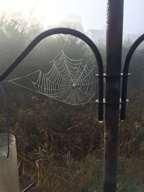
Sunday we’ll hit 80°, with only a few clouds hanging around. Please take a moment to pray for Zach Mettenberger. He has to face this guy today:

Current Temp
Temps Next 48 Hours
@codeyh woke up to this today. Seemed appropriate.
Sunday we’ll hit 80°, with only a few clouds hanging around. Please take a moment to pray for Zach Mettenberger. He has to face this guy today:
No rain is expected until Tuesday.

A significant warming trend starts today. High 75°!

Even warmer Sunday. Wake Up 52°, High 81°.

Monday, we are forecast to hit 85°, breaking the record for the warmest October 27. The record is 84° set in 1940.
The next several days look pretty nice, even a bit warm for Fall:
That’s shorts and t-shirt weather for the afternoons. In fact, we should approach, and maybe break, Nashville’s record high for Monday (84° in 1940).
Friday thru Sunday — Really Nice — Lows 40°s, Highs 70°s (maybe even 80s)

This streak

of awesome fall weather is expected to last through Tuesday.
By Wednesday, dew points will be creeping into the 60°s, and a cold front is expected to arrive. It’s not wise to speculate what that will look like for us. The weather models don’t agree. The timing may be off. It may just rain, we may see weak storms, we may see maybe strong — we don’t know right now.
Yesterday’s rain totals:
Davidson County saw between 2″ & 3.75″
Williamson County got mostly between 2″ and 2.5″, with a few locations in the western county racking up over 4″!

Well, that was close. Thankful to escape with only a few reports of 60 mph winds after seeing this at 5:15 PM:
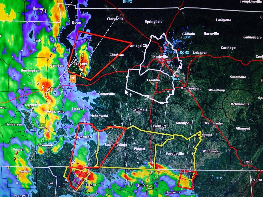
Other communities to our W and NW were not so lucky.
The Tornado Watch is set to expire at Midnight. It’ll likely formally be cancelled before then.
Current Radar Loops:


At 3:56 PM, the NWS posted this:

Keep an eye on those storms flying out of N Alabama.
Tornado Watch Until Midnight
Here is the Watch Information. Notice the Hazard Likelihood at the bottom:
Summary: Windy Monday – Severe Weather in 2 Rounds – Round 1: late afternoon/early evening Monday – Round 2: main squall line ETA 3 AM to 6 AM Tuesday morning – Damaging Winds, Torrential Rain, Tornadoes possible in both rounds.
2:42 PM – The National Weather Service issued a Special Weather Statement for both Davidson and Williamson Counties for Monday into Tuesday morning.

2:30 PM – The Storm Prediction Center put out a Mesoscale Discussion that included Middle Tennessee. It has confirmed, however, that the system has missed us to the east.
Current Temp
Current Radar Loops
Saturday – Mid 60s – Rain

Rain will be here mid-morning, and should continue off and on through most of the afternoon and evening. The HRRR model thinks there may be a break in the rain by mid afternoon. If you have outdoor activities planned, I suggest you just watch for gaps in the rain on the above radar loops.

You must be logged in to post a comment.