Current Official Hourly Observation (taken at :53 on the hour)

8:40 PM Update
Our NWS issued the following statement at 8:32 PM:
Also watching much lighter snow than we saw earlier tonight work SE down I-24. Radar at 8:29 PM:
Current Official Hourly Observation (taken at :53 on the hour)
8:40 PM Update
Our NWS issued the following statement at 8:32 PM:
Also watching much lighter snow than we saw earlier tonight work SE down I-24. Radar at 8:29 PM:
Current Official Hourly Observation:
9:38 PM NWS Forecast Discussion
9:30 PM Update
The models continue to do some

GFS only gives us a dusting through Monday at 6 AM:
At 3:05 PM, our NWS issued a Special Weather Statement titled “Anywhere from 1″ to 4″ of Snow Possible Sunday Afternoon and Evening.” The 4″ is more likely for the plateau and counties north of Davidson Co. Click here to read the statement. Much of what it says is covered below.
Latest Official Hourly Observation:
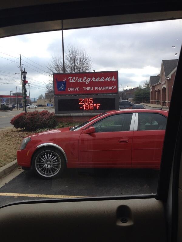
@KeelyHall tweeted this photo of a supercold spot in Brentwood today:
Tonight – Light Snow & BRRR – Midnight Temp 22
Attention snow lovers and non-lovers alike. A special weather statement has been issued by our NWS.
Latest Official Hourly Observation:
@KeelyHall tweeted this photo of a supercold spot in Brentwood today:
Tonight – Light Snow & BRRR – Midnight Temp 22
Attention snow lovers and non-lovers alike. A special weather statement has been issued by our NWS.
