
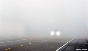
Fog possible tonight into Thursday morning, low beams might get some work in.
We’ll get by with a dry and warm Thursday. High temperatures get into the upper 60s.
Friday morning our rain chances return.

Fog possible tonight into Thursday morning, low beams might get some work in.
We’ll get by with a dry and warm Thursday. High temperatures get into the upper 60s.
Friday morning our rain chances return.
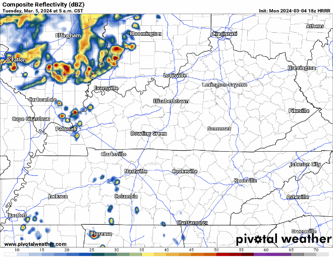
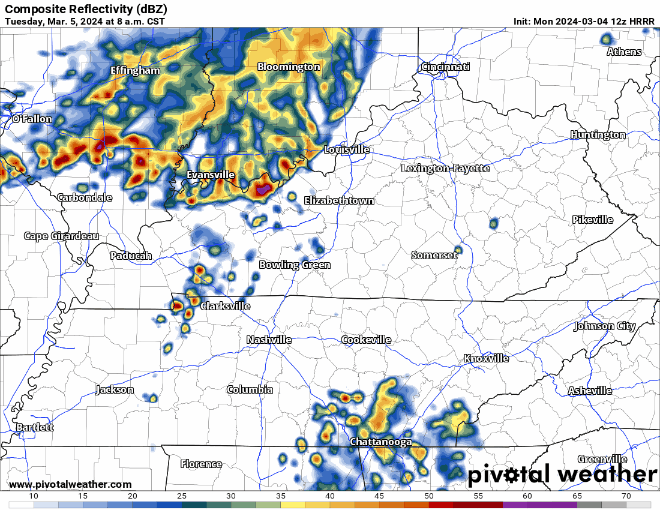
Fog likely late – overnight into Thu morning. Temp and dewpoint should 🤝🏽 around 49°, light winds.
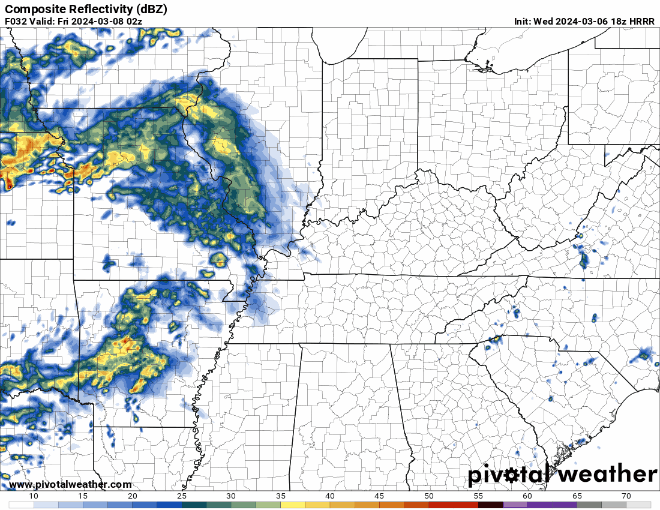
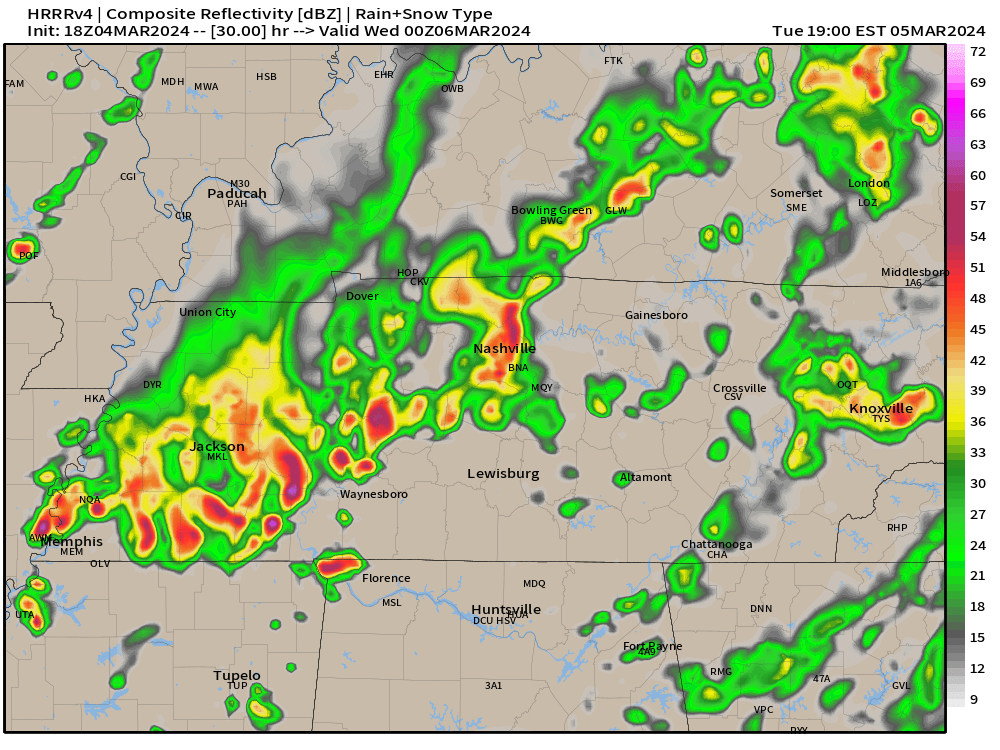
Rain returns light and off/on Friday morning. See HRRR below thru lunch Friday. Then Friday night and Saturday morning we expect another rainout-quality event. Another 0.75″ to 1″ by Saturday lunch. No severe forecast.
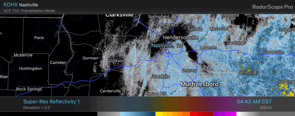
Rain moving out. Mist and drizzle for the morning commute. Radar at 5:54am.
More rain expected overnight. No severe worries. We good, fam. 🛌.
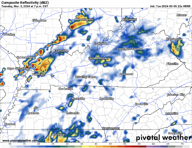
Some more rain tonight and early Wednesday morning.
Rain jacket or umbrella may be useful for your AM commute to school/work, but don’t think you’ll need it for the way home. A couple showers can’t be ruled out during the day tomorrow, but they’d be no big deal.
Rain off and on today and tonight. HRRR backed off on lightningstorm threat tonight. No severe weather or flood concerns.
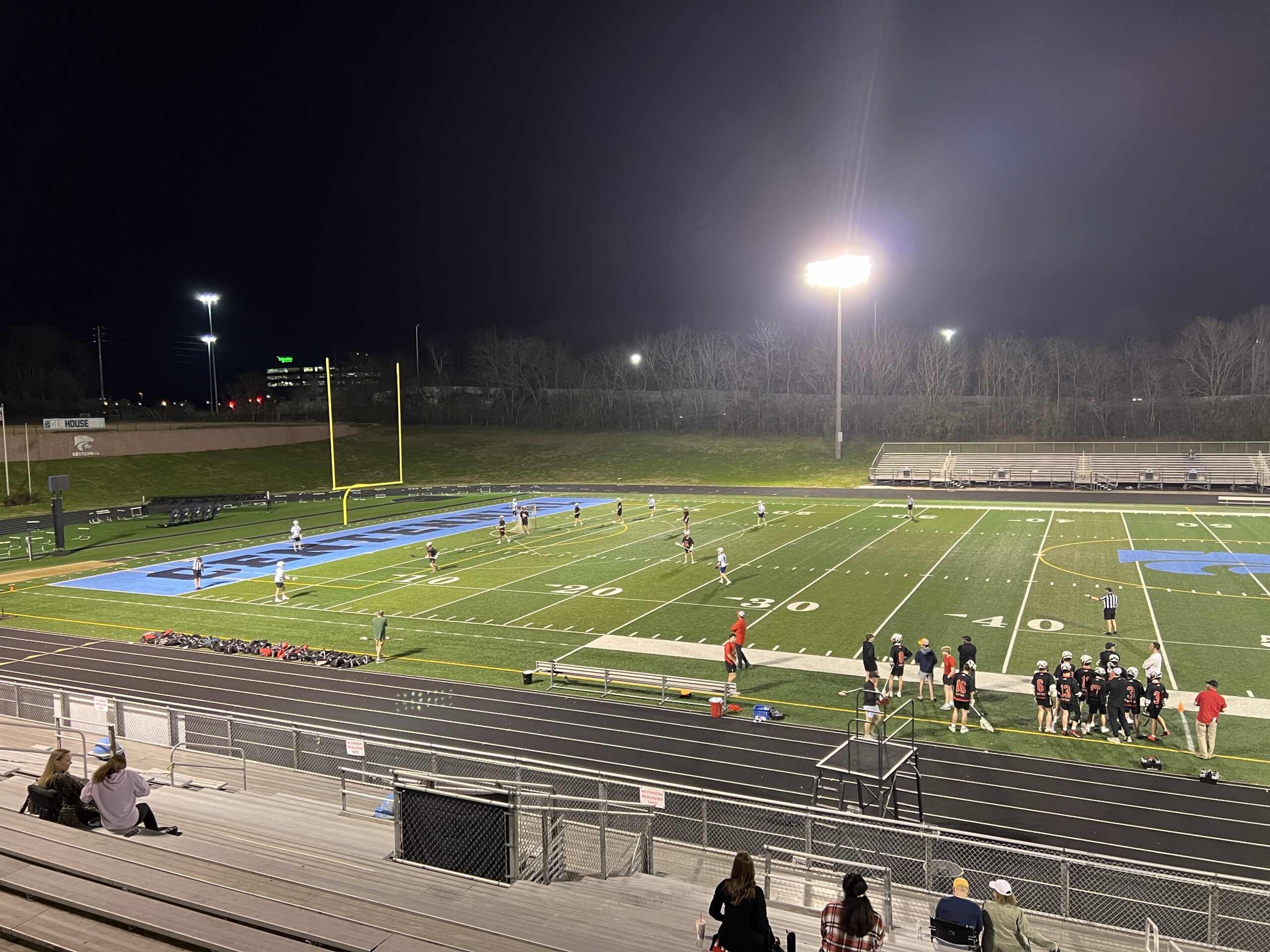
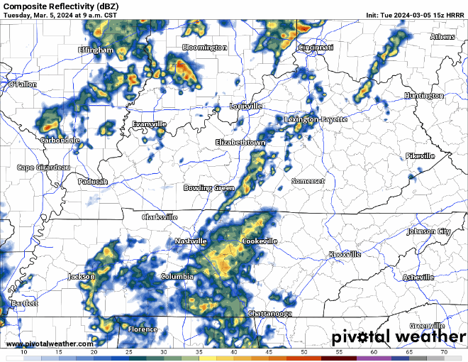
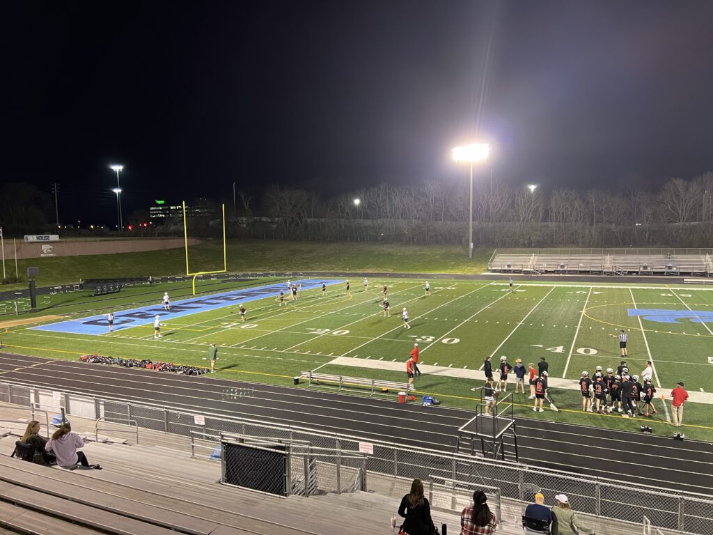
Lacrosse, pickleball (I need a partner), kite flying won’t be possible this time tomorrow night if the HRRR model is correct. ⚡️🌧️
Majority of us have been able to stay dry today, and likely will remain dry thru the remainder of the day.
The same cannot be said for Tuesday, as showers are storms look likely throughout the day.
(Heads up: this gif file size is fairly large and may take a while to load)
Rainouts, lightning possible Tue night. Iso shower possible Tue AM. Main rain/storm event late afternoon-evening. No severe worries atm. ETAs via HRRR model, subject to change.
Avg total rainfall 0.5″ to 0.75″ well below flood concern levels.
You must be logged in to post a comment.