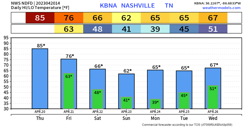
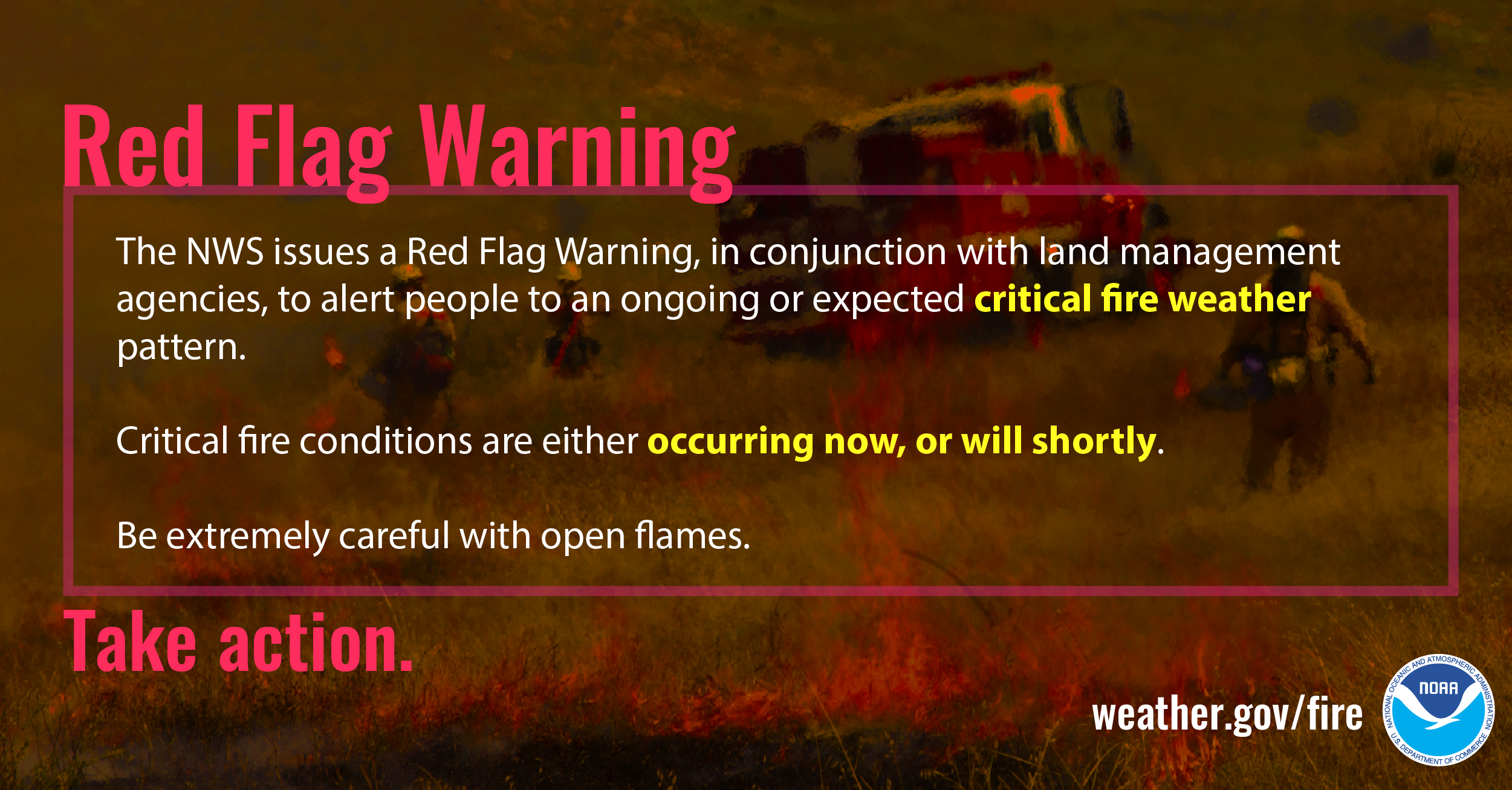
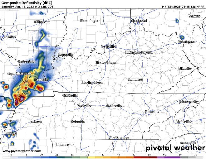
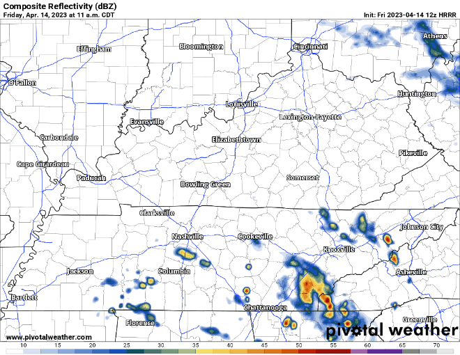
HRRR model thinks a line of rain and thunderstorms will swing out of KY Tuesday (tomorrow) afternoon but fizzle before they arrive here.
Then — right around sundown Tuesday — it thinks storms redevelop and roll off and on until wee hours Weds.
Storms and showers east and south today, I think we stay dry. Humidity also dropping, ending the streak of sweat, in hopelessness and rage, 70° dewpoints delivering oppressive humidity. Dewps today “only” sticky/uncomfortable, mid to upper 60°s, yay? It’s not football weather but at least it snapped a 120 hour 70°+ dewpoint streakdepicted in blue below, a message straight to your soul:
Most of us have struck luck with the Wattery the past two days, bailing us out from the heat index getting to excessive territory. We just need one more day of that.
If not, temps will surge up into the upper 90’s, dewpoints in the mid 70’s = heat index pushing 110°, reason for the Excessive Heat Warning for today.
Since 1986, NWS Nashville has only ever issued an Excessive Heat Warning four times. Once in 2010, twice in 2011, and now again today. The only previous one that included Davidson and Williamson counties was in 2010, also on a Wednesday. Point being, this degree of heat and humidity is quite rare, and is dangerous.
Besides probably sweating a lot, the 4th looks pretty good. Temps in the mid/upper 90’s, paired with dewpoints hovering around the 70° mark, will lead to heat index in the 100-105° range, which is cooler than the rest of this week will be…I might just stay inside and watch Joey Chestnut eat more hot dogs in 10 minutes than I ever have.