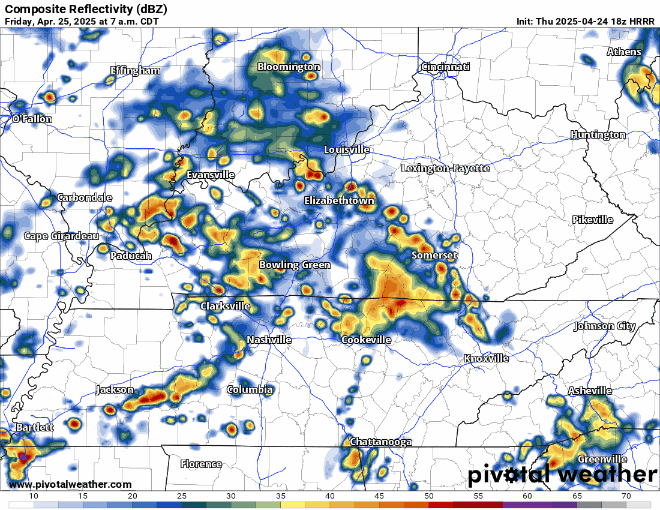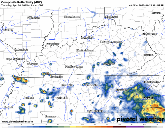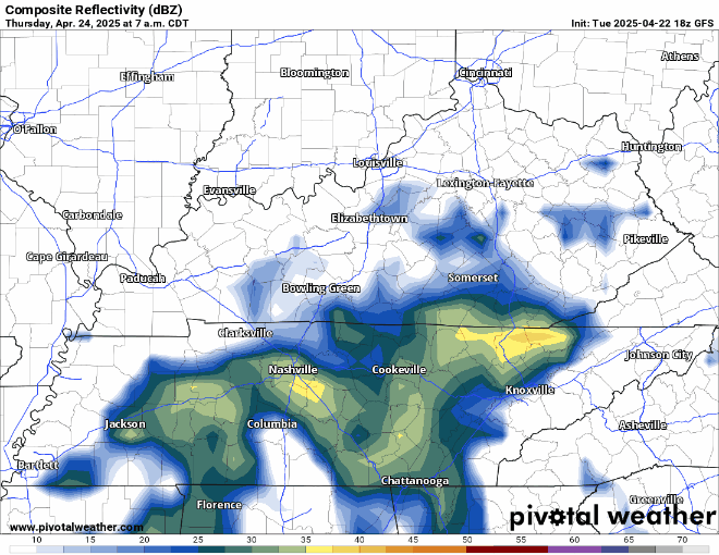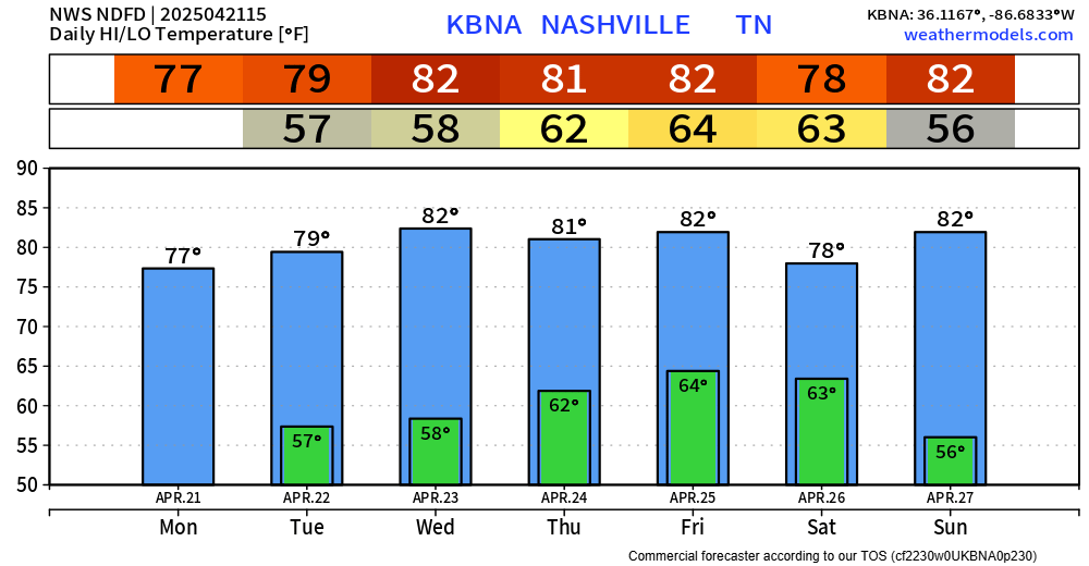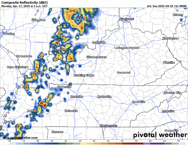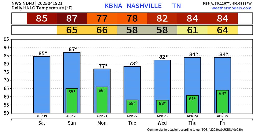

While you probably won’t need a light jacket, you probably could use a rain jacket today.
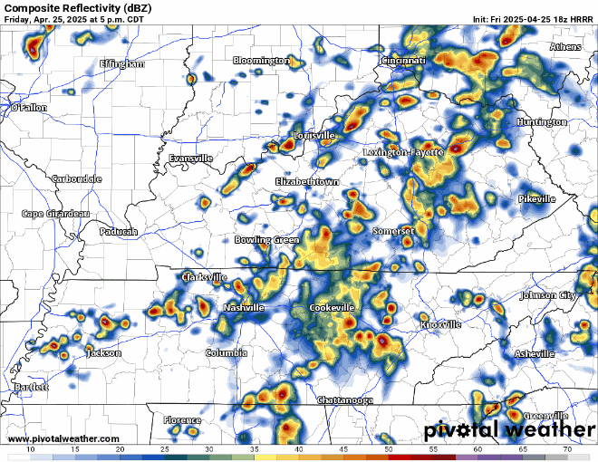
Scattered showers/storms will continue to move thru our area until tonight. Impossible to know exactly when and where, it’s more a Wattery type deal. Rain gear nearby will be helpful. HRRR tries its best below: