Current Radar
Refreeze Tonight?
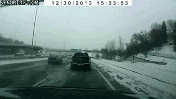
Temps have hovered at and just above freezing this afternoon. After dark, we should be at or below freezing. Beware of black ice, especially on bridges and overpasses.
By midnight, we should be at 30°, where we will hold for most of the morning before dropping to 28° just before sunrise.