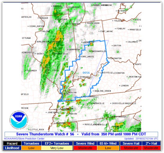
No Rain Until Wed Night/Thursday

Current Radar

Another Sunny & Dry Monday, Early 52° High 83°

It’s not going to rain. Very low humidity.

Tuesday — Low Humidity, No Rain, Early 54° High 83°

High pressure is in charge. It’s the pattern.

Allergies Remain High

I’ve been sneezing.

Rain Chances Return Mid/Late Week

High pressure will slowly break down and reintroduce rain chances. read more

High & Dry

Current Radar

Dry & Sunny Sunday, High 80°

The chance of rain is zero.

Well, actually, we win.

Dewpoints barely breaking 40° sounds more like September than April.

Why? The Omega Block is in charge. Its central feature, a bossing high pressure. read more

Windy Tonight. More Rain Monday Night.

Current Radar

Wind Advisory Until Sunday at Midnight

South winds are hollering. Sustained winds 15-25 MPH, gusting to 35 MPH. Isolated areas may see gusts to 40 MPH.

More Rain Monday (Early 55° High 73°)

We’ll be dry in the morning, watching a surface front stretched north of the Ohio River. read more

Rainy & Windy Sunday. Heavy Rainy/Stormy Monday Night.

Current Radar

Why’d It Have To Rain Today?

Because Spring.

The HRRR model thinks this will be a light rain, morning event.

Notice rain is possible later tonight, but the HRRR model thinks most of that will escape north of us.

Another Windy Day

South winds will increase late Sunday morning, and remain strong into the evening. Gusts around 30 MPH, maybe even higher, will be present much of Sunday afternoon. read more

Dry Today. Not Dry This Week.

Current Radar

Monday – Clouding Up, Slight Shower Chance – Early 48° High 73°

We start off nice, but a cold front will bring cloud cover and a slight chance of showers after noon. The rain chance looks very low. The GFS model shows no rain. The pro-rain NAM4 model, below, shows very little: read more

Nice Weekend Alert!

Current Radar

Well, That Was Close

Too much cloud cover this morning, insufficient dew points, and unidirectional wind profiles are among the reasons we didn’t gett tornadic storms today. They were very close. That storm to our SW, then S, was rotating pretty well (it may have dropped a tornado, NWS will confirm later), although it did lose its oomph when it got closer to I-65. read more

New Mesoscale Discussion - Watch Possible Soon

Current Radar

Now: Strong/Severe Storms Approaching – As of 3PM 75°

The Storm Prediction Center has issued a “mesoscale discussion” that borders Davidson and Williamson Counties. Here’s a snippet:

Capture

Capture1

In short, our area will likely be placed under some sort of severe weather watch very soon. Winds are close, but not quite where they need to be for a robust tornado threat. However, surface heating and dewpoints continue to rise. read more

Threat Reduced, But Still There. Hail, Winds Biggest Threat Later.

Current Radar

Today: PM Severe Weather Possible – High 74°

We’ve been covered by clouds this morning, which has prevented storm-making destabilization.

The winds, while strong, are largely unidirectional, which does not support large, tilted updrafts necessary for terrible weather. read more

Thursday’s Severe Weather Threat Growing, Closer

Current Radar

Updates reflecting new information from this afternoon are written below in blue.

Today: Clouds Rolling In, Windy – High 75°

We’ve already begun to see the clouds moving into our area ahead of the storms we will be seeing tonight into tomorrow. Even with the clouds, temps are expected to climb very quickly into the 70°s. read more

Rain, Maybe Storms, Tonight....Then Cool & Dry

Current Radar

Rain, Maybe Storms, Tonight

A few hailers in W Tennessee were ongoing late this afternoon, streaking NNE into Kentucky, where a Severe Thunderstorm Watch is currently in effect.

Although we are excluded from the Watch, some discrete storm cells were sitting to our SW, and should move into our area tonight in advance of an approaching cold front. read more