
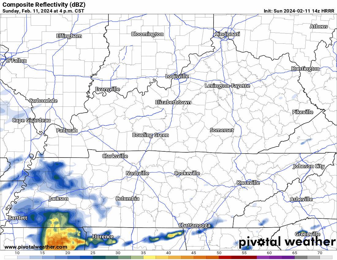
Rain misses us south during the Buper Sowl (I don’t think you’re allowed to say it unless you’re an official sponsor which we are /checks notes/ not). HRRR model below.

Monday
Surface low – the 997 red R below – passes overhead. Off/On morning and afternoon rain. No flood concern.
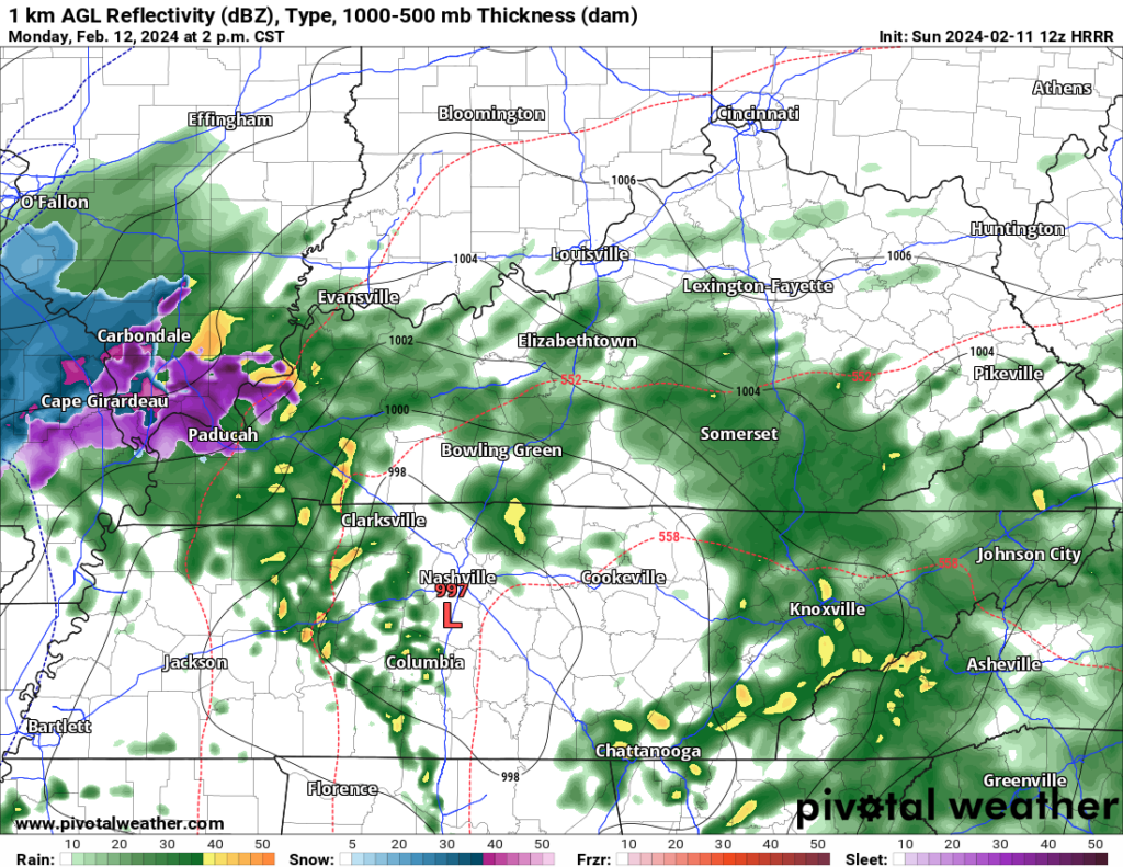
Thunderstorms may result. Strong/Severe unlikely. SPC outlooked severe weather thru AL, GA, SC, and the FL panhandle. Not for us.
Monday Night
Big red L moves into eastern KY. Colder temps arrive.
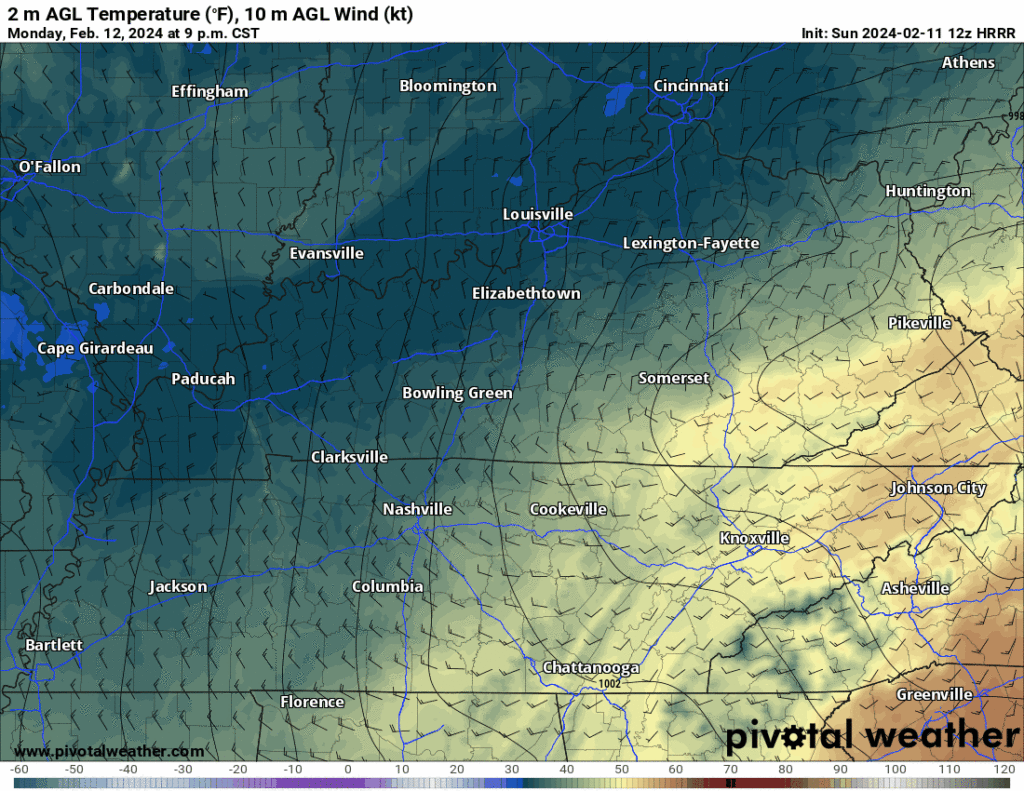
Monday night precip may be snow.
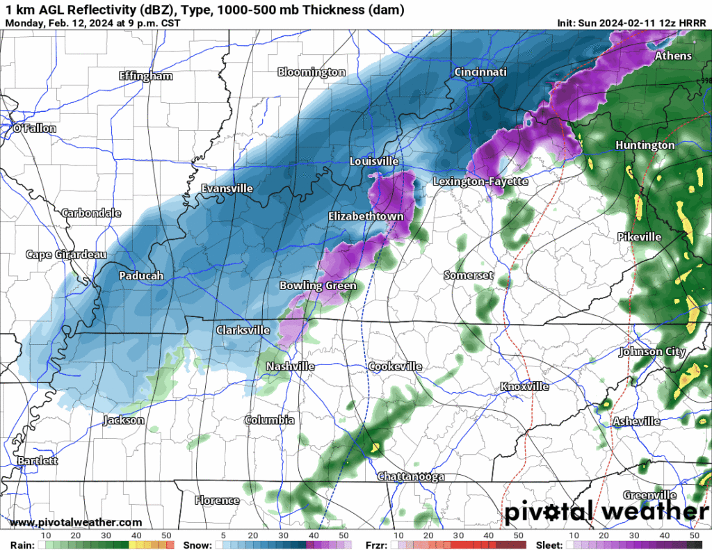
We expect no impacts.
- Not enough moisture.
- Moves too fast.
- Ground too warm to hold ice/snow.
- Rain vs Snow remains questionable.
- Any flakes splat/melt.
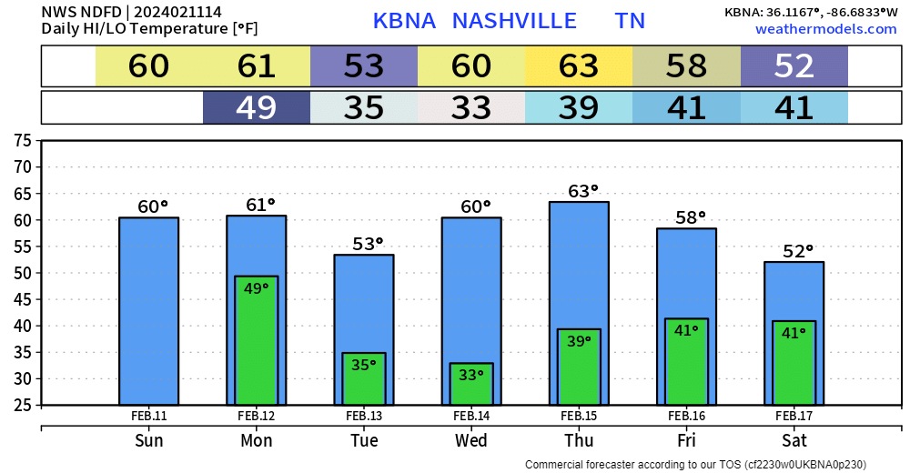
Cooler Mornings, Mild Mid Feb
Snow SZN Lives
It’s not over. Euro EPS model doesn’t rule snow out in late Feb.
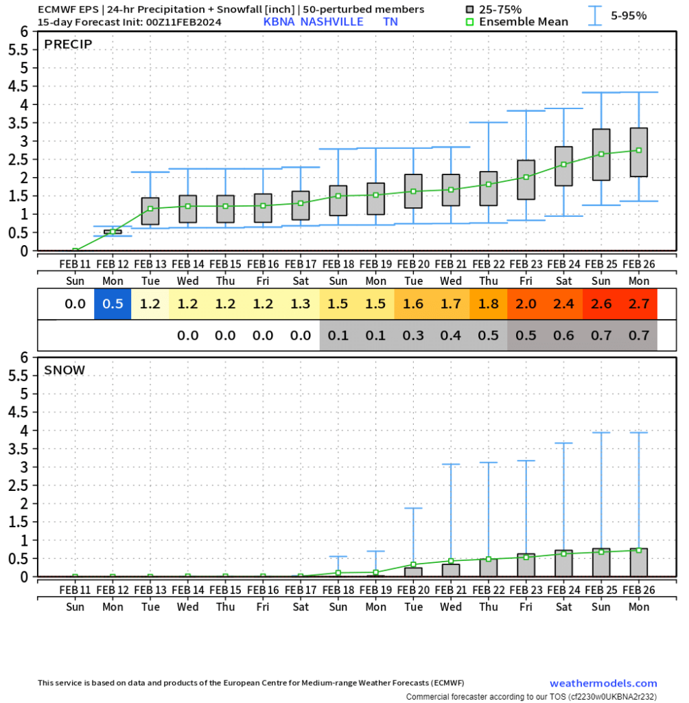
Some of our biggest snows happen in March.
Middle TN: where severe and snow SZNs overlap.
ATTN Weather Nerds
Free. Family friendly. We’ll be there. Don’t let that stop you.

Categories: Featured Blog