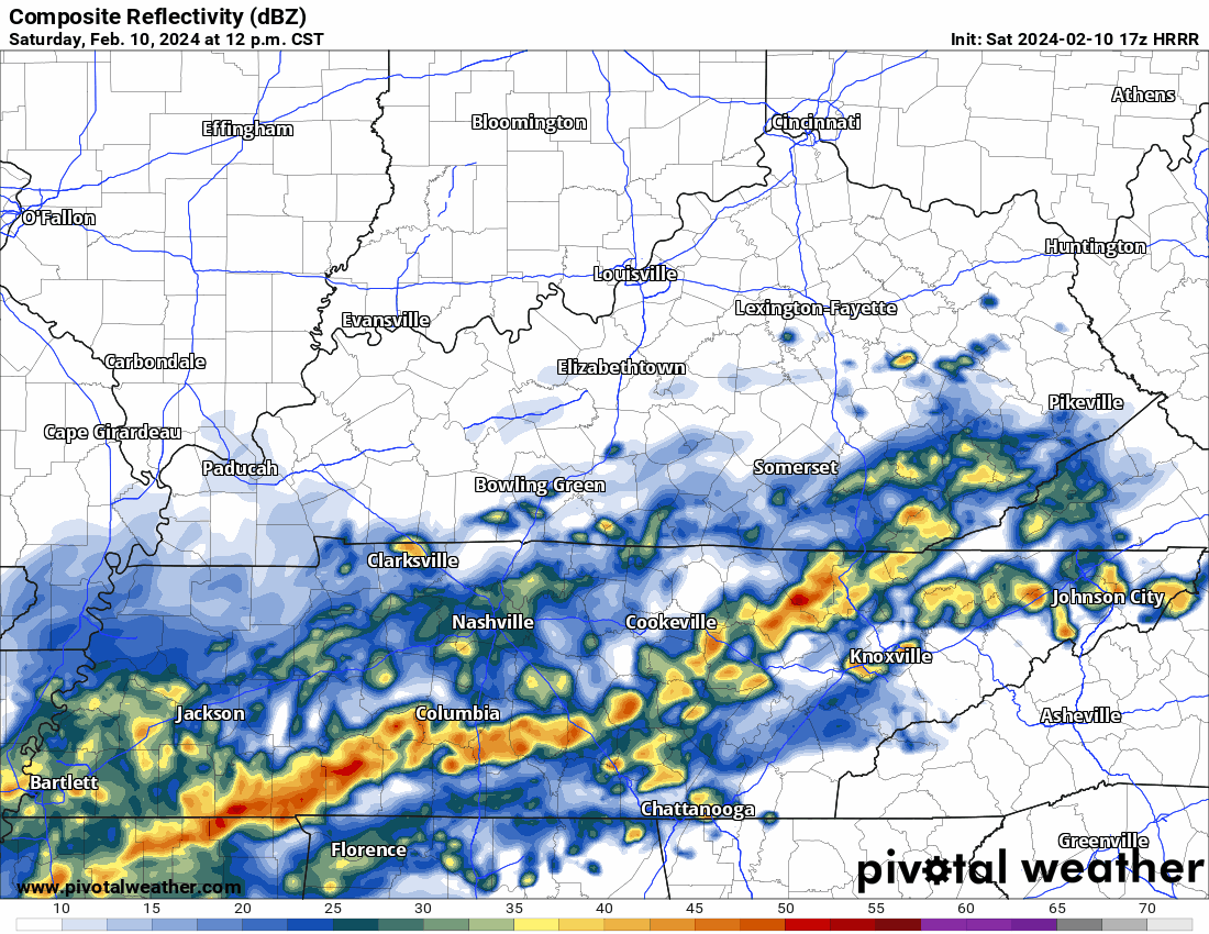
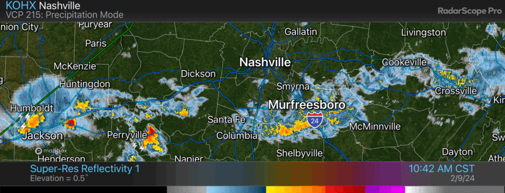
HRRR model keeps rain coming through 2 AM – 3 AM Sunday. Few thunderstorms possible. Mostly rain tho. No severe concerns.
Rain totals 0.65″ north Davidson to around 1.75″ south Williamson. No flash flooding concerns. Will reduce drought.

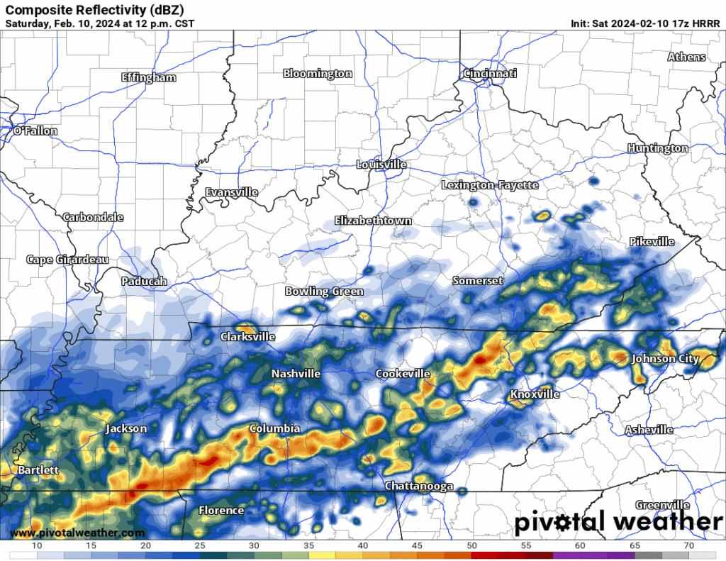
HRRR model keeps rain coming through 2 AM – 3 AM Sunday. Few thunderstorms possible. Mostly rain tho. No severe concerns.
Rain totals 0.65″ north Davidson to around 1.75″ south Williamson. No flash flooding concerns. Will reduce drought.
Lightning down in Will Co, Rainy morning. No severe concerns. 840 AM

Hey Nashville – I’m Luke Myszka, Nashville Severe Weather’s web and digital guy. The team let me post for the first time ever, and it’s kind of a surreal moment for me, ngl.
Thank you all for your words of support, and your bug reports, over the past week. This new website and upgraded digital posture was a labor of love for all of us, and it was designed with you – our community – at the forefront. Our launch had some bumps, but we’ve already made significant improvements, and there’s plenty more in the works. We promise this is only the beginning. A special thank you to our developer, Conner, who put in an inordinate amount of time and effort to get this project over the finish line. 🫡
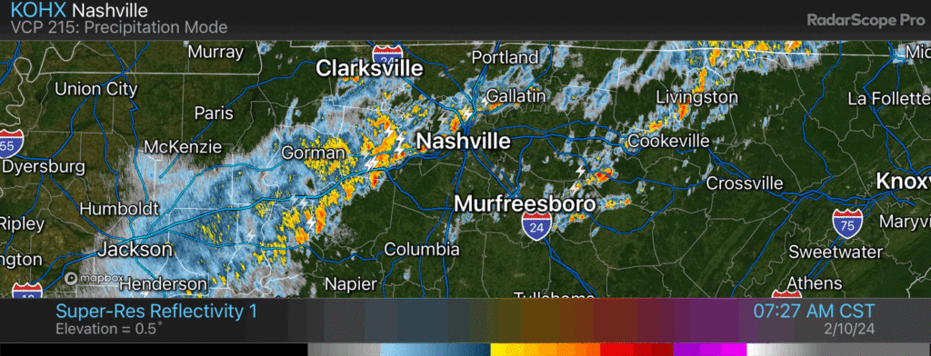
Rain, lightning advancing into Nashville. No other concerns / 514 PM

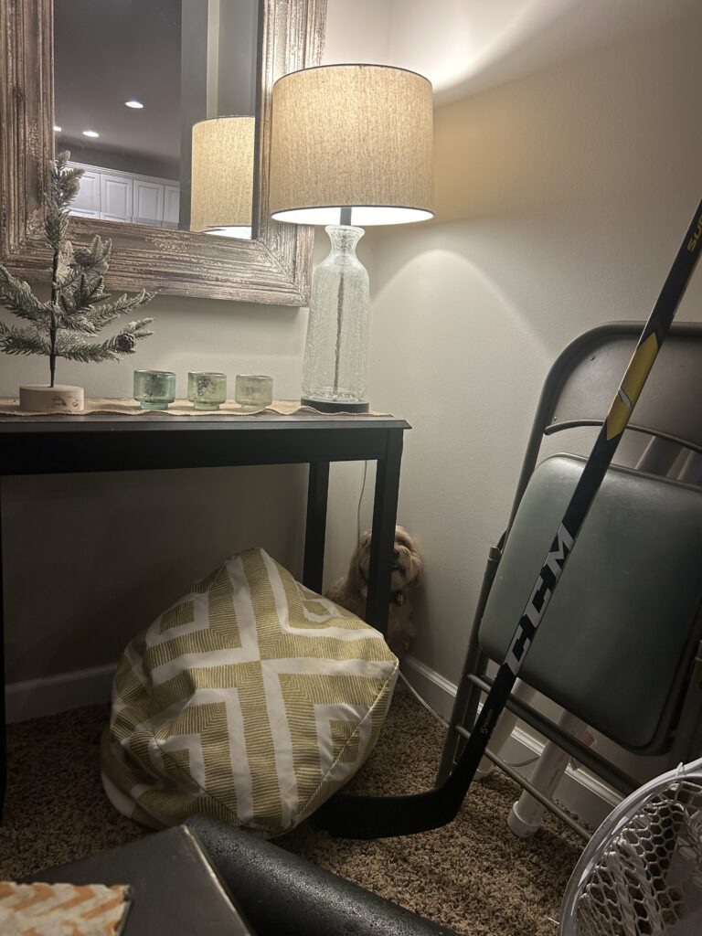
Lightning has not amused loved local dog. Bro shaking, heart rate elevated.
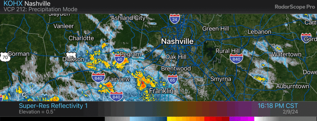
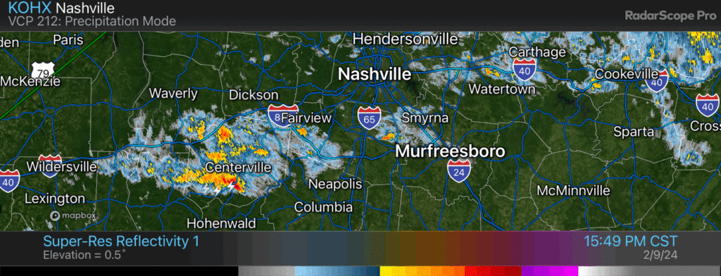
Window rattling thunderstorm pulling up to Nolensville and Cane Ridge 453 PM
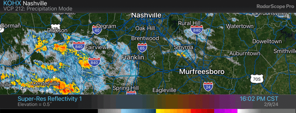
Positive lightning strikes near Franklin sure to rattle homes and upset local dogs. No other hazards. 439 PM
Another thunderstorm rumbling thru tossing lightning and downpours / 422 PM
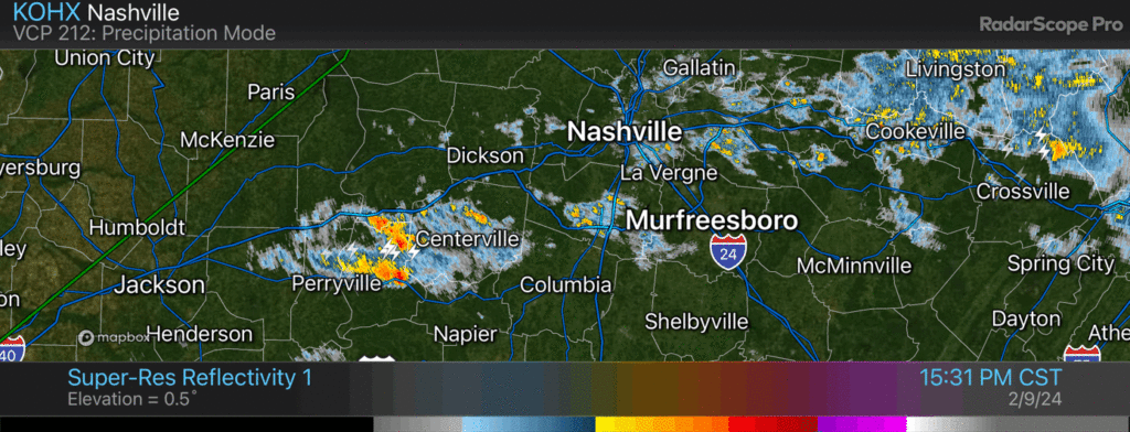
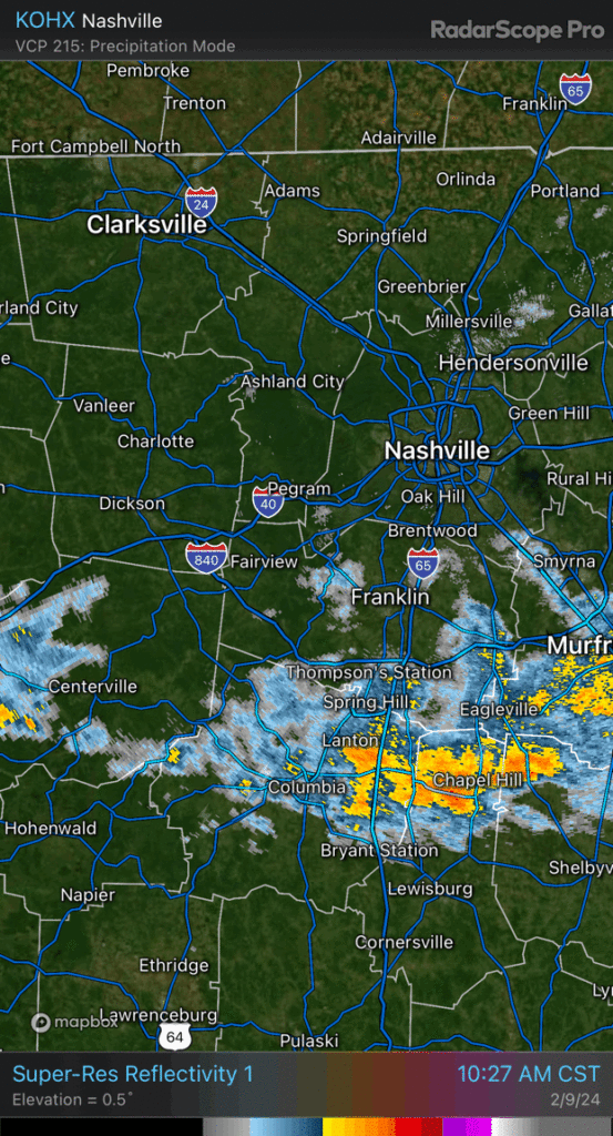
Thunderstorm working across Will Co should stay south of I-40 / 1142 AM
Lightning storm coming into Fairview and Fernvale. Bellevue/Warner Parks/Brentwood next. 11:26 am
You must be logged in to post a comment.