
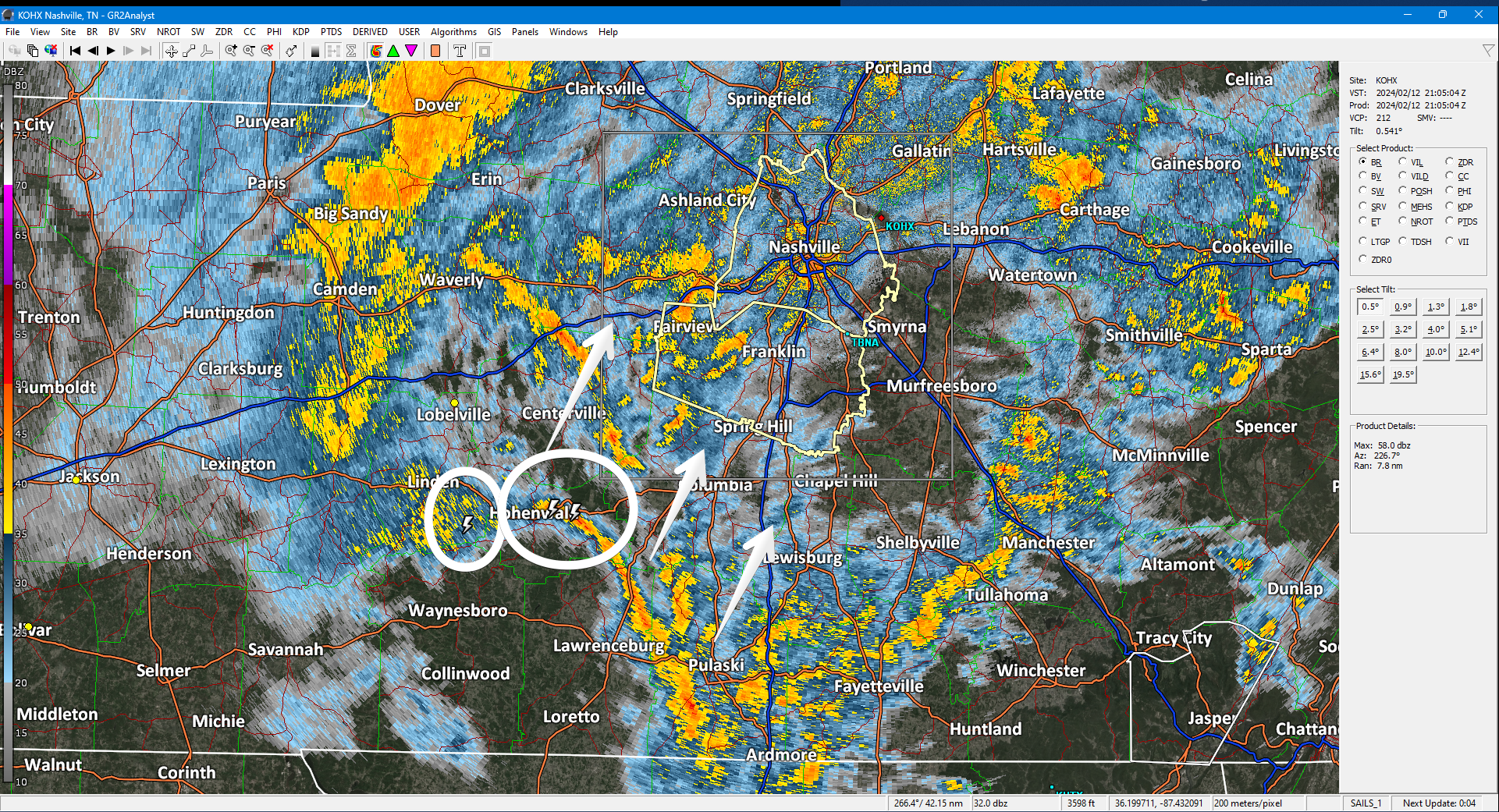
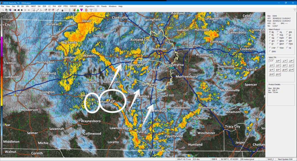
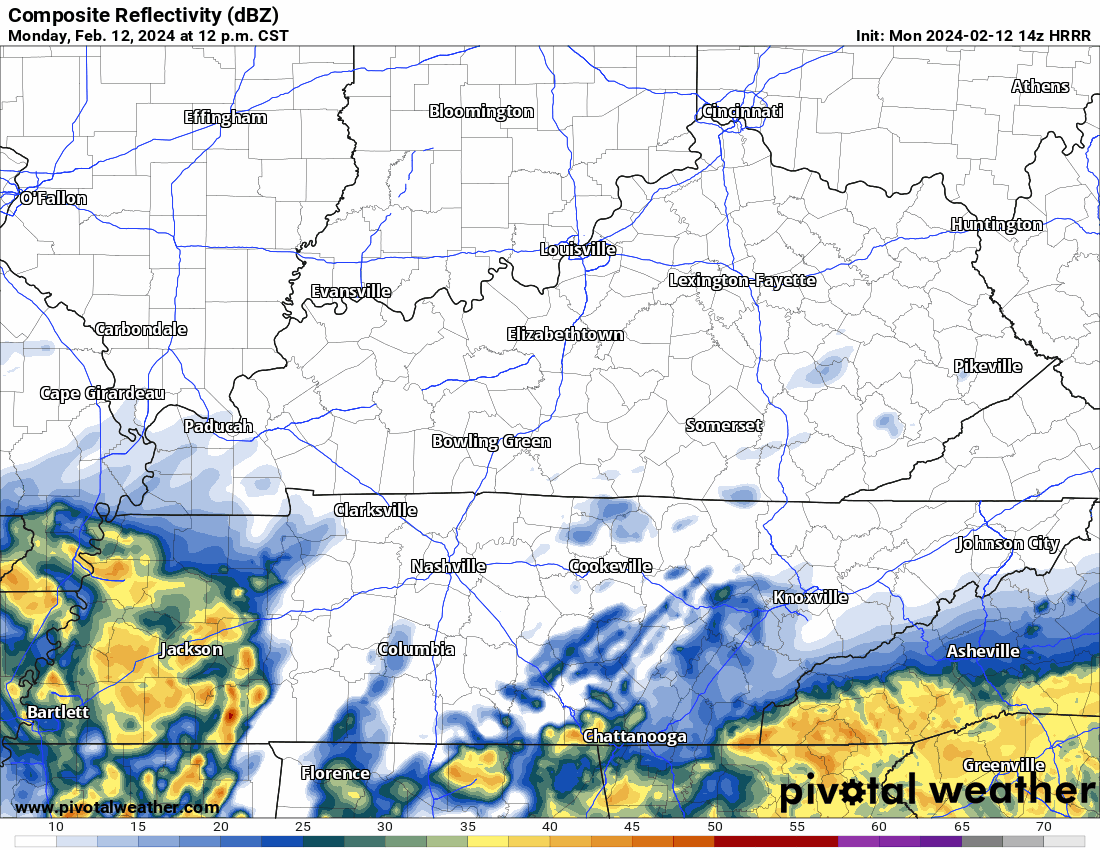
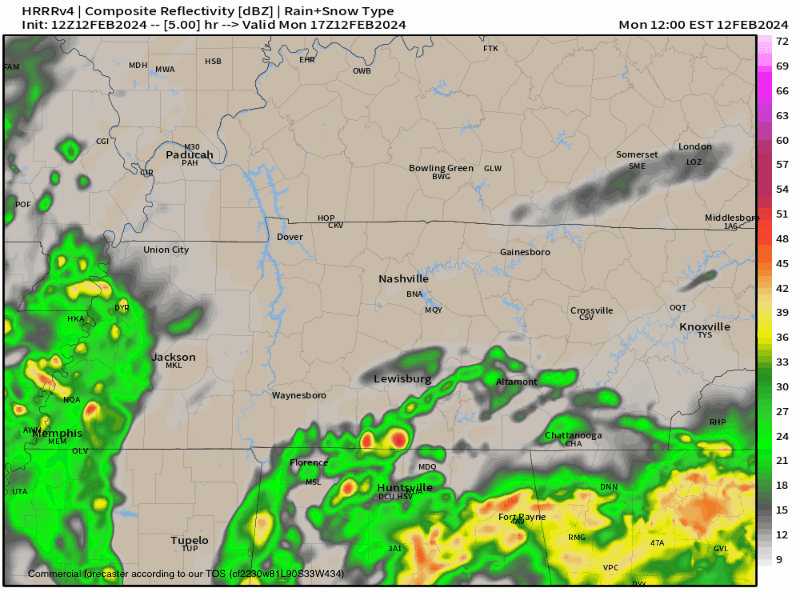
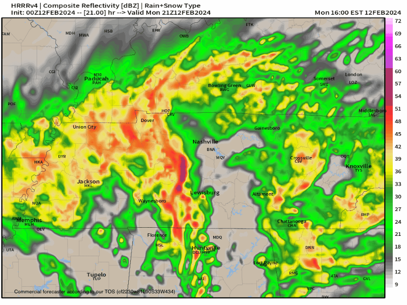
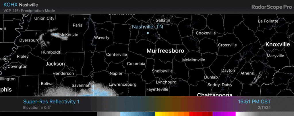
Off/On downpours. Storm center remains south. Some lightning there. Radar below at 305 PM.
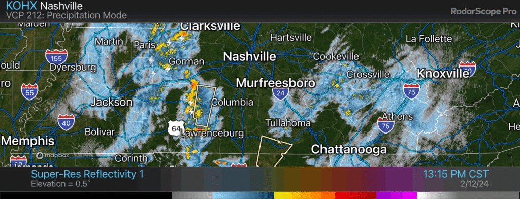
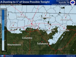
Precip will continue tonight. Mix of rain/snow. Few/No impacts locally. Higher elevations may see a dusting — those up a big hill, Fairview, SE Will Co, and other high spots. HRRR model thinks rain/snow gone by midnight.
You must be logged in to post a comment.