Current Official Hourly Observation (taken at :53 on the hour)

Current Radar Loop
![]()
Lately we’ve been giving you a lot of love for being cool, July. But, this was not a cool way to go out:

Current Official Hourly Observation (taken at :53 on the hour)

Current Radar Loop
![]()
Lately we’ve been giving you a lot of love for being cool, July. But, this was not a cool way to go out:
Current Official Temp (taken at :53 every hour)

Early this morning we hit 58°, tying the record low daily temp for July 30, set back in 1965.
Today’s temps will cruise into the mid 80°s, alongside humidity levels the NWS calls “unbelievably comfortable for July.” Temps will slide back into the low 60°s, maybe even the upper 50°s.
Current Official Hourly Observation (taken at :53 on the hour)

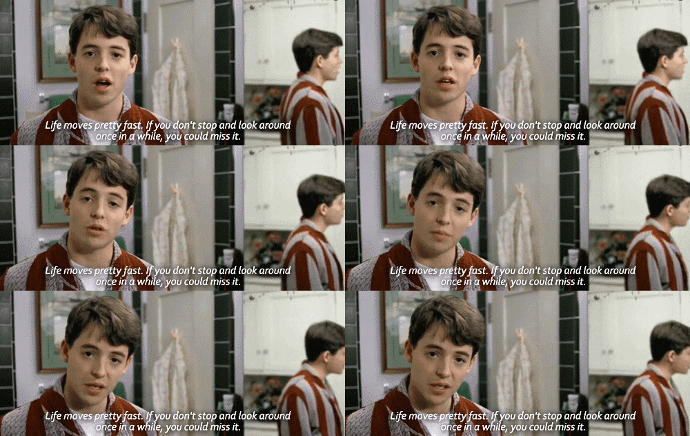
I imagine today’s weather was exactly like the weather when Ferris took his day off.

Today – Cool, Sunny & Dry – High 81
Current Official Temp (updated at :53 on the hour)

Cool, dry air is pouring into Middle TN from the N.

We may see a record low temp early Tuesday morning, 58° set in 1925.
This dry, cool pattern has staying power. We aren’t expected to make it out of the 80s all week.
Current Temp (auto updates hourly at :53 on the hour)

Lots to review.
Current Radar

Yet, there is reason to think we might see a few strong or severe storms tonight. A cold front will arrive tonight. Storms are expected to form just ahead of that front.
Current Official Hourly Observation (taken at :53 on the hour)

The Intern will be in-and-out over the next few weeks. A great time to experiment with different formats!
Those storms strafing Missouri, Illinois, and Indiana Saturday night ….
Current Official Hourly Observation (taken at :53 on the hour)

Current Radar Loop
![]()
Today – Sunny & Humid – High 93
A southwest wind at 5-10 mph will bring the return of low level moisture and bad hair days. Combine the humidity with sunny skies and the heat index (Feels like temp) will be in the mid to upper 90’s.
Current Official Hourly Observation (taken at :53 on the hour)

Current Radar Loop
![]()
Today – Pleasant & Sunny – High 87
The cold front that pushed through is now stationary to the south of Middle Tennessee. This is allowing a north wind pumping in cooler, drier air. Expect a high temperature a few degrees below normal with lower humidity.
Current Official Hourly Observation (taken at :53 on the hour)

Current Radar Loop
![]()
Today – Cool & Dry – High 83
A cooler and drier air mass originating from the Northwest has settled in over Nashville in the wake of the a cold front that pushed through last night.
Current Official Hourly Observation (taken at :53 on the hour)

Current Radar Loop
![]()
Tonight – Rain … We Think … Probably … We Suppose
Showers and storms have been popping up sporadically in Middle TN ahead of a cold front approaching from the NW.