

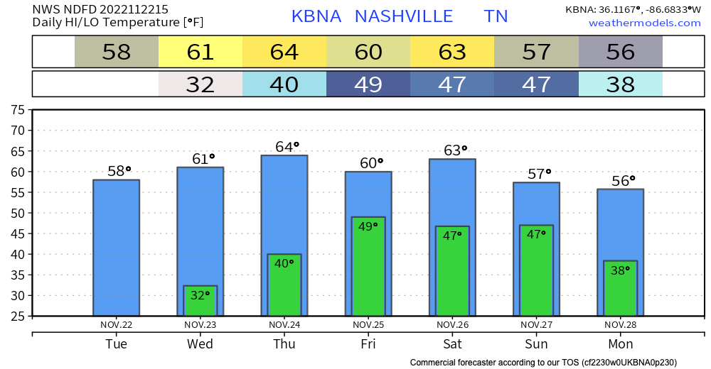
I woke up this morning to the [wonderful] smell of our turkey brine simmering on the stove. Bird’s now soaking in that goodness in the fridge. Tomorrow’s the day.

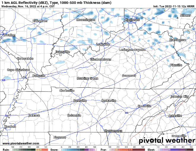
Tomorrow’s also the day when our next system brings us some very beneficial rainfall. But, can the rain hold off until you wrap up your backyard football game? Maybe.


You must be logged in to post a comment.