

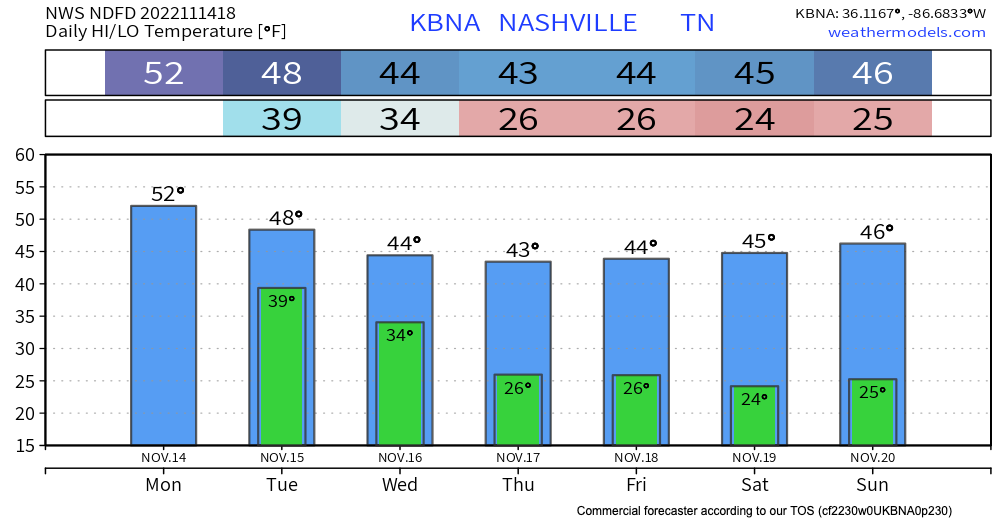
Rain amounts in last night’s sprinkler barely registered. The big winner was five hundredths of an inch in southern Davidson Co. Most much less than that. That was to be expected.
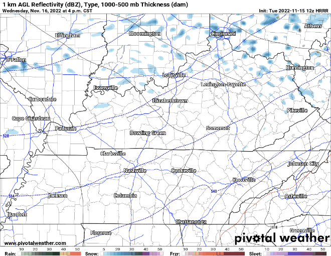
Our next rainer will bring more rainfall Saturday night. Sometime around or after dark, rain will move in from the SW. Could even get a few lightning strikes out of the heavier rain cells. HRRR illustrates what the radar could look like. Loop Saturday 3:00 pm – Sunday 6:00 am (when rain should be moving out).


You must be logged in to post a comment.