
TLDR: Downpouring during school dismissal thru PM rush hour. Tonight rain/snow mix, very little accumulation. Deets:
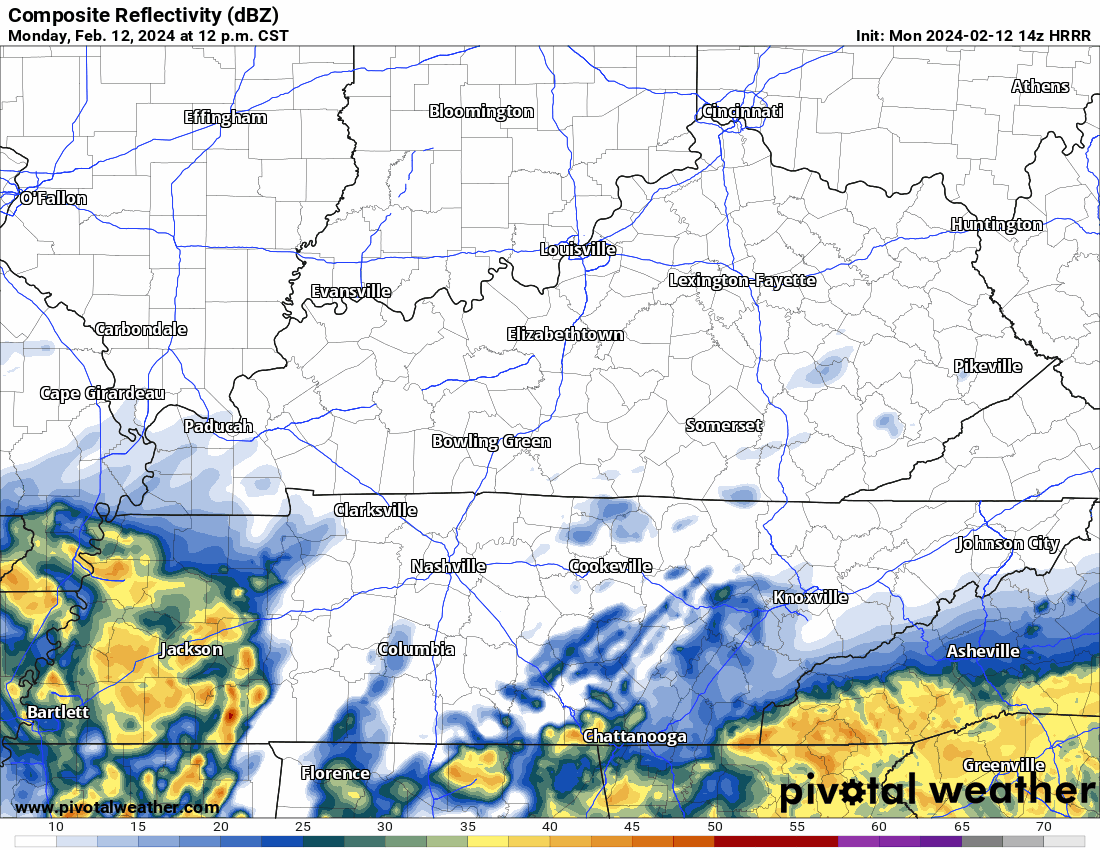
HRRR model has the rain coming through late this afternoon. Severe unlikely with expected southern track of the low pressure center.

HRRR model tonight (below) shows meager snow accumulation mostly in Will Co at higher elevation near Fairview, hills of east Will Co. Right now think flakes splat:melt in Nashville, lower elevations.
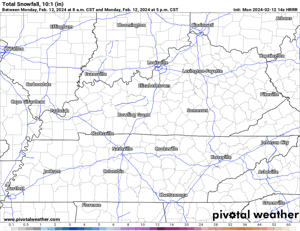
Factors limiting snow accum include:
- warm ground melting flakes
- rain not changing to snow early enough
- surface temps not quite to freezing overnight except at elevation (maybe/probably)
- precip departing after midnight
- temps warming into the mid/upper 30s during Tues AM commute
This sitch remains volatile. Expect frequent updates today, tonight.
Categories: Tweet