Current Temps and Radar

He’s getting ready …

… for Sunday.
Tonight – Rainy – High 62°
The cold front is currently, and slowly, pushing drizzly, rainy, gross showers south across I-40.

Current Temps and Radar
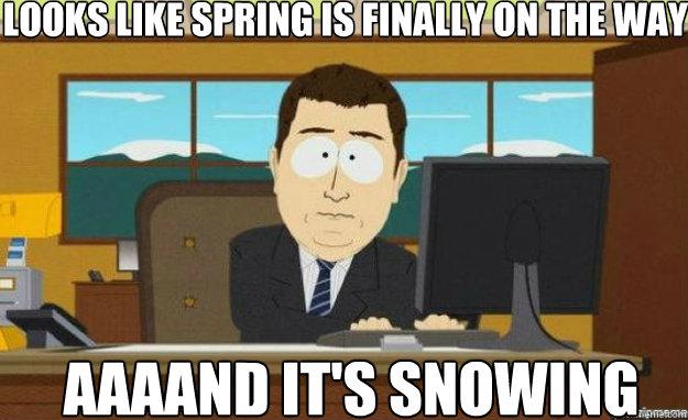
He’s getting ready …
… for Sunday.
Tonight – Rainy – High 62°
The cold front is currently, and slowly, pushing drizzly, rainy, gross showers south across I-40.
Current Temps and Radar
Below is the satellite image from just before noon today. There were no clouds in the sky. That’s snow on the ground:
It’ll be interesting to see how much snow is left to our west tomorrow. Temps ran into the 40°s over most of it.
Current Temps and Radar
#RIPSnowdome
It was pronounced this morning:
The final tally was 2.9″ of sleet/snow accumulation at BNA.

This marks the end of our friend and trusty protector against winter shenanigans. If y’all have any kind word you would like to share for our departed snowdome tweet them out using #RIPSnowdome.
Current Temps and Radar
We’re in full “nowcast” mode @NashSevereWx on Twitter. For the latest info, follow us and local TV meteorologists, and watch them on TV. Here’s the general overview:
Current Temps and Radar
A Flood Watch remains in effect for Davidson County. 1.5″ is expected to fall in Davidson County.
Expect a little bit less than that in Williamson County.
Rain will continue through the day Wednesday. Meanwhile, temps will start to drop, from 61° at midnight, to 54° at 6 AM, to 41° by noon.
Current Temps and Radar
Seeing too many good memes to ignore.
Thanks! @bobbimartin
The following is included in Wednesday’s forecast, in order: 61°, non severe thunderstorms, 0.5″ to 1.5″ of rain, Areal Flood Watch (Davidson Co only), freezing rain, sleet, snow, 26°.
Current Temps and Radar
Behold the lack of our usual unfunny jokes and amusing GIFs in this edition. I am not amused by this forecast.
As I write this, the sun is shining.
Approaching quickly from the west is a storm system, which will start spreading clouds, and then rain showers, across the region overnight. Rain is likely by the morning commute Tuesday, and should continue off and on until 6 PM Tuesday. By then, only 0.25″ of rain is forecast to have fallen.
Current Temps and Radar
Monday – Very Light Freezing Drizzle Possible Early – Wake Up 33°, High 45°
As overnight rain ends, freezing temps will be creeping in, possibly with fog.
NWS-Nashville thinks northern Davidson County may briefly see a little black on elevated surfaces. Because it’s been relatively warm (relative to freezing), road surfaces should be warm enough to resist ice, but elevated surfaces, bridges, overpasses, etc may not. “Please keep this in mind as you head out for the Monday morning commute,” so says NWS.
Current Temps and Radar
A roller coaster is coming…

Today – High 45, Overcast, Watching Clouds Increase
Ten degrees warmer than yesterday. Still feels chilly.
Sunday – Rain Slowly Arrives – Wake Up 36, High 49
Current Radar:
Today – Cold & Cloudy – High 31°
Wind chills will be about 10 degrees colder than the air temp today. Reason: north wind at 10 mph.

Warmer Weekend
Check out the temps.
You must be logged in to post a comment.