
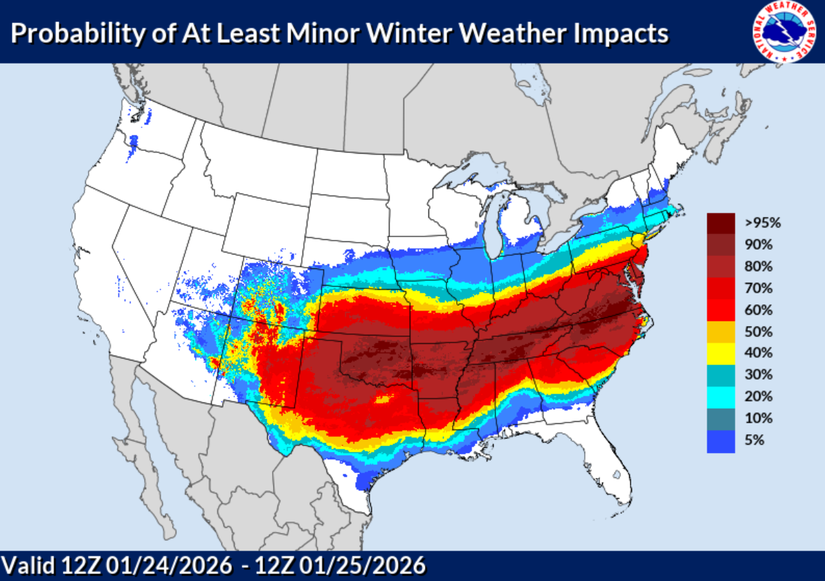
What We Know:
- Confidence is increasing that we see impactful winter weather this weekend
- Models have been quite consistent on thinking that we could see impressive snow totals
- Travel will likely be impacted across the region this weekend
What We Don’t Know:
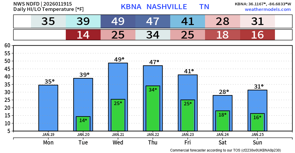
- How much it will snow in your backyard
- What time it begins in your backyard
- If school will get canceled
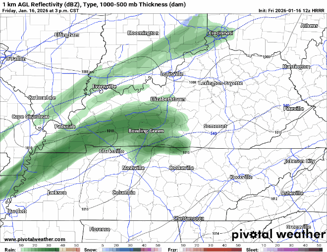
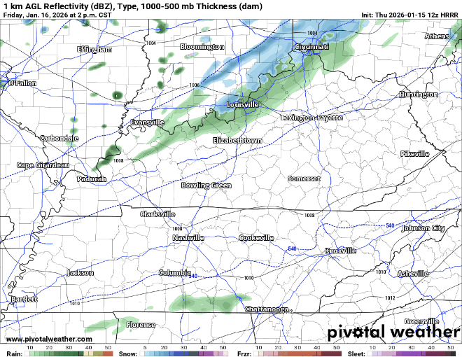
This is all the latest information – and can (and will) change. Predicting winter weather around here is hard, especially still ~100 hours out. There is still a good amount of uncertainty with this. Stay connected for the latest info!


You must be logged in to post a comment.