
A rainy pattern begins today as warm, moist air moves in. Temps near 60º. Scattered showers are drifting around, but nothing substantial will fall today. Over the next few day significant rain will fall. Let’s get into it.
For the next 24 hours we’ll see more light rain today and heavier rain and possible a thunderstorm. Here’s the HRRR. Time stamp in the upper left. Greatest chance for thunder will be overnight and wee hours of Saturday morning. No severe concerns.
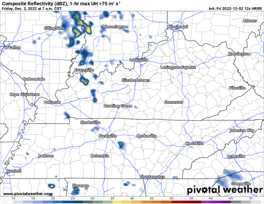
What about my ________ on Saturday? Well as you can see above, the rain mostly moves out on the HRRR by 10-11 am. Ground will be wet, and we’ll almost certainly have some low clouds and residual mist before noon. Sun might be visible by 2-3 in the afternoon.
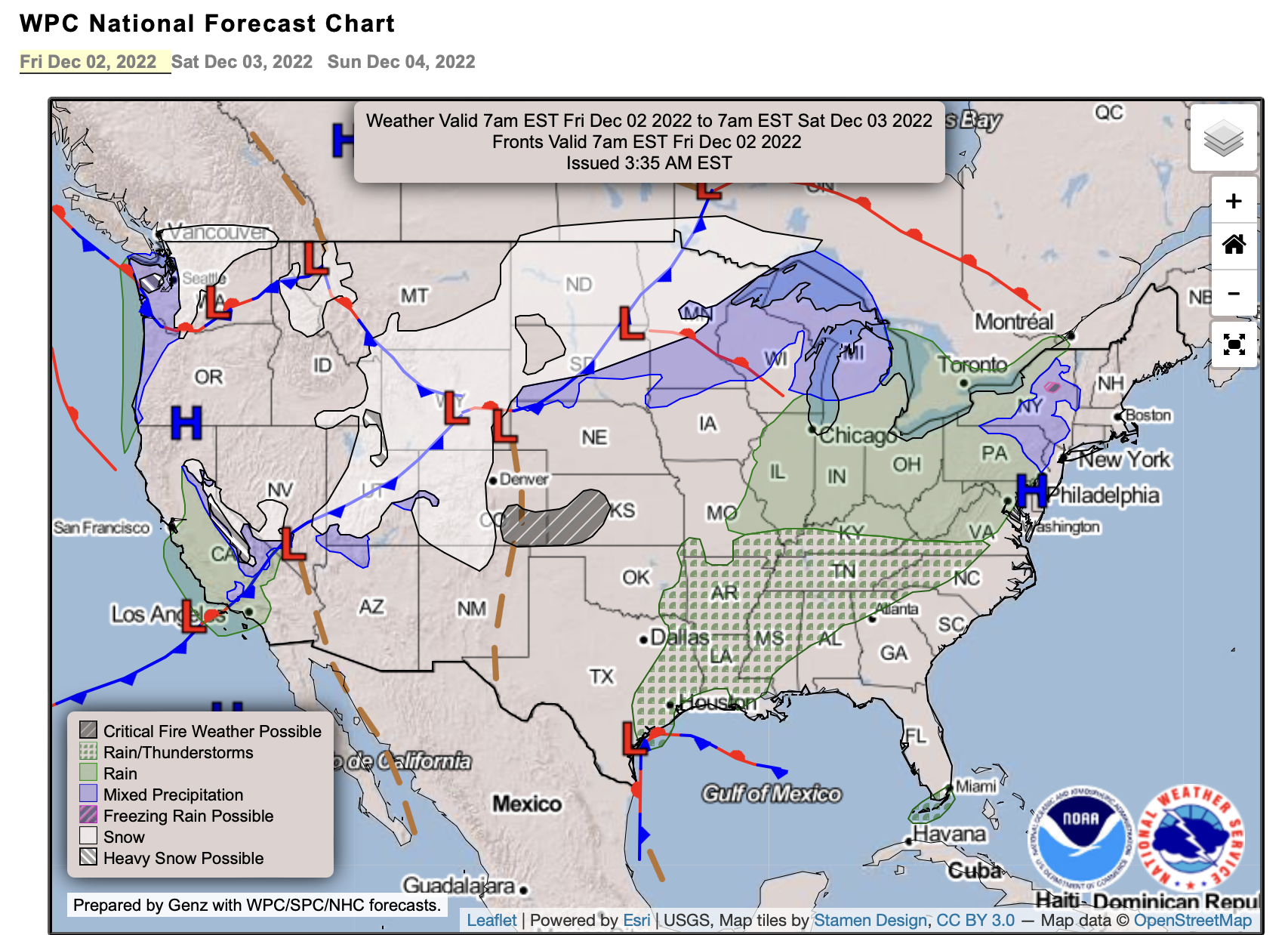
The weather prediction center is forecasting general rain and thunderstorms for the next 3-5 days as a few systems roll by this weekend and next week.

The morning AFD from NWS Nashville mentions that there is some model disagreement on exact placement of heaviest rain. We’ll be watching as models evolve over the weekend.
Here’s the WPC QPF outlook. It’s 7 days out, and won’t be perfect, but you can see a large section of our area will receive 3-5 inches of rain over the next week. Great for our drought.
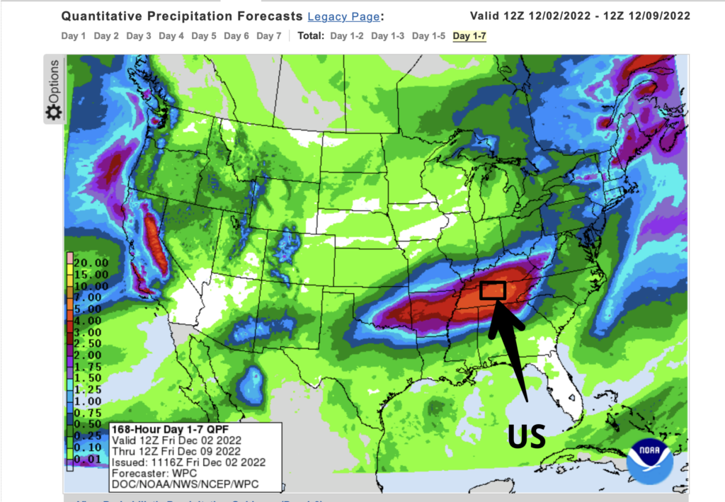
We’ll keep watching for a better prediction of the areas of heaviest rainfall. Don’t expect flooding issues at this point. Stay dry!
Quick References:
Weather changes constantly.
Follow @NashSevereWx on Twitter for any changes to this forecast.
Live coverage during tornado and severe thunderstorm warnings.

Look good.
Support the mission.

We are 100% community supported. No ads. No subscription fees. Keep it free for everyone.


Categories: Forecast Blogs (Legacy)
You must be logged in to post a comment.