

No sunblocking local clouds anywhere on satellite as I write this.
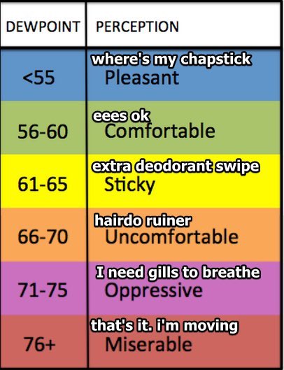
Dewpoints will top off in the low 60°s this week until a cold front comes through sometime Thursday and cuts it into the upper 50°s by Friday.
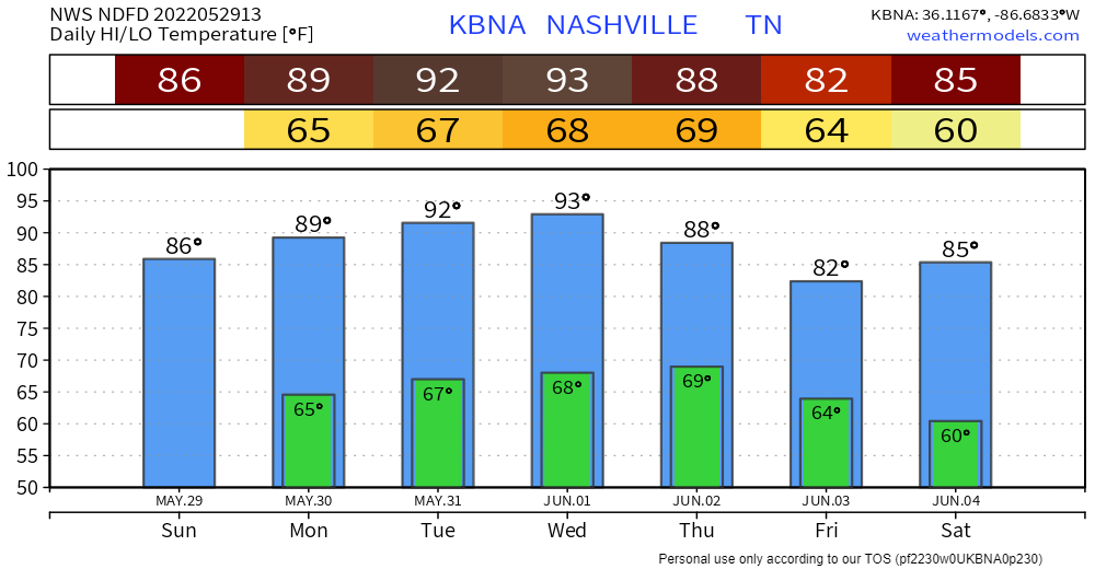
Temps crank this week thanks to a “death ridge” to our east baking us and swatting away rainmaking fronts.
Rain is possible anytime Weds night through Friday. Models are not sure. The front appears low-moisture and may even pass by dry. But the Euro has pockets of rain coming through mostly Thursday:
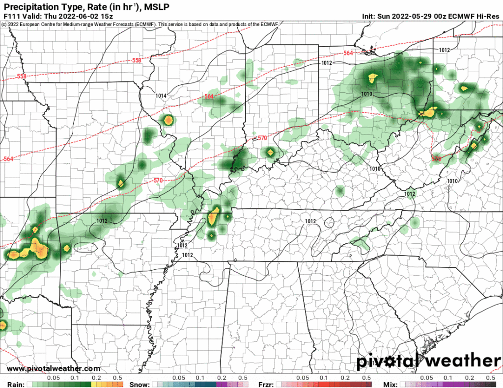
We’ll see about that. We like the Euro, but I don’t trust any model at this range.
Quick References:
Weather changes constantly.
Follow @NashSevereWx on Twitter for any changes to this forecast.
Live coverage during tornado and severe thunderstorm warnings:
Look good.
Support the mission.
We are 100% community supported. No ads. No subscription fees. Keep it free for everyone.
Categories: Forecast Blogs (Legacy)
You must be logged in to post a comment.