

Clouds lingering this morning will determine the high temp.
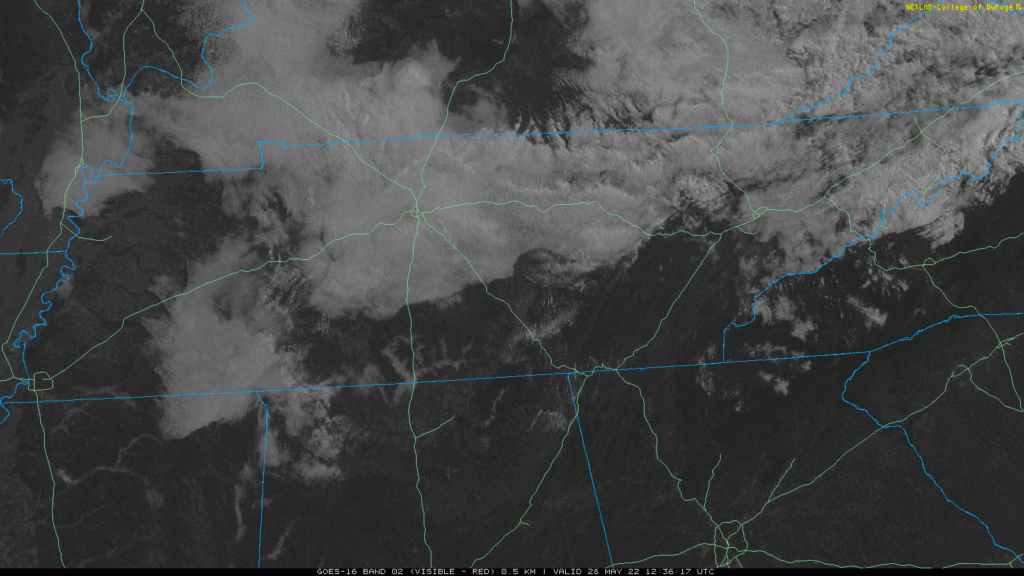
NWS-Nashville thinks they’ll hang around long enough to keep the high temp at 78°. We’re even getting sprinkles out of them. They should dissipate this afternoon. If clouds mix out sooner than that we should have no trouble getting into the 80°s.
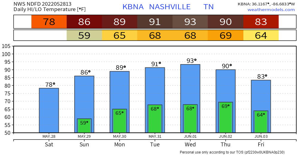
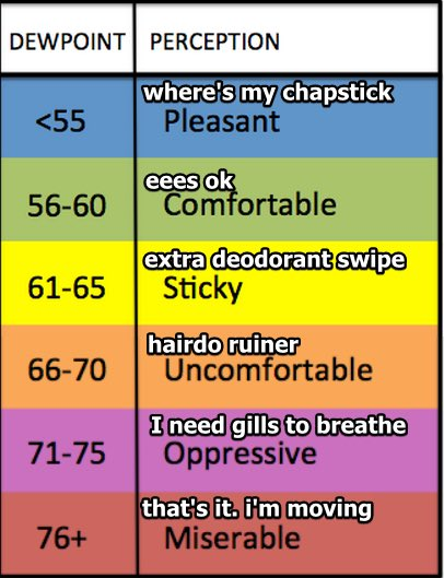
We heat up Sunday and Memorial Day as you saw, above. Dewpoints now running low 60°s so no longer “ideal” but still pretty good.
Low-Mid 90°s temps from a “death ridge” sitting off to our east Monday through Wednesday.
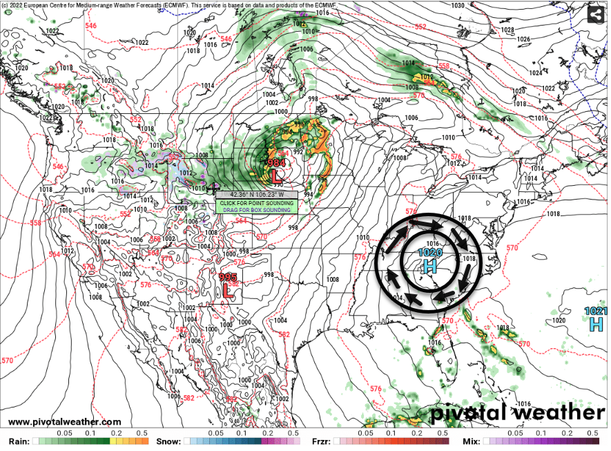
Death ridges have sinking air and mid-level warm air. This prevents rain.
Next maybe-not rain event ETA roughly Thursday (late Weds – Friday timing window). The “death ridge” departs and a front approaches. But the frontal passage looks “low QPF” meaning not much moisture with it. Some models have the front arriving dry. It may not even rain this coming week.
“The way-too-early peek at next weekend suggests mostly sunny skies and seasonal temperatures.” –@NWSNashville.
Quick References:
Weather changes constantly.
Follow @NashSevereWx on Twitter for any changes to this forecast.
Live coverage during tornado and severe thunderstorm warnings:
Look good.
Support the mission.
We are 100% community supported. No ads. No subscription fees. Keep it free for everyone.
Categories: Forecast Blogs (Legacy)
You must be logged in to post a comment.