
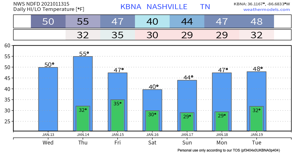
Dry Until Thursday Night
It’s noticeably warmer today…same for tomorrow with sunny skies sticking around. Light south winds today should become more gusty Thursday ahead of our next system.
An incoming front may bring a spotty shower late Thursday night into early Friday morning.
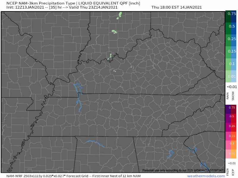
That’s about it. Nothing more than some light rain expected for Nashville.
Friday clears up with more sunshine, but we stay cold going into Saturday…
Overnight Friday into Saturday, if we are able to get any leftover moisture wrapped behind the low, we could see some light snow eventually becoming a mix as temps warm throughout the day.
NWS Forecaster’s Discussion 01/13/2021
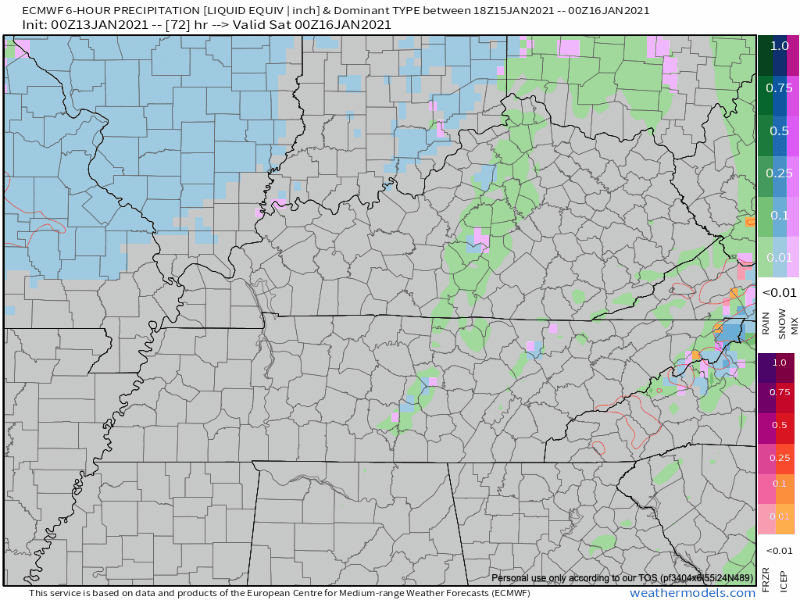
Accumulations (if any) look to be confined to a small portion of the Plateau, but fluctuations with how much moisture is available could change this forecast some over the next few days. We’re not impressed yet.
Saturday and Sunday will stay cold as the system moves east.
These are the best mornings to sleep in.

Next week looks unsettled also with the potential of a couple of systems to come through. But, we’ll look at those when we get closer.
But for now, Happy Wednesday!
As always, check back for updates to the forecast and be sure to follow @NashSevereWx on Twitter!
Categories: Forecast Blogs (Legacy)
You must be logged in to post a comment.