
Tuesday
Fog to start the day has since cleared. Expect a high of 69 with partly cloudy skies.
Can’t rule out some drizzle as an upper low moves into the area. HRRR Model isn’t very bullish:
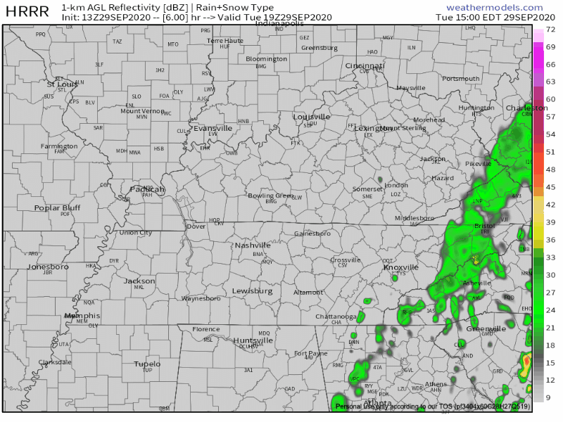
These will be a nuisance more than anything. Most will stay dry.
Warmup Wednesday
If you were tasked with creating the perfect weather day, this is it.
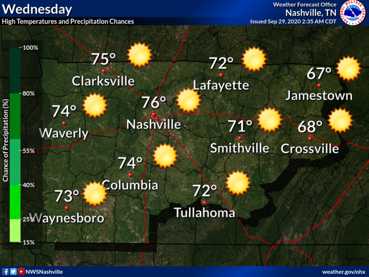
Sunny, high of 76, low dew points, no rain.
Even Cooler Air Coming
Another cold front will drop from the northwest Thursday. This will bring a reinforcing shot of fall air.
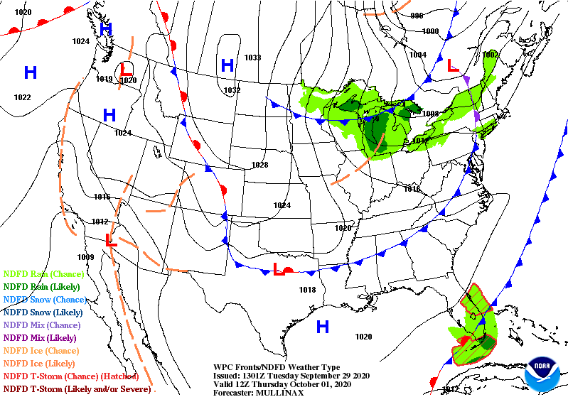
Might see some clouds along the front but no rain is expected.
Highs will drop into the 60s over the weekend with low 40s very likely overnight away from Nashville. Wouldn’t be shocked for someone to touch the upper 30s.
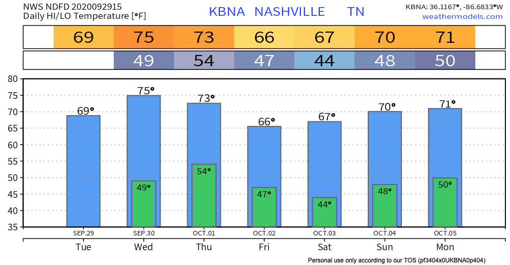
NWS Nashville didn’t mention issuing a frost advisory in their discussion this morning.
Morning lows in the mid-40s are still expected Friday morning and even cooler come Saturday morning — maybe even some upper 30s on the Plateau.
NWS Nashville Discussion 09-29-2020
Good news for planters.
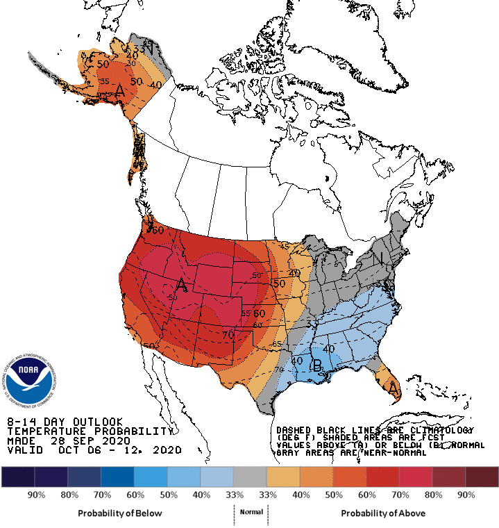
Cooler temps are expected to stick around.
CPC shows slightly below normal temperatures continuing through at least October 12.

Categories: Forecast Blogs (Legacy)
You must be logged in to post a comment.