
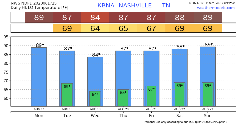
Beautiful Monday
High of 89 with dew points low-mid 60s. We will definitely take that for mid-August. No rain today with mostly sunny skies. Go outside and enjoy it.
Tonight will feature clear skies with temps hovering around 70
Tuesday
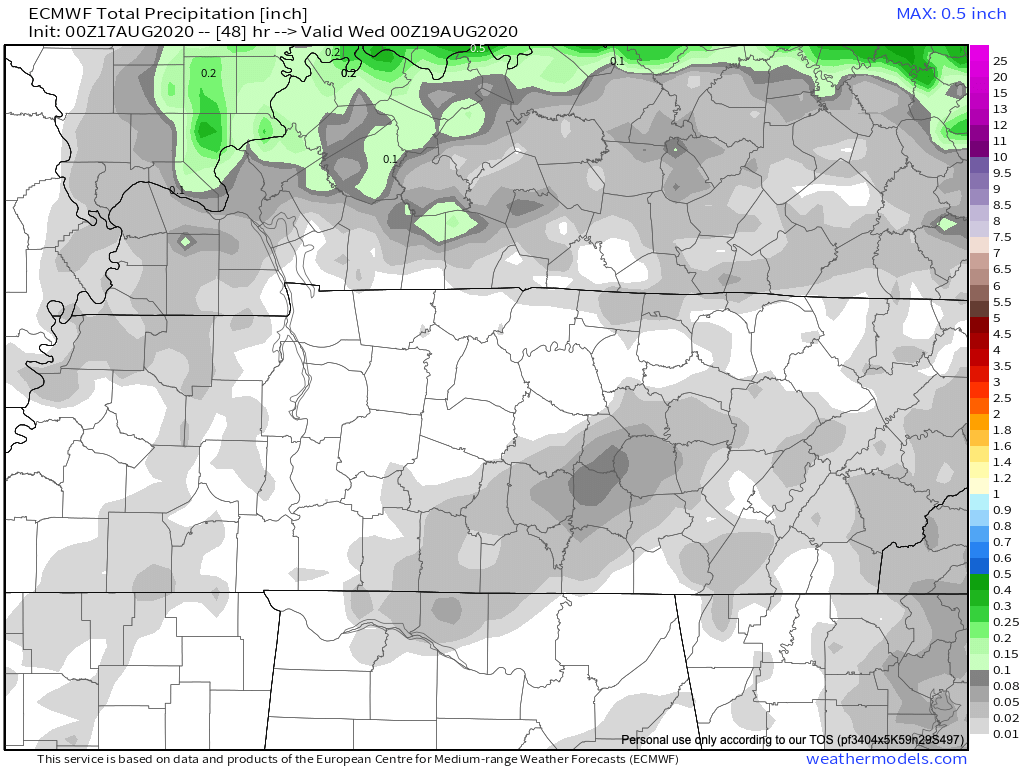
Rain chances creep upwards but still not looking at a lot.
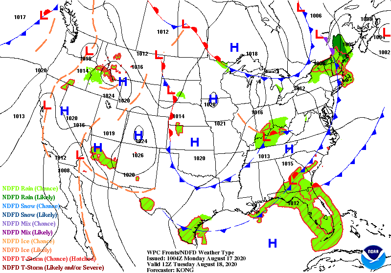
A weak disturbance moving through will provide enough lift for maybe a few scattered showers.
Euro Model (like yesterday) shows barely a drop.
Here’s what NWS Nashville says:
This feature will interact with increase capes by afternoon and there will be enough forcing to prompt the development of convection, especially in the afternoon. Just a general risk will be in place
NWS Nashville AFD 08-17-20
Don’t cancel outdoor plans. Have your radar nearby and check @NashSevereWx on twitter for any updates on storms should they form.
Looking Ahead
Humidity starts to increase mid-week and upper 60s to around 70 dew points return just in time for the weekend. This also means better rain chances.
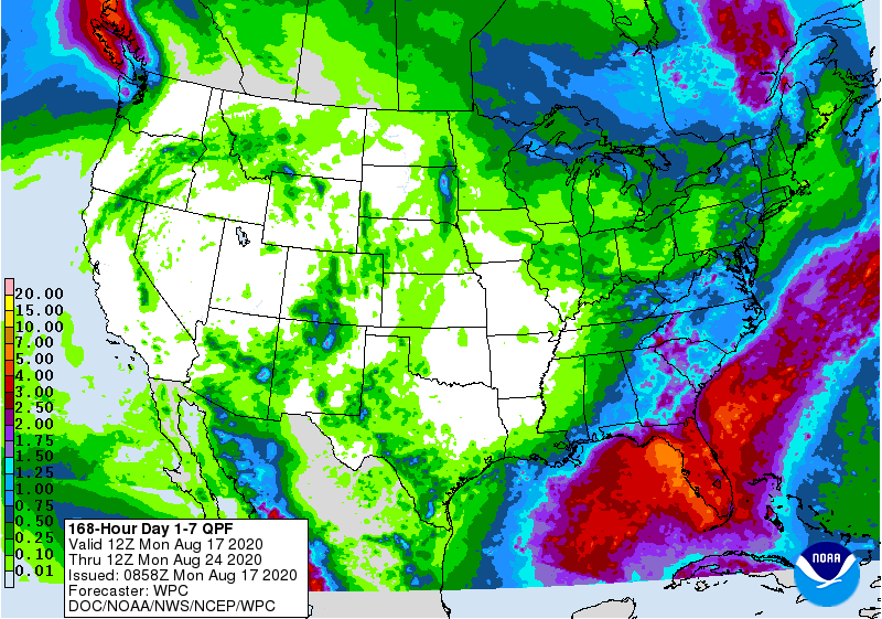
Still not much but of course individual backyard totals will vary.
Temperatures not too bad either
Enjoy the lower temps and humidity! We’ll be over on Twitter if any storms get going.

Categories: Forecast Blogs (Legacy)
You must be logged in to post a comment.