
Lots of sun, afternoon highs mid 60s today through Wednesday.
Rain Moves In Thursday Morning, Possible Rain/Snow Mix into Friday…?
Rain starts sometime during the Thursday morning rush hour.
Then it lingers through Thursday evening.
After midnight Thursday into Friday morning snowflakes may mix in.
It may not happen here; it’s more likely further north of I-40.
“Again, most moisture will be well E of mid state region before 850mb temps cool off below 0C. Any isolated light wintry accumulation amounts should remain around and N of I-40 Corridor.”
-NWS-Nashville Forecast Discussion (11/4/19)
If it happens it won’t last long.
The ground will be much warmer than the air so when it hits the earth it’ll melt.
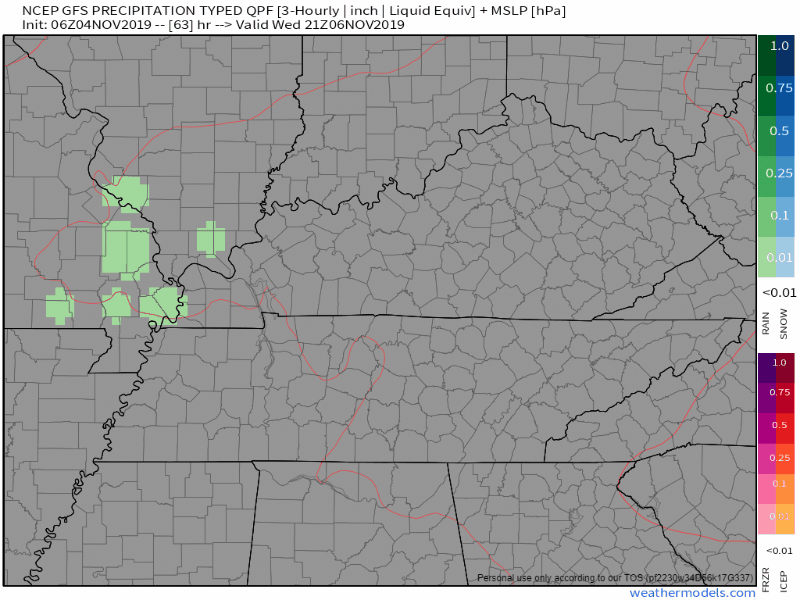
The models are not impressed; the GFS is showing no blue (snow) or pink (mix), it’s all green (rain):
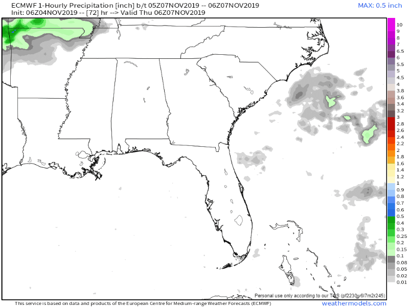
The Euro model has the pink and blue north of us.

While it’s possible flakes may be in the air, no impacts, no accumulation, and rain should be the dominant precip type.
Colder, Sunny Weekend
Highs in the upper 40s and low 50s with lows near freezing.

Watch out for freezing fog potential Saturday morning, low 27.
Check back for further updates and follow us on twitter @NashSevereWx!

Categories: Forecast Blogs (Legacy)
You must be logged in to post a comment.