
It’s still exceptionally humid. Dewpoints are in the low 70°s. That’s:

And here comes another wave of moisture through our area.
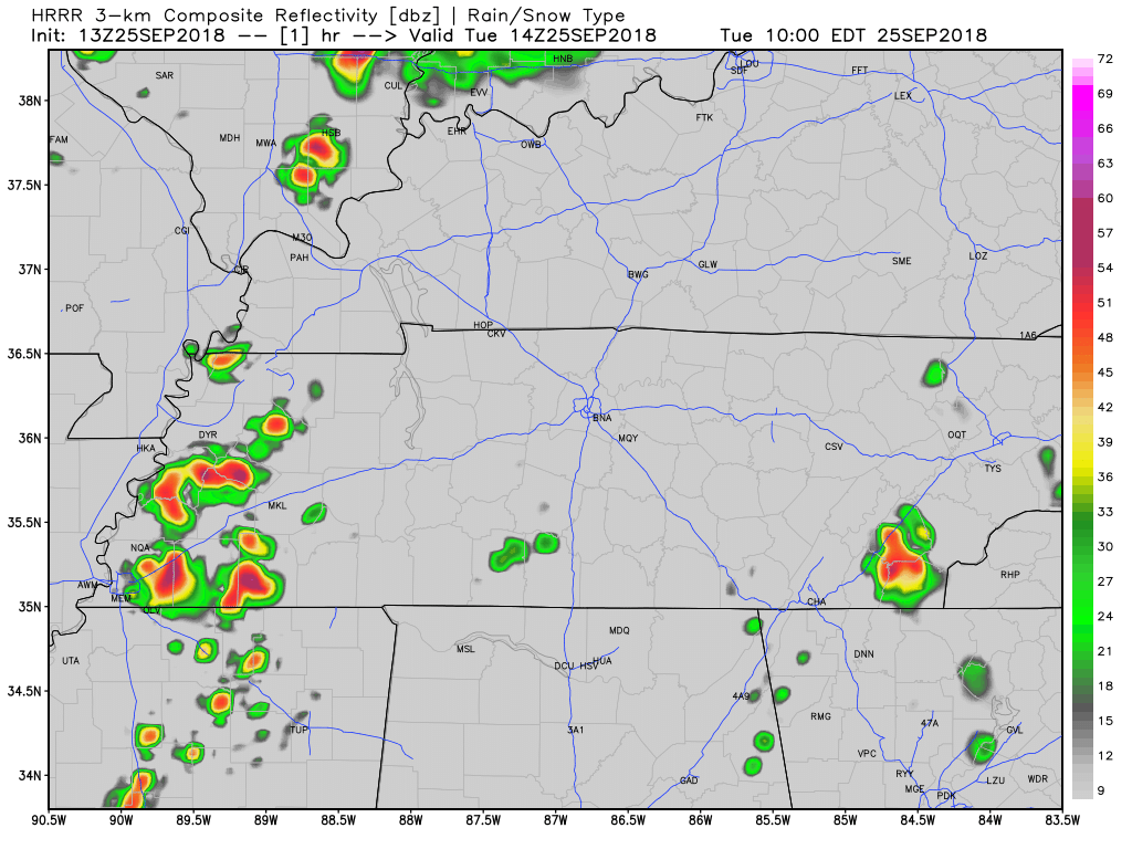
The HRRR model (see below) thinks rain will move through late this afternoon. The atmosphere does have energy stored up, and with a slight increase in wind shear just to the north of Nashville, a few strong storms could be in the mix. Yet the stronger storms should be pretty far north of us.
Cold Front Wednesday
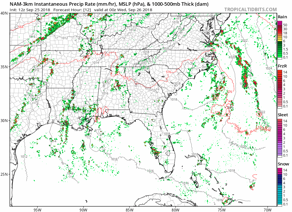
Rain chances rise again very late tonight into early Wednesday morning. As the NAM3 model thinks a cold front will push heavy rain through Middle Tennessee early Wednesday morning.
Most rain should be gone by Wednesday afternoon when the cooler, drier air arrives and squashes lingering showers.
The high Wednesday will be the low/mid 70s. Temps will begin falling in the afternoon, reaching down into the upper 60s by sunset.
Dewpoints projected to fall into the mid 50s. That’s going to make the outdoors feel much more pleasant!
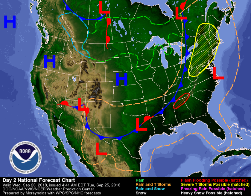
A real-deal break in the summer heat is on the way as the cold front (the blue spiky thing below) finally pushes east and removes our tropical, rainy airmass.
End of the week
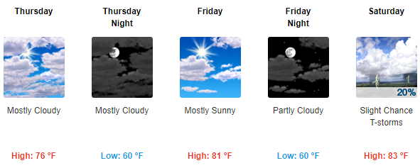
Cool temperatures won’t stick around very long. High temps push back into the upper 70s/low 80s by the end of the week. Thursday and Friday look dry, but we could see a few showers go up on Saturday. Nothing to cancel plans over.
I’m excited for another taste of Fall!
Stay clicked here and follow us on Twitter @NashSevereWx for updates!


Categories: Forecast Blogs (Legacy)
You must be logged in to post a comment.