
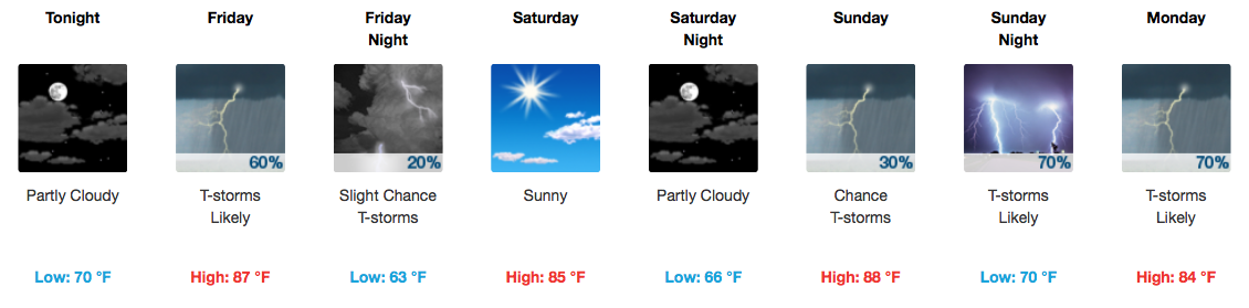
Better Chances for Storms Through the Weekend
Friday
Storms are expected to be more widespread on Friday as a cold front approaches. This front will be moving through during afternoon peak-heating hours, which means a few thunderstorms could become strong to severe. Damaging winds and hail will be the most notable threats. The Storm Prediction Center has us under a 1/5 risk, or “Marginal” risk.
SPC Day 2 (Friday) Convective Outlook
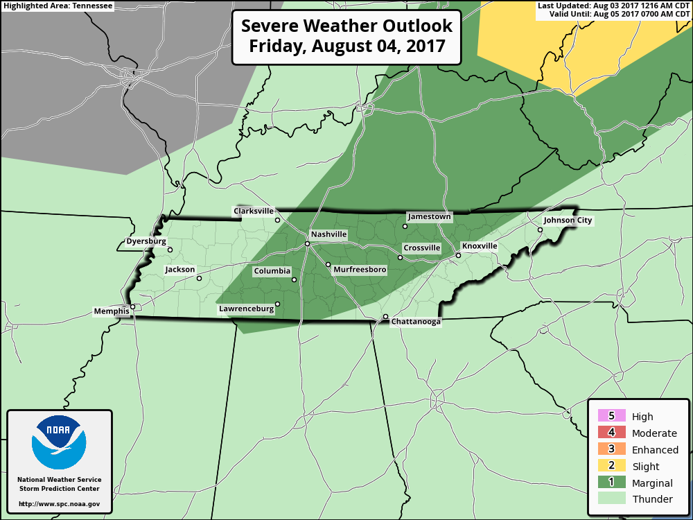
The only caveat to Friday is that some recent model runs have pushed off storm development to areas along and east of I-65. We’ll keep an eye on this trend as tomorrow afternoon nears.
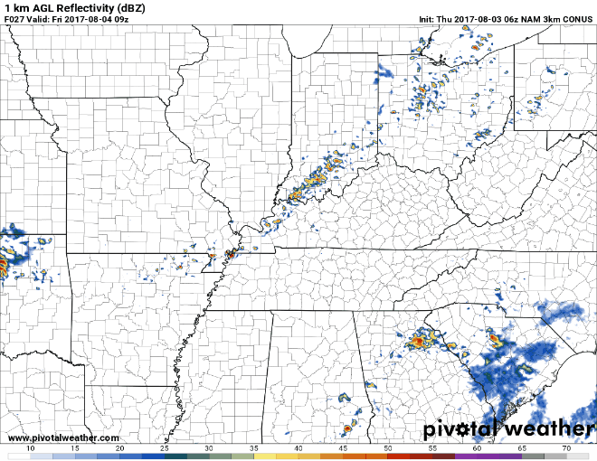
NAM3 Friday
Saturday and Sunday
Bottom line: Saturday looks great, Sunday not so much.
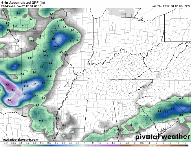
Humidity levels and temps will be fantastic on Saturday before our Sunday/Sunday night system arrives. Showers and storms will again be increasing Sunday afternoon, especially into Sunday night and Monday.
GFS 6-Hour Accumulated Precipitation Sunday through Tuesday PM
Rest of Next Week – Rain Chances Persist
With a pretty “relaxed” upper level flow, several small pieces of atmospheric energy will be allowed to traverse Middle Tennessee this coming week. Precipitation chances are kept in the official forecast through next Friday in response to this.
WPC Total Precipitation through Thursday morning
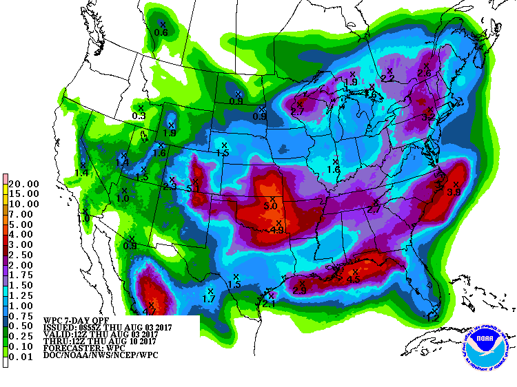
2.00″ of rain isn’t a whole lot over a 7-day period, but at least it’s something. Plus, if you get caught under a heavier storm between now and then, local rain amounts could definitely be higher.
Stay tuned to @NashSevereWx on Twitter for more frequent updates on this stormy forecast.

Categories: Forecast Blogs (Legacy)
You must be logged in to post a comment.