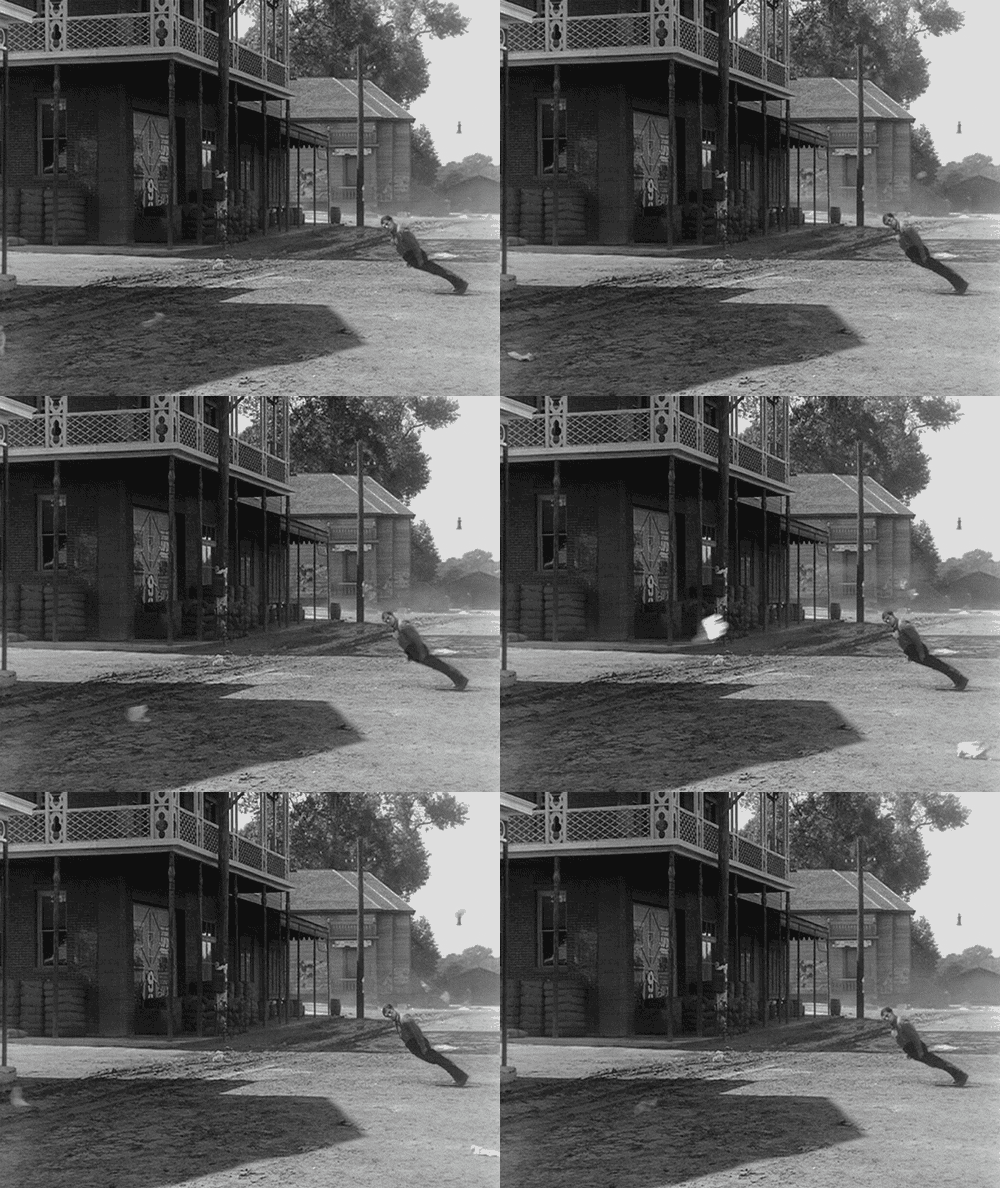
Hold Onto Your Hats!

In addition to strapping down any loose items outside, you’ll need the rain gear tonight/tomorrow. Latest high resolution guidance shows rain moving through the Davidson/Williamson County area:

All this activity is thanks to a weak cold front that will approach the area, but not really make it here in terms of cooling us down.
Rainy/Warm Work Week Continues Into the Holiday Weekend
Abnormally warm, southerly flow will continue through the next several days. In addition, several waves of energy will interact with this warm and increasingly wet airmass to produce shower activity on and off through the weekend.

To give an idea of this on-again off-again trend, this is the GFS model output (NOT A FORECAST) into next Tuesday. It shows a good deal of dry time over the weekend with a few showers intermixed; however, the EURO keeps us under the “rain belt” this weekend (a further south solution than the GFS). Better rain chances return Monday-Tuesday when a stronger cold front finally pushes the dreariness eastward.
Bottom line: Expect very warm weather this week, chances of showers to continue, and a lot of clouds to hang around.
Follow us on Twitter @NashSevereWx for more details on rain chances this week!
Current Radar
This website supplements @NashSevereWx on Twitter, which you can find here.
Categories: Forecast Blogs (Legacy)


You must be logged in to post a comment.