
Current Radar
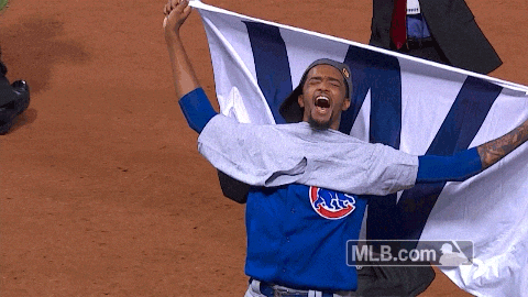
Cubs fans… congratulations!
Tonight: Shower or Storm Chance, Dwindling After 9PM
Update: We hit 83° at the airport today, which breaks a record set in 2012 and 2003. NWS Nashville says: “Hopefully this will be the last day in the 80s.”

Update: Most rain has stayed to the north and east of Davidson/Williamson counties this afternoon. Rain probabilities are very low this evening. After sunset, our minute rain chances see their way out.
A slight increase in winds out of the north will filter in overnight and into the day on Friday.
Minimal rain sure doesn’t help this drought monitor:
New US Drought Monitor map issued today. Areas W of 65 join in Moderate Drought category. Full map here. https://t.co/3SfHbeEBLw ^al pic.twitter.com/nM9qgaIsoo
— NashSevereWx (@NashSevereWx) November 3, 2016
Friday: Increase In Winds, Sun Returns – Wake Up 52° High 69°
Good news! Friday will feel somewhat like fall.
Temperatures in the afternoon will reach the upper 60s, and a good handful of us may not even see 70°+.
Hang onto your hats, though. Winds will pick up on the back side of the cold front due to a quick change in pressure (tighter pressure gradients = stronger winds).

Extended Outlook: Temps Near-A Little Above Normal, Rain Absent

Temperatures? That’s more like it…

So when does this warm/dry pattern finally break? The Climate Prediction Center keeps our temps above normal for the next 8-14 days…but not by a whole lot. We are trending towards cooler weather, it’s just taking awhile.

What about some rain?
Precipitation Outlook 8-14 Days

We’re right on the border of “probably below” normal precipitation. Take this with a grain of salt, but maybe a low pressure system next week will bring us a “more relevant” chance of rain.
Allergy Report: 5-Day Pollen.com Forecast

This website supplements @NashSevereWx on Twitter, which you can find here.
Categories: Forecast Blogs (Legacy)
You must be logged in to post a comment.