
Current Radar
Tonight: Warm, Storm Chances Deteriorate – 9PM 81°

Update: A few showers and storms have developed *west* of our area today. These are expected to die off before making it here, but don’t be surprised by a leftover shower.
Later tonight looks good from the weather department — temperatures will fall through the 80s under mostly clear skies. Any pesky afternoon shower should have moved on or dissipated by sunset.
Saturday: Another Scorcher, Very Minor Rain Worries – Wake Up 71° High 96°

As high pressure tries to work in, Saturday will remain a *mainly dry* day. Most of us will not see a drop of rain, however don’t be caught off guard if an unexpected rainer moves overhead.
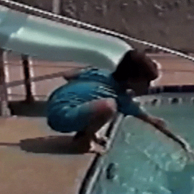
Saturday will be hot. Stay hydrated and limit strenuous activity outdoors if possible. It will, on the contrary, be a nice day for the pool.
Extended Outlook: Summer’s Here…Hot, Humid, PM Storm Chances

Storm chances ramp up on Monday with the approach of a cold front. In addition, a trough will setup across the Mississippi Valley, influencing the continued chance for showers and thunderstorms during the next work week.
Also, it will be hot.
Allergy Report: 5-Day Pollen.com Forecast

This website supplements @NashSevereWx on Twitter, which you can find here.
Categories: Forecast Blogs (Legacy)
You must be logged in to post a comment.