

Today – It’s Going to Rain – High 64°
Summary:

Radar loop last 4 hours. Refresh this page to refresh the image:

A few off and on light showers will continue to slide north into both counties this morning.
The HRRR thinks the main rain event will arrive by 1 PM. Here’s the HRRR simulated radar at noon:

1″ is expected through midnight:

The severe thunderstorm threat is really small. SPC removed us from the “Marginal” threat category:

The wind! HRRR pressure/winds at 4 PM shows the arrival of 30+ MPH wind gusts.

4 PM marks just the beginning of the winds, which will be strong tonight and overnight.
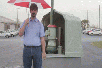
This wind will LOL at your umbrella, then destroy it. Even if you have a bionic umbrella, the wind driven rain will basically do this to you:
Rain is expected to taper off, but continue, overnight.
The good news is we won’t have a dramatic drop in temp. Today’s high will be in the mid 60°s. We’ll be in the mid 50°s tonight.
Monday – Rain, Gusty Winds in the Morning, Then Clearing – Wake Up 50°, High 54°
Some rain will hang around early. It’ll shove off, and winds will decrease, during the day, and we’ll ease into a cooler-and-calmer weather pattern for Thanksgiving week.


This website supplements @NashSevereWx on Twitter.
Categories: Forecast Blogs (Legacy)