
Remember this afternoon’s Forecast Discussion from the NWS, which made three main points about (1) Tonight, (2) Wednesday), & (3) Thursday.
(1). Tonight: The storms marching this way from Arkansas tonight into the wee hours of the morning may weaken.
This appears to be happening. Small hail and 40 mph are below severe criteria, but there was a new severe thunderstorm warning in Montgomery County, so we can’t discount the severe concerns.

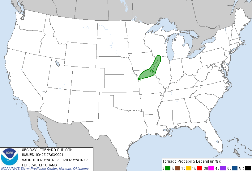
At 7:59 p.m., the Storm Prediction Center updated its severe weather outlooks, as follows:
The probability of Damaging Winds happening within 25 miles of you before 7 a.m. Wednesday: Remains at 15%:
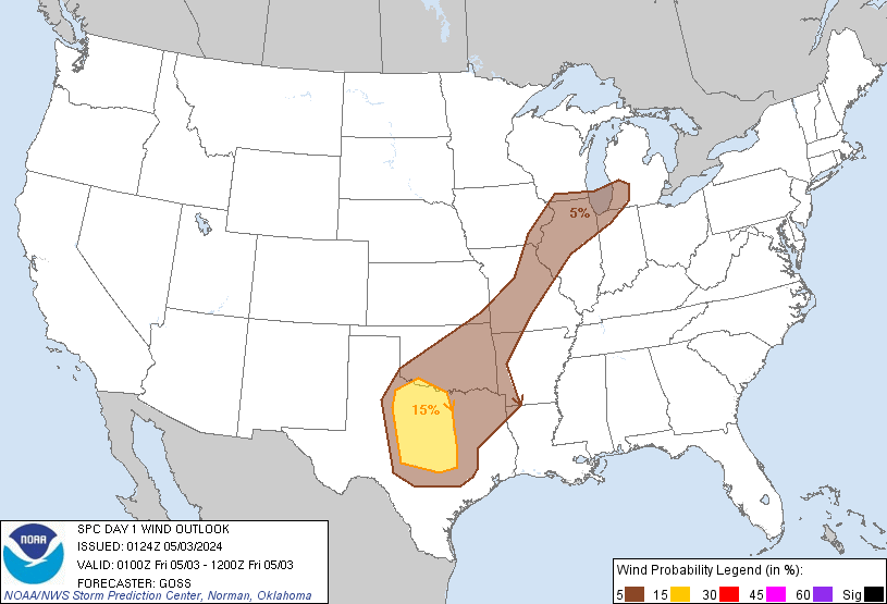
Probability of Large Hail happening within 25 miles of you before 7 a.m. Wednesday: Was 15%, Now 5%.

Probability of a Tornado within 25 miles of you before 7 a.m. Wednesday: Still 2%.
(2). Tomorrow: More strong to severe thunderstorms are possible Wednesday morning and afternoon. Afternoon storms should be strongest.
Here is the Storm Prediction Center’s updated Wednesday outlook. We still have a “Slight” risk of severe weather. The general probability of severe weather is 15%.

(3). Thursday: More rain and a few storms — not severe — should linger into Thursday.
Additional updates and real-time imminent/occurring storm information can be found on Twitter @NashSevereWx.
Categories: Forecast Blogs (Legacy)