
Today – High of 71

Very light, scattered showers or a thunderstorm possible today. Odds of one getting you are pretty low, but if it’s going to happen, the HRRR thinks 6pm is the most likely time:

Wednesday – High of 78

Like today, the odds of rain are small. If it’s going to rain, early evening is the most likely time. Here’s the Hi-Res NAM showing Wednesday night at 7pm:
 Thursday, Friday & Steeplechaseday
Thursday – High 82
Much like today and Wednesday — chance of rain or a thunderstorm, most likely in the late afternoon/evening hours.
Friday – High 77
Thunderstorms are likely Friday into Friday night. Our NWS was talking about it this morning:
MODELS CONTINUE TO PROMOTE THE
ARRIVAL OF A PRETTY DECENT
COLD FRONT . . . SLICING
ACROSS THE MID-STATE FRIDAY
NIGHT INTO SATURDAY AND
USHERING IN A PERIOD OF RATHER
COOL TEMPERATURES FOR SUNDAY
AND MONDAY.
Here’s what the GFS predicts for rain from 1am Friday morning through 1am Saturday morning. Each frame covers three hours:
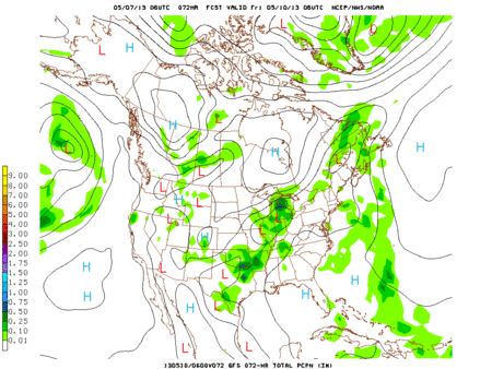
This isn’t nearly as much rain as predicted yesterday, but it’s steady and thunderstorms are possible. We aren’t expecting any severe weather, but that opinion may change as we get closer to the weekend.
Saturday – High 73
Two days ago, we thought rain. Yesterday, we thought it may clear out. Today, rain is creeping back into the picture.
The GFS delivers off-and-on light showers for Steeplechase. Here’s the GFS loop for Saturday from 7am until 10pm:

The European model agrees: off-and-on, light rain showers throughout the day.
Saturday temps will be in the 50s in the morning, warming up in the afternoon to the upper 60s/low 70s.
Sunday – High 68
The rain clears out, and slightly cooler temperatures move in.
Categories: Forecast Blogs (Legacy)