
Today
Happy Cinco de Mayo everyone!
We are sitting pretty right now, between the core of low pressure and the bands of rain wrapping around the system. Keeping us dry for now…
Infrared Satellite Imagery (yellow and blue high cold cloud tops usually rain):

The models have this low wrapping up and kinda of exploding with the heating of the day, then it dies right back down as the sun sets. The low pressure system will continue to drift east.
Loop of Hi-Res NAM Sunday 7 AM – Monday 7 AM:

Monday
Still could see some leftover showers in the morning.
Loop of high Res-NAM Monday 7 AM – Tuesday 7 AM:

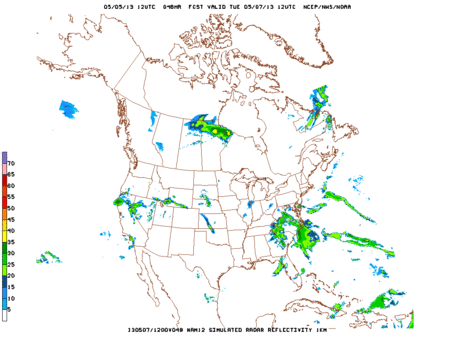
Tuesday
Better days ahead starting with a Tuesday forecast high of 74. This will be the first time since Friday we have seen temps in the 70s. The NAM models keep the roads wet for our morning commute, but after that we will finally be done with the rain. Let the drying out begin!
Loop of high Res-NAM Tuesday 7 AM – Wednesday 7 AM:
Flooding
Thankfully flooding is no longer a concern.
Cumberland River at Nashville:

River gauges in and around Nashville:

Categories: Forecast Blogs (Legacy)