
Monday
The weather version of the
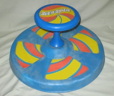
is a low pressure center. A few important differences between the Sit-n-Spin and a low pressure sit and spin include:
- The Sit-n-Spin rotates clockwise and counterclockwise. A weather sit and spin only rotates counterclockwise.
- The Sit-n-Spin rotates small children. A weather sit and spin rotates clouds and rain.
Similarities:
- Both may induce vomiting.
- Both can sit – for days – in one place without being picked up, until someone/someOne decides to pick them and place them where they belong (the toy closet or garage; Atlantic Ocean).
- A mature, tropical sit and spin / low pressure system can become a hurricane which generates winds up to 200+ mph. My childhood friend Frankie Vanderburg could accomplish a similar feat. He could sit on that thing and generate centrifugal force sufficient to vaporize Star Wars figures (or at least warp them into the bushes). Fathers attempting to stop Frankie by stepping on that thing risked a torn meniscus or severed cruciate ligament. Their strategy was to wait him out until the bearings in the sit-n-spin vaporized, or he tired himself out. I don’t know what came of Frankie, but $5 says he’s piloting fighter jets somewhere.
For the last several days, this particular low pressure center has been cut off from the winds which would push it into the Atlantic Ocean. Yesterday it was around Memphis. Today it crawled to E MS and N AL, which is around where all the models think it’ll be tomorrow as it drifts further east and spins light rain showers into middle Tennessee. Here’s the NAM model, which is a fair representation of the rest of the models:
Tuesday-Friday
Warmer, with a chance of a passing late-afternoon/early evening thunderstorm each day.
Steeplechase!

Yes, Saturday is Steeplechase. Will will be there. I’ll be monitoring the radar from the house. The Intern will either be performing some humiliating character-building exercise or on a storm chase in the Plains.
Any forecast after 72 hours is, in my unprofessional opinion, dabbling in voodoo science. The best way to “forecast” what’ll happen 5-6 days away is to research the climatology: what was it like on that day over the past 30 years? Climatology often outperforms weather models this far out.
Climatology
The average low/high temp for May 11 is 55/77. Average rainfall: 0.19″. So, of course there are days it rains, and days it doesn’t, but climatologically, it’s one of the wettest days of the year. (BTW, the wettest days of the year are May 12-15).
The Models
Here are the models at 1pm Saturday:
Euro:
GFS:
GFS Model Saturday at 1pm
NAM: does not run beyond 84 hours. Neither does the WRF, SREF, or anything else.
If you’re going, have a rain plan, but I’m sure you have one if you’ve been going over the past few years. Remember, May 11 is climatologically a wet day. Had the models predicted dry weather, I would not have believed it.
Bottom line: it might rain. Plan to go anyway. Check back tomorrow.
Categories: Forecast Blogs (Legacy)