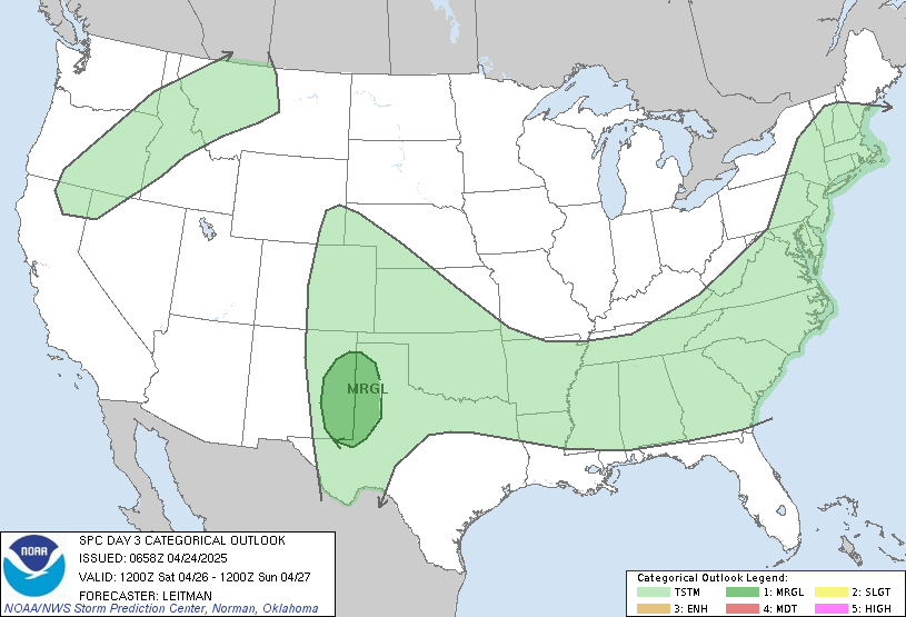
Storm Prediction Center (SPC)
The SPC has included us inside their “SLIGHT” risk category for severe weather Thursday. The outlook map below begins at 7am Thursday. Given the fact we’re on the west edge of the outlook area, we can conclude the SPC thinks the squall line will arrive Thursday morning after 7am. 
National Weather Service (NWS)
Our National Weather Service office agrees. They think our ETA is Thursday morning:
IMPORTANT DIFFERENCES REMAIN BETWEEN MODELS CONCERNING CONVECTIVE TIMING
WITH THE GFS MODEL REMAINING A CONSISTENT FAST OUTLIER. WE ARE TRENDING
TOWARD THE SLOWER NAM AND EUROPEAN MODELS, WHICH WILL FOCUS STORM CHANCES
IN THE LATE WED NIGHT TIME FRAME WEST...THURS MORNING I-65 CORRIDOR...THEN
LATER IN THE AFTERNOON ON THE PLATEAU.
Those of you who read last night’s post saw the European model advertising a Thursday night ETA. Well, no more. The latest run of the European model sends in the squall line just after noon. The other models send in the line before noon (one waaaay before noon). The models aren’t giving us the exact same ETAs, but confidence is increasing the line will be here Thursday morning.
Will There Be Tornadoes?
The NWS wrote in a Special Weather Statement issued at 8:14am that the main threat will be damaging winds. “Tornadoes cannot be ruled out . . . given the amount of wind shear forecast across the area.” (Wind shear is a change in direction and speed of the winds the further up the atmosphere you go). So, yes, there could be tornadoes embedded inside the squall line. Don’t discount the damaging wind potential. Severe thunderstorm winds are widespread and can be as strong as — and occasionally stronger than – weak tornado winds. Look for more updates as tonight, tomorrow, and certainly Thursday.
Categories: Forecast Blogs (Legacy)
