

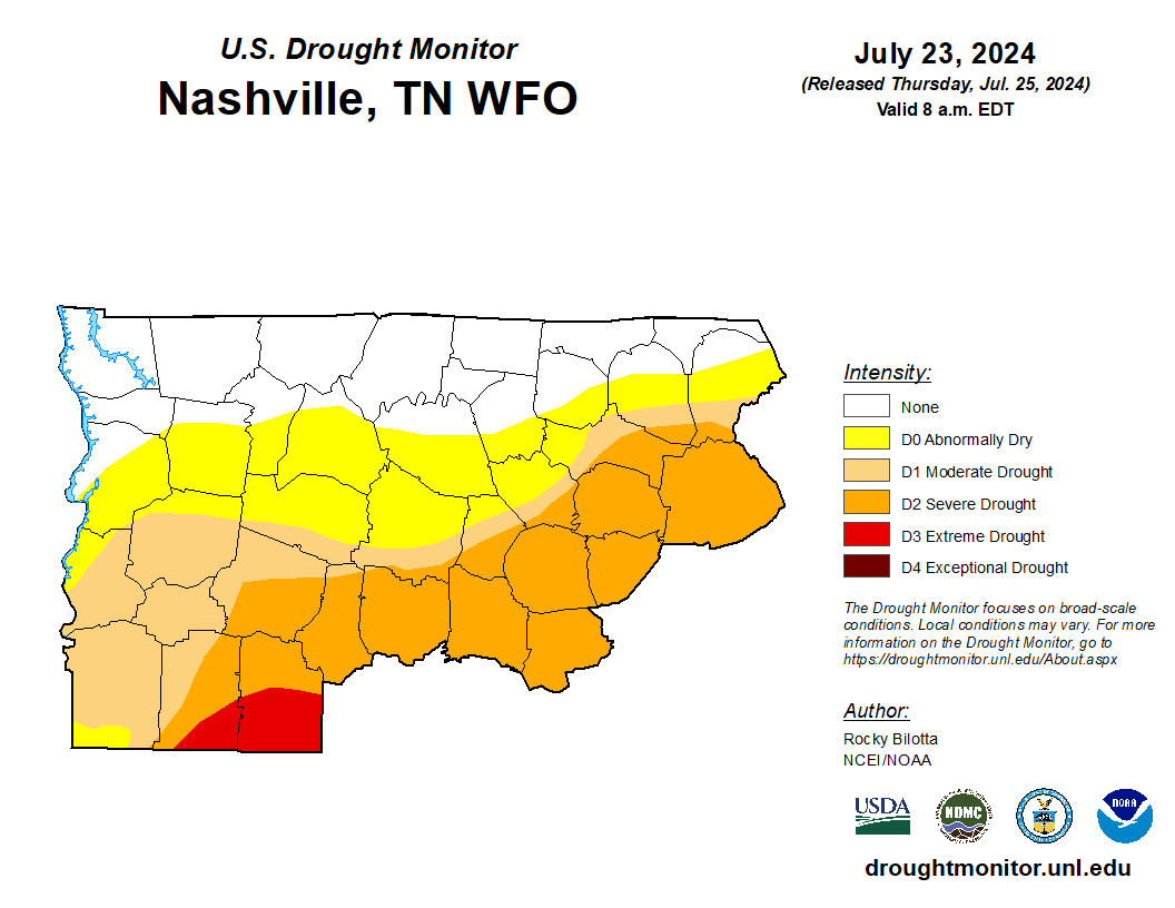
PSA:
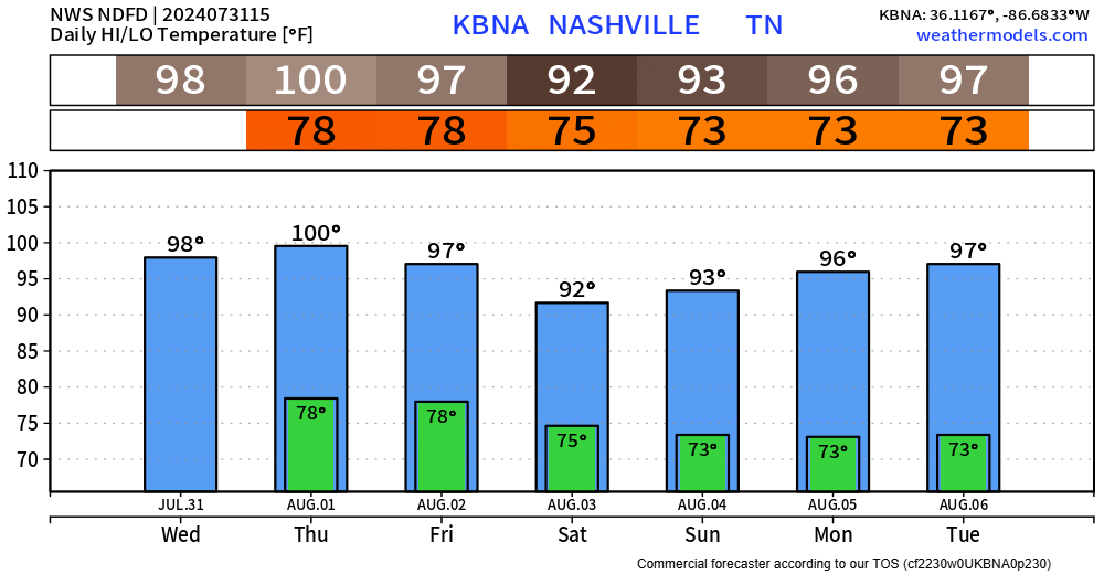
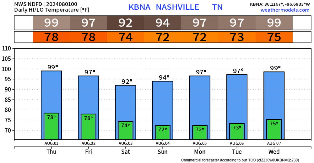
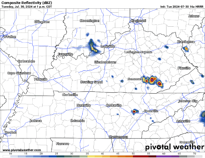
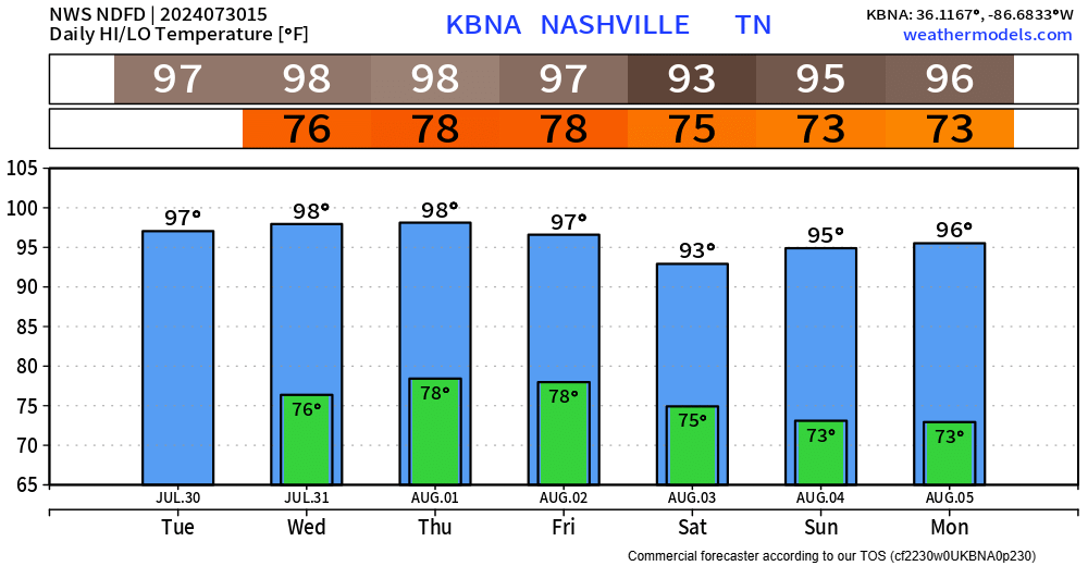
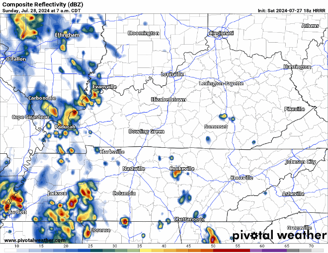
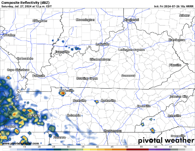
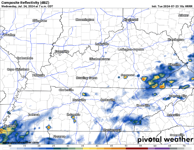
Rain chances today will be confined to the Plateau, leaving us dry. Concert-goers, fair-goers, any outdoor plan-goers, all good to go.
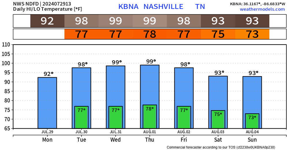
Although it’ll still be hot, it’s still summertime after all. Dewpoints will be in the upper 60s this week, making the heat a bit more manageable.


You must be logged in to post a comment.