
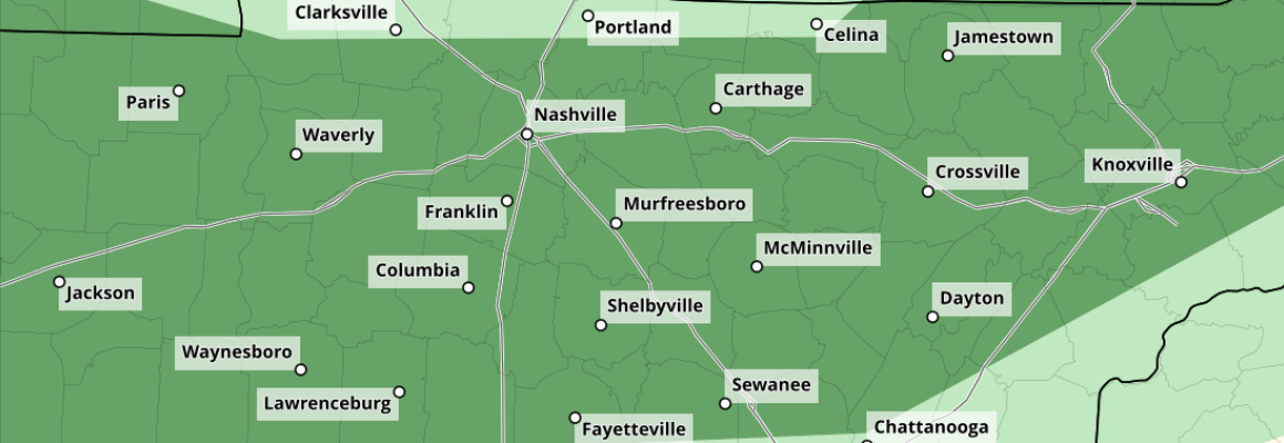
The Storm Prediction Center continues to have our two counties outlooked with a 5% chance of damaging straight-line winds and/or hail within 25 miles for storms this evening. We are not included in any probabilities for tornadoes.
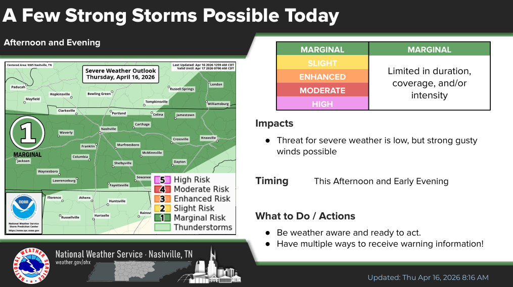
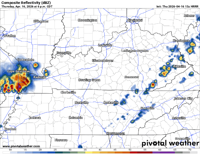
Timing wise, the HRRR model shows a cluster of storms rolling thru post-sunset tonight – closer to 8-10p. Just a rough timeframe that could certainly change, stay connected.
Again, this is a very low-end threat. Our parameters just really don’t look all that favorable for severe weather. Hopefully we can at least get some halfway decent rain out of this.
We’ll be keeping an eye on things and will post updates as needed on all of our socials.
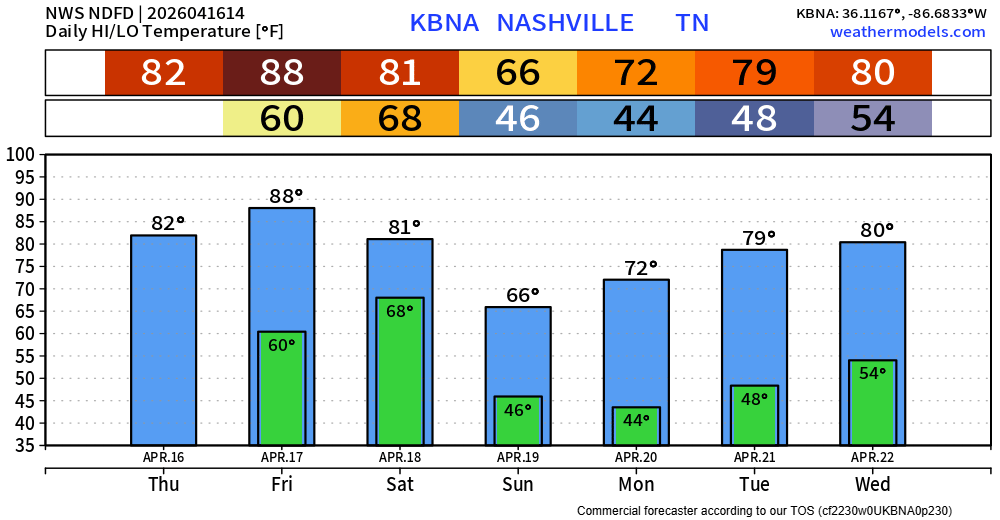
Our next shot at rain will be Saturday afternoon/evening along a long-awaited cold front. Although some general thunderstorms will be possible, no severe weather is expected.
The Euro has been pretty consistent with thinking on timing – and the GFS generally agrees.
Best guess now continues to be rain arriving generally in the afternoon, clearing out prior to midnight. Signs point to probably needing a back-up [indoor] solution for any outdoor plans for your Saturday plans post-lunch.
I’m not ready just yet to give any more specific timing other than ‘afternoon’ – but I do feel pretty good about the general timing considering model agreement/consistency. Continue to check back for any updates/changes.
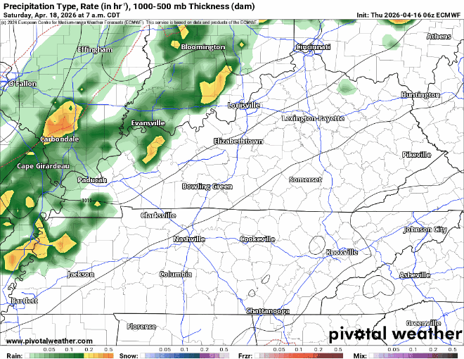
We’ll take any rain we can get, but totals don’t look all that impressive – only around 0.5″. Better than nothing.
The cold front will also help “cool” our temperatures down to closer to average – at least briefly. We’ll return to the 80s by the middle of next week, although mornings will stay noticeably cooler.
Speaking of rain – we could use some. As expected, our drought conditions continue to worsen. The upcoming rain will help a bit, but we have a long way to go.
Categories: Featured Blog