
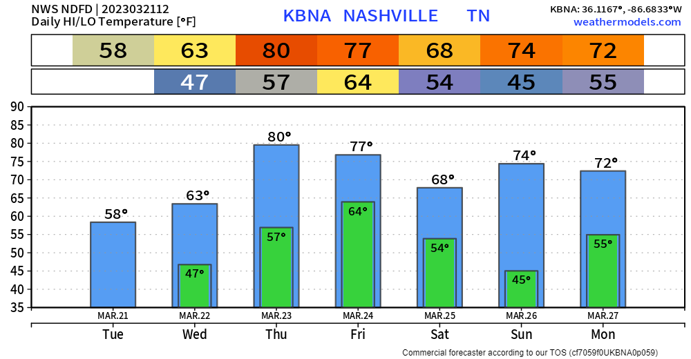
Now it is safe to say it is Spring, as at least for the foreseeable future, we won’t wake up to freezing temps.

Unfourtunately, rain chances pick up later today.
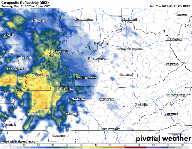
On/off rain chances begin this evening and will last through Wednesday afternoon. No flooding, severe weather, or really lightning concerns.
Thursday we are dry and borderline hot with high temps pushing 80°.
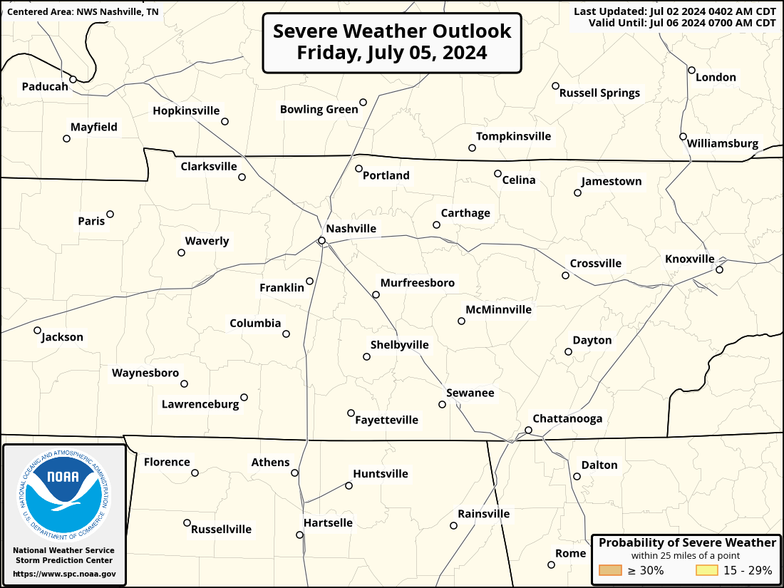
On Friday we maintain a 15% chance of severe weather within 25 miles. Details are slowly starting to become a little more clear. Timing wise the risk looks to be confined to Friday evening/night. This looks to be one of our high shear/low CAPE set ups, the better CAPE looks to be to our southwest. There are some pretty big differences between the GFS and EURO models right now, per usual. Hopefully they’ll start to agree more as the higher-resolution models come in. We’ll keep ya posted. Rainfall totals still look around 1-2″ which may be enough if it comes down heavy enough to cause some isolated flash flooding.
Saturday looks dry, rain chances return late Sunday into Monday.
Quick References:
Weather changes constantly.
Follow @NashSevereWx on Twitter for any changes to this forecast.
Live coverage during tornado and severe thunderstorm warnings:

Look good.
Support the mission.

We are 100% community supported. No ads. No subscription fees. Keep it free for everyone.


Categories: Forecast Blogs (Legacy)
You must be logged in to post a comment.