
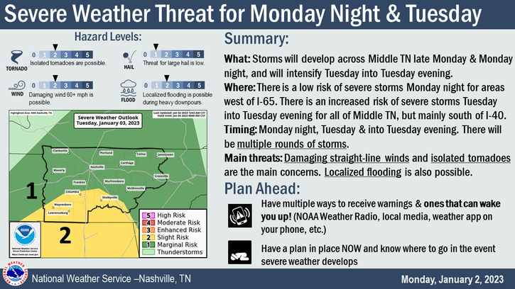
We are looking at three possible rounds of severe weather. Let’s break them each down. BTW, none of these looks like “slam dunk” chances.
First Chance:
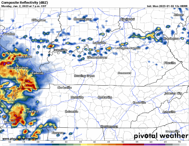
We may see some scattered showers this afternoon – these should not be severe.
Another batch of showers/storms moves in later tonight. With these we may see some damaging winds, but these storms are expected to weaken before arrival. Timing looks to be tonight in the 9-11pm range.
Second Chance:
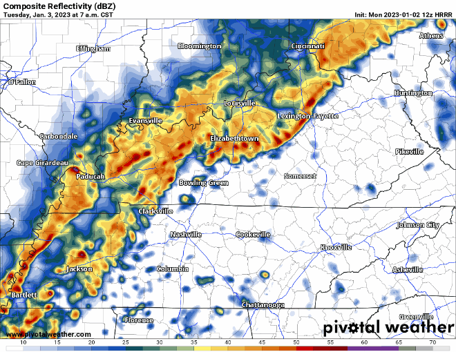
Timing looks to be pretty unusual for severe weather but looks like the line will move into our area around 9-11am Tuesday morning.
The Storm Prediction Center has outlooked our counties in a:
- 5% chance of a tornado within 25 miles
- 15% chance of damaging winds within 25 miles
- 5-15% chance of flash flooding within 25 miles
Third Chance:
If two wasn’t enough, another chance of severe weather looks to move into our area Tuesday night.
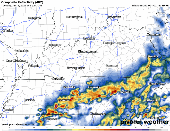
Main concern from this round would be damaging winds.
Overall:
The intensity of the second and third round highly depend on how well the atmosphere can recover from the previous round.
The main threats are damaging winds and isolated flash flooding, with a tornado or two possible. Higher severe chances exist to our west and south.
Stay connected tonight through tomorrow night. Things can and likely will change. No reason to let your guard down just because we don’t have the highest risk. Have multiple ways to receive warnings if one is issued for you.
Total rainfall amounts look to be 1.5-2″.
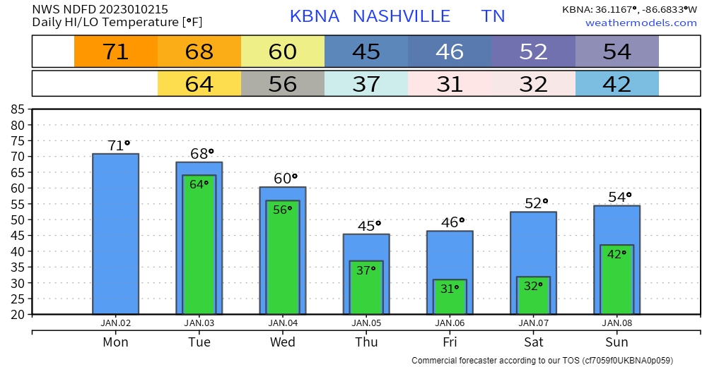
We’ll dry out Wednesday and begin our cool down to near-average temperatures. Next rain chance looks to be maybe Sunday.
Quick References:
Weather changes constantly.
Follow @NashSevereWx on Twitter for any changes to this forecast.
Live coverage during tornado and severe thunderstorm warnings.

Look good.
Support the mission.

We are 100% community supported. No ads. No subscription fees. Keep it free for everyone.


Categories: Forecast Blogs (Legacy)
You must be logged in to post a comment.